N8350 Airport Rd Watertown, WI 53094
Estimated Value: $149,000 - $552,000
--
Bed
--
Bath
--
Sq Ft
2.36
Acres
About This Home
This home is located at N8350 Airport Rd, Watertown, WI 53094 and is currently estimated at $320,475. N8350 Airport Rd is a home located in Jefferson County with nearby schools including Watertown High School, Watertown Catholic School - St. Bernard Campus, and Trinity-St. Luke's Lutheran Middle School.
Ownership History
Date
Name
Owned For
Owner Type
Purchase Details
Closed on
Aug 10, 2012
Sold by
Parmely John W and Parmely Janet M
Bought by
Parmely James J and Parmely Salley J
Current Estimated Value
Home Financials for this Owner
Home Financials are based on the most recent Mortgage that was taken out on this home.
Original Mortgage
$147,625
Interest Rate
3.54%
Mortgage Type
Purchase Money Mortgage
Create a Home Valuation Report for This Property
The Home Valuation Report is an in-depth analysis detailing your home's value as well as a comparison with similar homes in the area
Home Values in the Area
Average Home Value in this Area
Purchase History
| Date | Buyer | Sale Price | Title Company |
|---|---|---|---|
| Parmely James J | -- | None Available |
Source: Public Records
Mortgage History
| Date | Status | Borrower | Loan Amount |
|---|---|---|---|
| Closed | Parmely James J | $147,625 |
Source: Public Records
Tax History Compared to Growth
Tax History
| Year | Tax Paid | Tax Assessment Tax Assessment Total Assessment is a certain percentage of the fair market value that is determined by local assessors to be the total taxable value of land and additions on the property. | Land | Improvement |
|---|---|---|---|---|
| 2024 | $2,454 | $256,700 | $97,600 | $159,100 |
| 2023 | $2,597 | $175,600 | $63,000 | $112,600 |
| 2022 | $2,722 | $176,600 | $63,000 | $113,600 |
| 2021 | $2,633 | $176,600 | $63,000 | $113,600 |
| 2020 | $2,690 | $176,600 | $63,000 | $113,600 |
| 2019 | $2,532 | $176,600 | $63,000 | $113,600 |
| 2018 | $2,828 | $176,600 | $63,000 | $113,600 |
| 2017 | $2,573 | $176,600 | $63,000 | $113,600 |
| 2016 | $2,525 | $176,600 | $63,000 | $113,600 |
| 2015 | $2,518 | $176,600 | $63,000 | $113,600 |
| 2014 | $2,837 | $214,300 | $70,000 | $144,300 |
| 2013 | $2,970 | $214,300 | $70,000 | $144,300 |
Source: Public Records
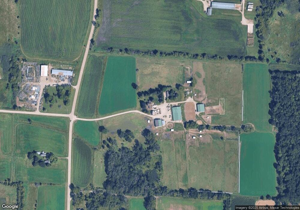
Map
Nearby Homes
- Lt0 Gateway Dr
- 0 E Confidential St Unit 1889932
- 908 Franklin St
- 1507 S 10th St
- 1418 S 9th St
- 1314 Waldron St
- 1330 S 10th St
- 1313 Utah St
- 131 Cedar Ct
- 1215 Utah St
- 758 Johnson St
- 750 Johnson St
- The Saybrook Plan at Rock River Ridge
- The Atwater Plan at Rock River Ridge
- The Hudson Plan at Rock River Ridge
- The Coral Plan at Rock River Ridge
- The Drake Plan at Rock River Ridge
- The Addison Plan at Rock River Ridge
- The Bradford Plan at Rock River Ridge
- The Catalina Plan at Rock River Ridge
- N8319 Airport Rd
- 21 Acres Airport Rd Ebenezer Road Rd
- 21 Acres Airport Rd Ebenezer Rd
- 21 Acres Airport Rd Ebenezer Rd
- N8259 Airport Rd
- N8259 Airport Rd
- N8495 Airport Rd
- Lt1 Airport Rd
- 0 Airport Rd Unit LOT 1 1514592
- N8506 Airport Rd
- N8516 Airport Rd
- N8526 Airport Rd
- N8322 High Rd
- N8431 County Road X
- N8538 Airport Rd
- N8433 High Rd
- 2011 Airport Rd
- N8170 Airport Rd
- N8560 Airport Rd
- N8266 High Rd