N8950 Michael Ln Watertown, WI 53094
Estimated Value: $545,068 - $748,000
--
Bed
--
Bath
--
Sq Ft
1.54
Acres
About This Home
This home is located at N8950 Michael Ln, Watertown, WI 53094 and is currently estimated at $653,517. N8950 Michael Ln is a home with nearby schools including Watertown High School, Good Shepherd Lutheran School, and St. Mark's Lutheran School.
Ownership History
Date
Name
Owned For
Owner Type
Purchase Details
Closed on
Apr 30, 2018
Sold by
Maunesha Real Estate Llc
Bought by
Curran Paul A and Curran Rachel A
Current Estimated Value
Home Financials for this Owner
Home Financials are based on the most recent Mortgage that was taken out on this home.
Original Mortgage
$36,800
Outstanding Balance
$31,722
Interest Rate
4.45%
Mortgage Type
New Conventional
Estimated Equity
$621,795
Purchase Details
Closed on
Aug 12, 2009
Sold by
River Road Estate Llc
Bought by
Farmers And Merchants State Bank
Create a Home Valuation Report for This Property
The Home Valuation Report is an in-depth analysis detailing your home's value as well as a comparison with similar homes in the area
Home Values in the Area
Average Home Value in this Area
Purchase History
| Date | Buyer | Sale Price | Title Company |
|---|---|---|---|
| Curran Paul A | $46,000 | -- | |
| Farmers And Merchants State Bank | $650,000 | None Available |
Source: Public Records
Mortgage History
| Date | Status | Borrower | Loan Amount |
|---|---|---|---|
| Open | Curran Paul A | $36,800 |
Source: Public Records
Tax History Compared to Growth
Tax History
| Year | Tax Paid | Tax Assessment Tax Assessment Total Assessment is a certain percentage of the fair market value that is determined by local assessors to be the total taxable value of land and additions on the property. | Land | Improvement |
|---|---|---|---|---|
| 2024 | $4,868 | $530,000 | $81,700 | $448,300 |
| 2023 | $4,860 | $326,500 | $46,000 | $280,500 |
| 2022 | $5,064 | $326,500 | $46,000 | $280,500 |
| 2021 | $4,938 | $326,500 | $46,000 | $280,500 |
| 2020 | $4,979 | $326,500 | $46,000 | $280,500 |
| 2019 | $875 | $46,000 | $46,000 | $0 |
| 2018 | $1,214 | $87,400 | $87,400 | $0 |
| 2017 | $1,261 | $87,400 | $87,400 | $0 |
| 2016 | $1,229 | $87,400 | $87,400 | $0 |
| 2015 | $1,172 | $87,400 | $87,400 | $0 |
| 2014 | $2,080 | $165,600 | $165,600 | $0 |
| 2013 | $2,189 | $165,600 | $165,600 | $0 |
Source: Public Records
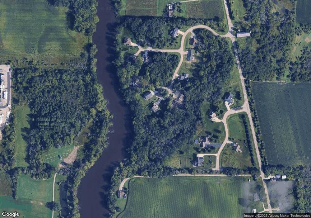
Map
Nearby Homes
- 225 E Haven Dr Unit B
- 1402 Richards Ave
- 412 Bradley St
- 1568 E Gate Dr
- 409 Humboldt St Unit 1
- N8538 River Rd
- LT3 Rock River Paradise
- 1025 Richards Ave
- 323 Summit Ave
- 219 E Water St
- 1507 S 10th St
- 908 Franklin St
- 1330 S 10th St
- 809 Richards Ave
- 1418 S 9th St
- 625 S 12th St
- 623 S 12th St
- 1149 Boughton St Unit Lt3
- 110 Riverlawn Ave
- 709 S 10th St
- N8949 Michael Ln
- N8917 Martins Way
- N8990 Michael Ln
- N8972 Michael Ln
- N8913 Martins Way
- W3047 Matthew Ct
- N8931 Martins Way
- W3053 Matthew Ct
- N8899 River Rd
- Lot 9 Michael Ln
- W3059 Matthew Ct
- N8939 Martins Way
- N8922 Martins Way
- Lt7 River Rd Rd
- N8989 Michael Ln
- Lot 1 River Rd
- Lt15 Michael Ln
- Lot 15 Michael Ln
- N9021 River Rd
- N8894 River Rd