S1468 Indian Trail Pkwy Baraboo, WI 53913
Estimated Value: $495,000 - $730,000
--
Bed
--
Bath
--
Sq Ft
0.52
Acres
About This Home
This home is located at S1468 Indian Trail Pkwy, Baraboo, WI 53913 and is currently estimated at $571,917. S1468 Indian Trail Pkwy is a home located in Sauk County with nearby schools including Wisconsin Dells High School.
Ownership History
Date
Name
Owned For
Owner Type
Purchase Details
Closed on
Aug 12, 2013
Sold by
Zimmerman Raymond M and Strong Lynn A
Bought by
Zimmerman Raymond M and Strong Lynn A
Current Estimated Value
Purchase Details
Closed on
Feb 29, 2008
Sold by
Grauvog Anthony J and Grauvog Deborah S
Bought by
Zimmerman Raymond M and Strong Lynn A
Home Financials for this Owner
Home Financials are based on the most recent Mortgage that was taken out on this home.
Original Mortgage
$191,500
Interest Rate
6%
Mortgage Type
New Conventional
Create a Home Valuation Report for This Property
The Home Valuation Report is an in-depth analysis detailing your home's value as well as a comparison with similar homes in the area
Home Values in the Area
Average Home Value in this Area
Purchase History
| Date | Buyer | Sale Price | Title Company |
|---|---|---|---|
| Zimmerman Raymond M | -- | None Available | |
| Zimmerman Raymond M | $261,500 | None Available |
Source: Public Records
Mortgage History
| Date | Status | Borrower | Loan Amount |
|---|---|---|---|
| Previous Owner | Zimmerman Raymond M | $191,500 |
Source: Public Records
Tax History Compared to Growth
Tax History
| Year | Tax Paid | Tax Assessment Tax Assessment Total Assessment is a certain percentage of the fair market value that is determined by local assessors to be the total taxable value of land and additions on the property. | Land | Improvement |
|---|---|---|---|---|
| 2024 | $2,112 | $472,000 | $64,400 | $407,600 |
| 2023 | $1,982 | $251,900 | $31,200 | $220,700 |
| 2022 | $3,744 | $251,900 | $31,200 | $220,700 |
| 2021 | $3,620 | $251,900 | $31,200 | $220,700 |
| 2020 | $3,572 | $251,900 | $31,200 | $220,700 |
| 2019 | $3,598 | $251,900 | $31,200 | $220,700 |
| 2018 | $3,791 | $251,900 | $31,200 | $220,700 |
| 2017 | $3,579 | $251,900 | $31,200 | $220,700 |
| 2016 | $3,666 | $251,900 | $31,200 | $220,700 |
| 2015 | $3,594 | $251,900 | $31,200 | $220,700 |
| 2014 | $3,634 | $251,900 | $31,200 | $220,700 |
Source: Public Records
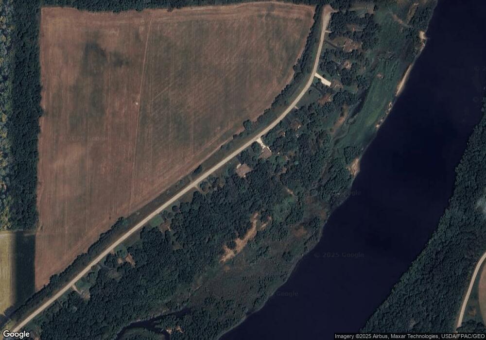
Map
Nearby Homes
- L22 Hillside
- S1903 County Road A Unit 65
- L27-29 Hillside
- S1974 County Highway A Acres
- S1974 County Road A
- 12 Dakota Ridge Rd
- 9/10 Dakota Ridge Rd
- 31 Eagles Nest
- 68 Wild Turkey Rd
- 77 Morningside Rd
- 73 Morningside Rd
- 66 Wild Turkey Rd
- L23 Hillside Dr
- Lot 1 Hillside Dr
- 61 Dakota Ridge Rd
- 56 Redhawk Trail
- 58 Redhawk Trail
- 33B Grand Canyon Dr Unit 207
- 33A Grand Canyon Dr Unit 110
- 33A Grand Canyon Dr Unit 104
- S1462 Indian Trail Pkwy
- S1476 Indian Trail Pkwy
- S1450 Indian Trail Pkwy
- S1444 Indian Trail Pkwy
- S1488 Indian Trail Pkwy
- S1432 Indian Trail Pkwy
- S1426 Indian Trail Pkwy
- S1496 Indian Trail Pkwy
- S1420 Indian Trail Pkwy
- S1500A Indian Trail Pkwy
- S1500A Indian Trail Pkwy
- S1500A Indian Trail Pkwy
- S1416 Indian Trail Pkwy
- S1410 Indian Trail Pkwy
- S1404 Indian Trail Pkwy
- S1504 Indian Trail Pkwy
- N8537 Fox Run Rd
- N8531 Fox Run Rd
- S1508 Indian Trail Pkwy
- N8517 Fox Run Rd