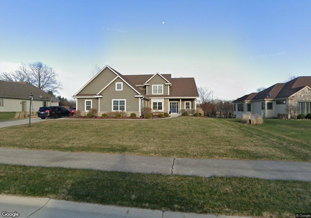
W164S7126 Raven Rd Muskego, WI 53150
Estimated Value: $698,000 - $928,000
4
Beds
3
Baths
2,750
Sq Ft
$290/Sq Ft
Est. Value
About This Home
This home is located at W164S7126 Raven Rd, Muskego, WI 53150 and is currently estimated at $798,777, approximately $290 per square foot. W164S7126 Raven Rd is a home with nearby schools including Muskego Lakes Middle School, Muskego High School, and St. Leonard School.
Ownership History
Date
Name
Owned For
Owner Type
Purchase Details
Closed on
Mar 26, 2012
Sold by
Cas Investments Llc
Bought by
Theesfeld Shawn C and Theesfeld Melissa L
Current Estimated Value
Purchase Details
Closed on
Mar 22, 2012
Sold by
Basse Alvin C and Basse Carolyn M
Bought by
Cas Investments Llc
Purchase Details
Closed on
Jan 26, 2011
Sold by
Cas Investments Llc
Bought by
Basse Alvin C and Basse Carolyn M
Create a Home Valuation Report for This Property
The Home Valuation Report is an in-depth analysis detailing your home's value as well as a comparison with similar homes in the area
Home Values in the Area
Average Home Value in this Area
Purchase History
| Date | Buyer | Sale Price | Title Company |
|---|---|---|---|
| Theesfeld Shawn C | $75,000 | None Available | |
| Cas Investments Llc | $65,000 | None Available | |
| Basse Alvin C | -- | None Available |
Source: Public Records
Tax History Compared to Growth
Tax History
| Year | Tax Paid | Tax Assessment Tax Assessment Total Assessment is a certain percentage of the fair market value that is determined by local assessors to be the total taxable value of land and additions on the property. | Land | Improvement |
|---|---|---|---|---|
| 2024 | $6,177 | $531,200 | $125,000 | $406,200 |
| 2023 | $6,115 | $531,200 | $125,000 | $406,200 |
| 2022 | $5,817 | $518,600 | $125,000 | $393,600 |
| 2021 | $5,773 | $518,600 | $125,000 | $393,600 |
| 2020 | $6,107 | $432,800 | $108,500 | $324,300 |
| 2019 | $6,077 | $432,800 | $108,500 | $324,300 |
| 2018 | $6,140 | $432,800 | $108,500 | $324,300 |
| 2017 | $6,105 | $432,800 | $108,500 | $324,300 |
| 2016 | $6,550 | $411,500 | $103,000 | $308,500 |
| 2015 | $6,600 | $411,500 | $103,000 | $308,500 |
| 2014 | $7,186 | $411,500 | $103,000 | $308,500 |
| 2013 | $7,186 | $411,500 | $103,000 | $308,500 |
Source: Public Records
Map
Nearby Homes
- W162S7043 Olive Cir Unit 22
- W163S7358 Bay Lane Dr
- S73W16773 Briargate Ln
- S70W15770 Sandalwood Dr
- W170S7361 Parkland Dr Unit 13
- S75W16788 Jacob Ct Unit 12
- N51W19119 Quietwood Dr
- S66W16256 Chestnut Ridge Ct
- W171S7452 Lannon Dr
- S73W17268 Lake Dr
- Lt4 Lannon Dr
- Lt0 College Ave
- S73W15032 Cherrywood Dr
- S70W14872 Dartmouth Cir
- Lt1 College Ave
- S70W14845 Dartmouth Cir
- W150S7586 Dorothy Dr
- Brookhaven Plan at Kirkland Crossing
- The Sycamore Plan at Kirkland Crossing
- The Maple Plan at Kirkland Crossing
- W164S7132 Raven Rd
- W164S7114 Raven Rd
- W164S7121 Raven Rd
- S70W16393 Hedgewood Dr
- S71W16459 Glen Cove Ct
- S71W16532 Glen Cove Ct
- S71W16431 Glen Cove Ct
- S71W16505 Glen Cove Ct
- S70W16381 Hedgewood Dr
- S71W16533 Glen Cove Ct
- S71W16556 Glen Cove Ct
- S70W16379 Hedgewood Dr
- S70W16378 Hedgewood Dr
- S71W16575 Glen Cove Ct
- W166S7134 Still Meadow Ct
- S70W16367 Hedgewood Dr
- S70W16352 Hedgewood Dr
- W166S7122 Still Meadow Ct
- S71W16613 Glen Cove Ct
- W162S7039 Olive Cir Unit 19