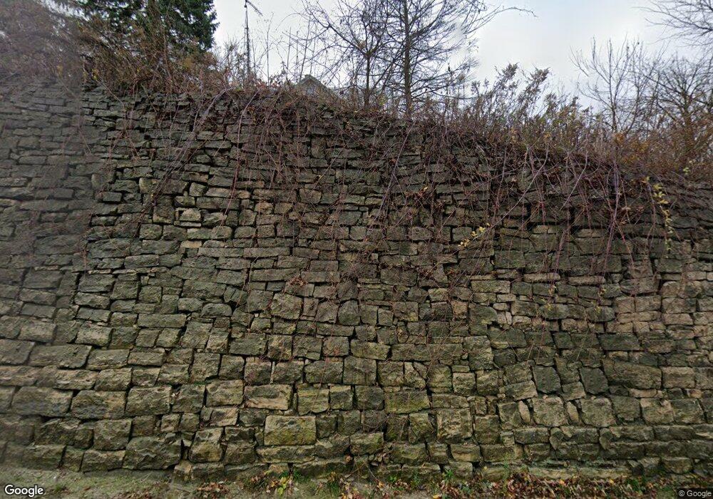
W2847 State Road 33 Mayville, WI 53050
Estimated Value: $420,000 - $765,000
--
Bed
--
Bath
--
Sq Ft
33.01
Acres
About This Home
This home is located at W2847 State Road 33, Mayville, WI 53050 and is currently estimated at $578,555. W2847 State Road 33 is a home located in Dodge County with nearby schools including Parkview Elementary School, Mayville Elementary School, and Mayville Junior/Senior High School.
Ownership History
Date
Name
Owned For
Owner Type
Purchase Details
Closed on
Dec 18, 2014
Sold by
May Tiffany and May Kevin
Bought by
May Tiffany and May Kevin
Current Estimated Value
Home Financials for this Owner
Home Financials are based on the most recent Mortgage that was taken out on this home.
Original Mortgage
$110,000
Outstanding Balance
$84,414
Interest Rate
3.97%
Mortgage Type
Commercial
Estimated Equity
$494,141
Purchase Details
Closed on
Feb 22, 2013
Sold by
Dogs Larry
Bought by
Kluge Dewain E and May Tiffany
Create a Home Valuation Report for This Property
The Home Valuation Report is an in-depth analysis detailing your home's value as well as a comparison with similar homes in the area
Home Values in the Area
Average Home Value in this Area
Purchase History
| Date | Buyer | Sale Price | Title Company |
|---|---|---|---|
| May Tiffany | -- | None Available | |
| May Tiffany | $43,400 | None Available | |
| May Tiffany | $43,400 | None Available | |
| Kluge Dewain E | -- | None Available |
Source: Public Records
Mortgage History
| Date | Status | Borrower | Loan Amount |
|---|---|---|---|
| Open | May Tiffany | $110,000 | |
| Closed | May Tiffany | $110,000 |
Source: Public Records
Tax History Compared to Growth
Tax History
| Year | Tax Paid | Tax Assessment Tax Assessment Total Assessment is a certain percentage of the fair market value that is determined by local assessors to be the total taxable value of land and additions on the property. | Land | Improvement |
|---|---|---|---|---|
| 2024 | $3,961 | $230,200 | $66,600 | $163,600 |
| 2023 | $3,541 | $230,400 | $66,800 | $163,600 |
| 2022 | $3,395 | $230,200 | $66,600 | $163,600 |
| 2021 | $3,686 | $230,400 | $66,800 | $163,600 |
| 2020 | $3,593 | $230,600 | $67,000 | $163,600 |
| 2019 | $3,497 | $230,200 | $66,600 | $163,600 |
| 2018 | $3,485 | $230,200 | $66,600 | $163,600 |
| 2017 | $3,778 | $230,200 | $66,600 | $163,600 |
| 2016 | $3,302 | $230,200 | $66,600 | $163,600 |
| 2015 | $3,625 | $230,200 | $66,600 | $163,600 |
| 2014 | $3,524 | $230,200 | $66,600 | $163,600 |
Source: Public Records
Map
Nearby Homes
- Lt0 E Neda Rd
- 234 Watertower Cir
- 202 East Ave
- 0 Burkwald Ave
- N6436 County Road Tw
- 725 Green Bay Dr
- Lt1 Hi View Ct
- W4069 Raasch Hill Rd
- 274 S Walnut St
- Lt2 S Clark St
- N5413 County Rd S
- 329 Grove St
- 300 Birchcrest Rd
- 318 Brookside Dr Unit 1
- 117 Taylor St
- 326 Brookside Dr Unit 6
- 1155 Breckenridge St
- 401 N Hubbard St
- 406 N Hubbard St
- 101 Valley St
- N6806 Mine Rd
- N6869 State Road 67
- N6793 Mine Rd
- N6803 Mine Rd
- W2848 State Road 33
- W2912 State Road 33
- N6745 Mine Rd
- W2721 State Road 33
- N6735 Mine Rd
- N6737 State Road 67
- N6730 State Road 67
- W2705 State Road 33
- W2956 Hwy 33
- W2956 State Road 33
- N6702 Mine Rd
- W2657 State Road 33
- W2986 Hwy 33
- W2986 State Road 33
- W3025 Hwy 33
- W3025 State Road 33
