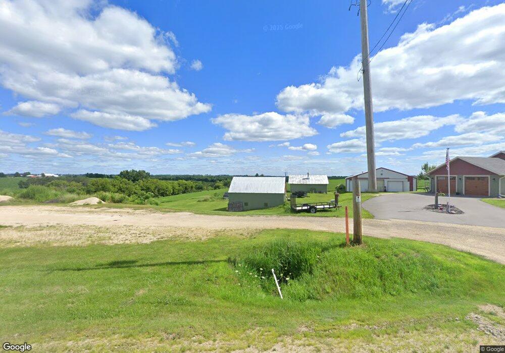
W2931 State Road 33 La Crosse, WI 54601
Estimated Value: $356,000 - $485,229
--
Bed
--
Bath
--
Sq Ft
1.97
Acres
About This Home
This home is located at W2931 State Road 33, La Crosse, WI 54601 and is currently estimated at $449,057. W2931 State Road 33 is a home located in La Crosse County with nearby schools including West Salem Elementary School, West Salem Middle School, and West Salem High School.
Ownership History
Date
Name
Owned For
Owner Type
Purchase Details
Closed on
Feb 23, 2023
Sold by
Brown Teresa M
Bought by
Certified Survey Map
Current Estimated Value
Purchase Details
Closed on
Sep 1, 2022
Sold by
Brown David J and Brown Teresa M
Bought by
Brown David J and Brown Teresa M
Purchase Details
Closed on
Aug 14, 2020
Sold by
Trinkes Marvin J
Bought by
Brown David
Purchase Details
Closed on
Mar 27, 2014
Sold by
Trinkes Henry
Bought by
Brown David
Purchase Details
Closed on
Nov 21, 2005
Sold by
Marvin J Trinkes Trust
Bought by
State Of Wisconsin and Department Of Transporation
Create a Home Valuation Report for This Property
The Home Valuation Report is an in-depth analysis detailing your home's value as well as a comparison with similar homes in the area
Home Values in the Area
Average Home Value in this Area
Purchase History
| Date | Buyer | Sale Price | Title Company |
|---|---|---|---|
| Certified Survey Map | -- | -- | |
| Brown David J | -- | None Listed On Document | |
| Brown David J | $52,300 | None Listed On Document | |
| Brown David J | -- | None Listed On Document | |
| Brown David | $45,600 | None Available | |
| Brown David | $47,700 | -- | |
| State Of Wisconsin | $9,000 | None Available |
Source: Public Records
Tax History Compared to Growth
Tax History
| Year | Tax Paid | Tax Assessment Tax Assessment Total Assessment is a certain percentage of the fair market value that is determined by local assessors to be the total taxable value of land and additions on the property. | Land | Improvement |
|---|---|---|---|---|
| 2024 | $5,782 | $356,600 | $39,300 | $317,300 |
| 2023 | $2,053 | $156,900 | $39,300 | $117,600 |
| 2022 | $1,914 | $156,900 | $39,300 | $117,600 |
| 2021 | $1,876 | $156,900 | $39,300 | $117,600 |
| 2020 | $2,514 | $136,600 | $32,300 | $104,300 |
| 2019 | $2,285 | $136,600 | $32,300 | $104,300 |
| 2018 | $2,178 | $136,600 | $32,300 | $104,300 |
| 2017 | $2,070 | $136,600 | $32,300 | $104,300 |
| 2016 | $2,385 | $136,600 | $32,300 | $104,300 |
| 2015 | $2,244 | $136,600 | $32,300 | $104,300 |
| 2014 | $2,161 | $136,600 | $32,300 | $104,300 |
| 2013 | $2,332 | $136,600 | $32,300 | $104,300 |
Source: Public Records
Map
Nearby Homes
- W2649 Wisconsin 33
- W2658 Wisconsin 33
- N1583 Meadow Ridge Rd
- W4051 Twin Creeks Rd
- N1947 Forest Ridge Dr
- N1175 Breidel Coulee Rd
- 0000 County Road M
- W4861 Harvest Ln
- N2031 County Road F -
- W4936 Battlestone Station Rd
- W4946 Battlestone Station Rd Unit 23
- W4952 Battlestone Station Rd Unit 25
- W4934 Mill St
- W4945 Harvest Ln
- N1394 Red Oaks Dr
- 000 Us Highway 14 61 -
- W808 Wisconsin 33
- N1110 Bloomer Mill Rd
- 0000 Korthals Ln
- 215 Central Ave
- W2984 State Road 33
- W2898 State Road 33
- N1535 Schwartz Rd
- W2842 State Road 33
- W3035 State Road 33
- N1705 County Road M
- N1699 County Road M
- N1685 County Road M
- W2809 Birch Ln
- W2786 Schams Ave
- W2805 Birch Ln
- W2776 Schams Ave
- W2799 Birch Ln
- W2768 Schams Ave
- W2791 Birch Ln
- W2769 Sherry Ln
- W2764 Schams Ave
- W2776 State Road 33
- W2785 Birch Ln
- N1796 Tyler Ln