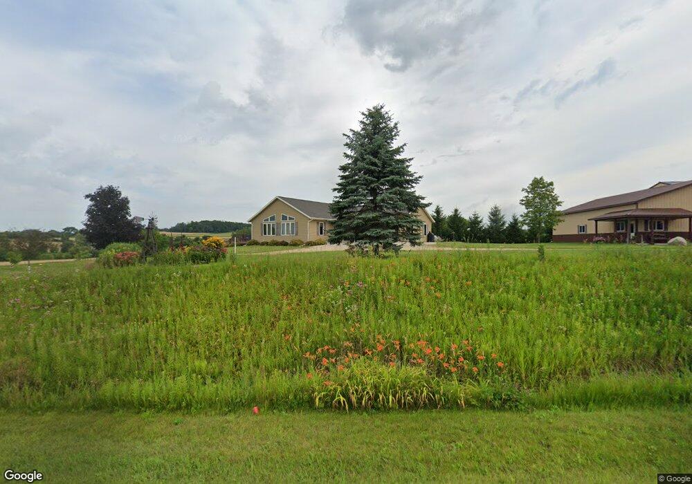
W2964 W Neda Rd Iron Ridge, WI 53035
Estimated Value: $304,000 - $416,000
--
Bed
--
Bath
--
Sq Ft
1.48
Acres
About This Home
This home is located at W2964 W Neda Rd, Iron Ridge, WI 53035 and is currently estimated at $371,992. W2964 W Neda Rd is a home located in Dodge County with nearby schools including Parkview Elementary School, Mayville Elementary School, and Mayville Junior/Senior High School.
Ownership History
Date
Name
Owned For
Owner Type
Purchase Details
Closed on
Jul 20, 2021
Sold by
Pankow David M and Pankow Shirley A
Bought by
Pankow David M and Pankow Shirley A
Current Estimated Value
Purchase Details
Closed on
Oct 12, 2009
Sold by
Pankow Melvin H and Pankow Elenaore B
Bought by
Pankow David M
Home Financials for this Owner
Home Financials are based on the most recent Mortgage that was taken out on this home.
Original Mortgage
$160,950
Outstanding Balance
$107,956
Interest Rate
5.62%
Mortgage Type
Adjustable Rate Mortgage/ARM
Estimated Equity
$264,036
Create a Home Valuation Report for This Property
The Home Valuation Report is an in-depth analysis detailing your home's value as well as a comparison with similar homes in the area
Home Values in the Area
Average Home Value in this Area
Purchase History
| Date | Buyer | Sale Price | Title Company |
|---|---|---|---|
| Pankow David M | -- | None Available | |
| Pankow David M | -- | None Available |
Source: Public Records
Mortgage History
| Date | Status | Borrower | Loan Amount |
|---|---|---|---|
| Open | Pankow David M | $160,950 |
Source: Public Records
Tax History Compared to Growth
Tax History
| Year | Tax Paid | Tax Assessment Tax Assessment Total Assessment is a certain percentage of the fair market value that is determined by local assessors to be the total taxable value of land and additions on the property. | Land | Improvement |
|---|---|---|---|---|
| 2024 | $3,544 | $207,500 | $46,500 | $161,000 |
| 2023 | $3,159 | $207,500 | $46,500 | $161,000 |
| 2022 | $3,033 | $207,500 | $46,500 | $161,000 |
| 2021 | $3,288 | $207,500 | $46,500 | $161,000 |
| 2020 | $3,211 | $207,500 | $46,500 | $161,000 |
| 2019 | $3,126 | $207,500 | $46,500 | $161,000 |
| 2018 | $3,117 | $207,500 | $46,500 | $161,000 |
| 2017 | $3,385 | $207,500 | $46,500 | $161,000 |
| 2016 | $2,960 | $207,500 | $46,500 | $161,000 |
| 2015 | $3,250 | $207,500 | $46,500 | $161,000 |
| 2014 | $3,177 | $207,500 | $46,500 | $161,000 |
Source: Public Records
Map
Nearby Homes
- Lt0 E Neda Rd
- 202 East Ave
- 234 Watertower Cir
- 0 Burkwald Ave
- N5413 County Rd S
- N6436 County Road Tw
- W4069 Raasch Hill Rd
- 300 Birchcrest Rd
- N4973 Lake Dr
- 725 Green Bay Dr
- Lt1 Hi View Ct
- Lt1 W Horseshoe Rd
- 502 Janssen Ave
- 401 N Hubbard St
- 101 Valley St
- 402 E Maple St
- 406 N Hubbard St
- Lt2 S Clark St
- 274 S Walnut St
- N4569 Hazelwood Rd
- W2975 W Neda Rd
- N6369 State Road 67
- N6267 State Road 67
- N6629 N Cedar Rd
- N6266 State Road 67
- W3108 W Neda Rd
- W2863 W Neda Rd
- N6173 State Road 67
- W2844 W Neda Rd
- N6439 State Road 67
- W2839 W Neda Rd
- W2833 W Neda Rd
- W3151 W Neda Rd
- W2830 W Neda Rd
- W3140 W Neda Rd
- W2827 W Neda Rd
- W2822 W Neda Rd
- W2823 W Neda Rd
- N6319 Mine Rd
- N6323 Mine Rd