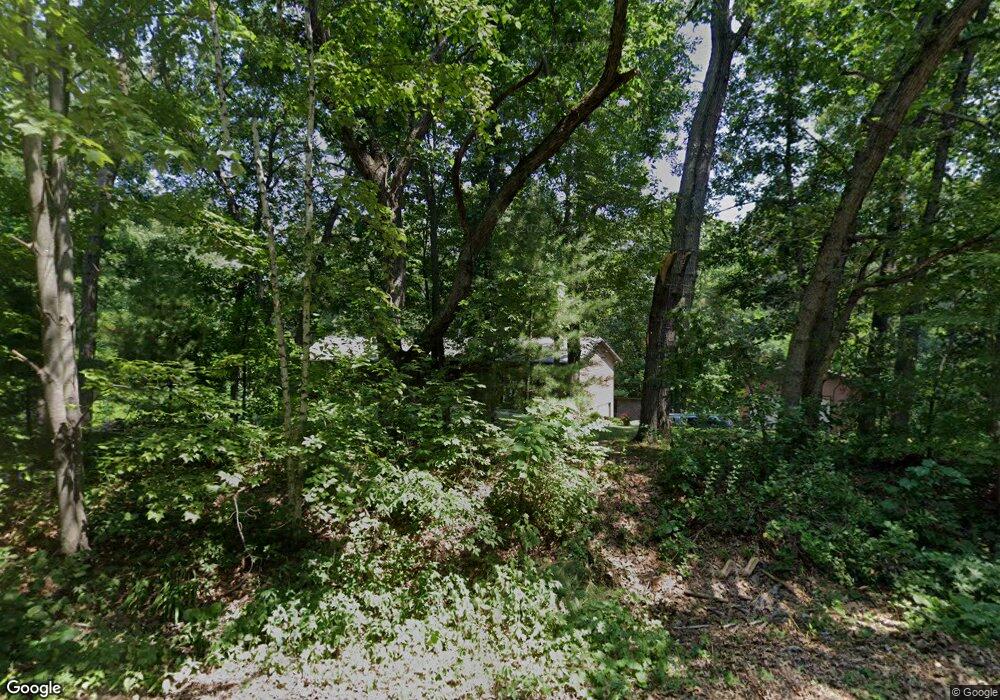
W2965 Rim Rock Rd Eau Claire, WI 54701
Estimated Value: $470,000 - $506,000
3
Beds
3
Baths
2,509
Sq Ft
$194/Sq Ft
Est. Value
About This Home
This home is located at W2965 Rim Rock Rd, Eau Claire, WI 54701 and is currently estimated at $485,667, approximately $193 per square foot. W2965 Rim Rock Rd is a home located in Eau Claire County with nearby schools including Putnam Heights Elementary School, Delong Middle School, and Memorial High School.
Ownership History
Date
Name
Owned For
Owner Type
Purchase Details
Closed on
Aug 23, 2011
Sold by
Balts Corey D and Balts Bridget C
Bought by
Long Lars C and Long Melinda J
Current Estimated Value
Home Financials for this Owner
Home Financials are based on the most recent Mortgage that was taken out on this home.
Original Mortgage
$185,000
Outstanding Balance
$127,972
Interest Rate
4.55%
Mortgage Type
New Conventional
Estimated Equity
$357,695
Purchase Details
Closed on
Feb 21, 2006
Sold by
Bixler Mcihel E and Bixler Pennie L
Bought by
Balts Corey D and Dohms Bridget C
Home Financials for this Owner
Home Financials are based on the most recent Mortgage that was taken out on this home.
Original Mortgage
$203,965
Interest Rate
6.2%
Mortgage Type
New Conventional
Create a Home Valuation Report for This Property
The Home Valuation Report is an in-depth analysis detailing your home's value as well as a comparison with similar homes in the area
Home Values in the Area
Average Home Value in this Area
Purchase History
| Date | Buyer | Sale Price | Title Company |
|---|---|---|---|
| Long Lars C | $235,000 | None Available | |
| Balts Corey D | $214,700 | None Available |
Source: Public Records
Mortgage History
| Date | Status | Borrower | Loan Amount |
|---|---|---|---|
| Open | Long Lars C | $185,000 | |
| Previous Owner | Balts Corey D | $203,965 |
Source: Public Records
Tax History Compared to Growth
Tax History
| Year | Tax Paid | Tax Assessment Tax Assessment Total Assessment is a certain percentage of the fair market value that is determined by local assessors to be the total taxable value of land and additions on the property. | Land | Improvement |
|---|---|---|---|---|
| 2024 | $4,362 | $331,000 | $76,200 | $254,800 |
| 2023 | $3,947 | $331,000 | $76,200 | $254,800 |
| 2022 | $3,785 | $331,000 | $76,200 | $254,800 |
| 2021 | $3,853 | $331,000 | $76,200 | $254,800 |
| 2020 | $3,755 | $239,300 | $46,300 | $193,000 |
| 2019 | $3,555 | $239,300 | $46,300 | $193,000 |
| 2018 | $3,480 | $239,300 | $46,300 | $193,000 |
| 2017 | $3,838 | $239,300 | $46,300 | $193,000 |
| 2016 | $3,795 | $239,300 | $46,300 | $193,000 |
| 2014 | -- | $239,300 | $46,300 | $193,000 |
| 2013 | -- | $237,700 | $46,300 | $191,400 |
Source: Public Records
Map
Nearby Homes
- 4110 Jene Rd
- S7130 Olson Rd
- W3970 Mitchell Rd
- XXX
- Lot 3 Mertinke Landing
- 1.75 Acres Holum Rd
- 2.89 Acres Holum Rd
- 1250 Priory Rd
- 5105 County Road z
- Lot 53 Roma St
- 3867 Timber Creek Ct
- 1117 Willow Green Cir
- 3746 Crest Ridge Ct
- 1404 Silvermine Dr
- 960 Grover Rd
- Lot 18 Sicilia Dr
- Lot 11 Roma St
- Lot 3 Roma St
- Lot #1 Mathews Dr
- 347 Heather Rd
- W2910 Rim Rock Rd
- 2865 Rim Rock Rd
- W3024 Rim Rock Rd
- W2865 Rim Rock Rd
- W3051 Rim Rock Rd
- W3160 Rim Rock Rd
- W2775 Rim Rock Hills Rd
- W2775 Rim Rock Rd
- W3109 Rim Rock Rd
- W2820 Rim Rock Rd
- 3109 3109 Rim Rock-Road-
- W2790 Rim Rock Rd
- W2725 Rim Rock Rd
- W3240 Rim Rock Rd
- W3155 Rim Rock Rd
- W3169 Rim Rock Rd
- W3223 Rim Rock Rd
- W3223 Rim Rock Rd
- W3260 Rim Rock Rd
- W3260 Rim Rock Rd
