XXXX Neal Ave Watertown Township, MN 55328
--
Bed
--
Bath
--
Sq Ft
28.13
Acres
About This Home
This home is located at XXXX Neal Ave, Watertown Township, MN 55328. XXXX Neal Ave is a home located in Carver County with nearby schools including Watertown-Mayer Elementary School, Watertown-Mayer Middle School, and Watertown Mayer High School.
Ownership History
Date
Name
Owned For
Owner Type
Purchase Details
Closed on
Jun 9, 2021
Sold by
Harris Margherita Gale and Harris Revocab Margherita Gale
Bought by
Manolls Amanda and Manolls Tyler
Purchase Details
Closed on
Sep 12, 2012
Sold by
Harris Margherita Gale and Weeks Ralph E
Bought by
Harris Margherita Gale and The Margherita Gale Harris Revocable Tru
Purchase Details
Closed on
Dec 9, 2008
Sold by
Johnson Terrance D and Johnson Karilyn L
Bought by
Harris Margherita Gale
Purchase Details
Closed on
Nov 24, 2008
Sold by
Poul Patricia L
Bought by
Johnson Terrance D and Johnson Karlyn L
Create a Home Valuation Report for This Property
The Home Valuation Report is an in-depth analysis detailing your home's value as well as a comparison with similar homes in the area
Home Values in the Area
Average Home Value in this Area
Purchase History
| Date | Buyer | Sale Price | Title Company |
|---|---|---|---|
| Manolls Amanda | $370,000 | Trademark Title Services Inc | |
| Harris Margherita Gale | -- | None Available | |
| Harris Margherita Gale | $444,473 | -- | |
| Johnson Terrance D | $85,000 | -- | |
| Manolis Amanda Amanda | $370,000 | -- |
Source: Public Records
Tax History Compared to Growth
Tax History
| Year | Tax Paid | Tax Assessment Tax Assessment Total Assessment is a certain percentage of the fair market value that is determined by local assessors to be the total taxable value of land and additions on the property. | Land | Improvement |
|---|---|---|---|---|
| 2025 | $2,984 | $573,500 | $573,500 | $0 |
| 2024 | $2,592 | $543,200 | $543,200 | $0 |
| 2023 | $2,568 | $476,100 | $476,100 | $0 |
| 2022 | $2,988 | $468,900 | $468,900 | $0 |
| 2021 | $3,172 | $439,000 | $439,000 | $0 |
| 2020 | $3,210 | $439,000 | $439,000 | $0 |
| 2019 | $3,446 | $427,000 | $427,000 | $0 |
| 2018 | $3,676 | $427,000 | $427,000 | $0 |
| 2017 | $4,410 | $427,000 | $427,000 | $0 |
| 2016 | $4,486 | $427,000 | $0 | $0 |
| 2015 | $4,698 | $427,000 | $0 | $0 |
| 2014 | $4,698 | $416,700 | $0 | $0 |
Source: Public Records
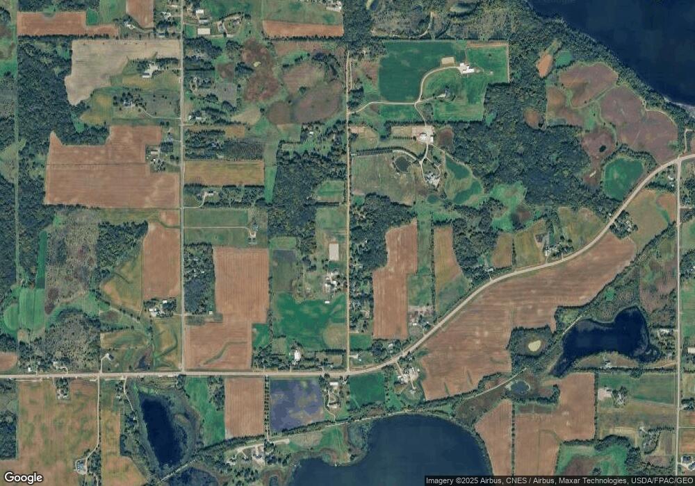
Map
Nearby Homes
- 1630 Oxford Ave
- 11540 Eckert Ave SE
- 2325 Kristi Ln
- 4146 115th St SE
- 600 Paul Ave
- 990 Bur Oak Ln
- 823 Poplar Ln
- 570 Linden Ct
- 545 Linden Ct
- 1286 Balsam Ln
- 648 Hawthorne Ln
- 678 Hawthorne Ln
- The Calhoun Plan at Forest Hills
- The Rockwell Plan at Forest Hills
- The Stratford Plan at Forest Hills
- The Springfield Plan at Forest Hills
- The Wentworth Plan at Forest Hills
- The Arlington Plan at Forest Hills
- The Linden II Plan at Forest Hills
- The Meadow Plan at Forest Hills
- 1885 Neal Ave
- 1780 Neal Ave
- 1955 Neal Ave
- 1825 Neal Ave
- 1740 Neal Ave
- 1980 Neal Ave
- 1985 Neal Ave
- 2025 Neal Ave
- 1845 Oxford Ave
- 1845 Oxford Ave
- 1650 Neal Ave
- 2075 Neal Ave
- 10950 County Road 20
- 10560 County Road 20
- xxx Oxford Ave
- 1675 Neal Ave
- 2165 Neal Ave
- XXXX Cr 20
- 10950 County Road 20
- 10950 County Road 20