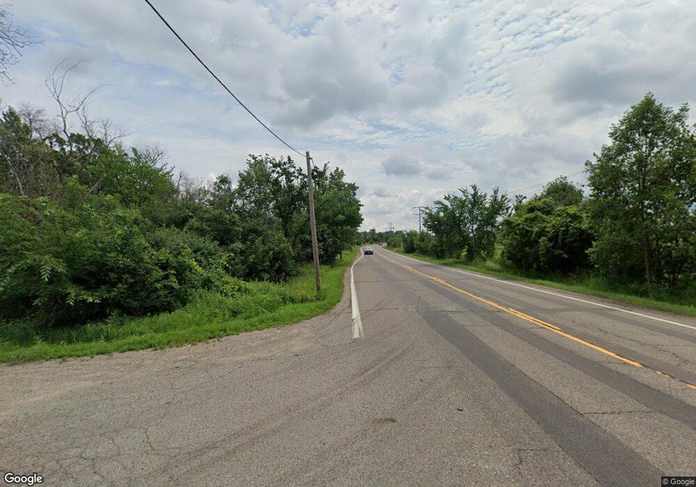
XXXXX Brockton Ln Rogers, MN 55374
Estimated Value: $113,145 - $490,000
--
Bed
--
Bath
--
Sq Ft
0.78
Acres
About This Home
This home is located at XXXXX Brockton Ln, Rogers, MN 55374 and is currently estimated at $336,036. XXXXX Brockton Ln is a home located in Hennepin County with nearby schools including Hassan Elementary School, Rogers Middle School, and Rogers Senior High School.
Ownership History
Date
Name
Owned For
Owner Type
Purchase Details
Closed on
Jul 21, 2021
Sold by
Lyngstad Lisa M and Stevens Lisa Monica
Bought by
Stevens Lisa Monica and Lyngstad Lisa M
Current Estimated Value
Purchase Details
Closed on
Dec 18, 2020
Sold by
State Of Minnesota
Bought by
Crosby Steven J and Crosby Lisa M
Purchase Details
Closed on
Apr 29, 2011
Sold by
State Of Man
Bought by
Crosby Steven J and Crosby Lisa M
Purchase Details
Closed on
May 7, 2003
Sold by
State Of Minnesota
Bought by
Oman Zev
Create a Home Valuation Report for This Property
The Home Valuation Report is an in-depth analysis detailing your home's value as well as a comparison with similar homes in the area
Home Values in the Area
Average Home Value in this Area
Purchase History
| Date | Buyer | Sale Price | Title Company |
|---|---|---|---|
| Stevens Lisa Monica | -- | None Listed On Document | |
| Crosby Steven J | $20,000 | None Available | |
| Crosby Steven J | $20,000 | -- | |
| Oman Zev | $60,000 | -- |
Source: Public Records
Mortgage History
| Date | Status | Borrower | Loan Amount |
|---|---|---|---|
| Closed | Oman Zev | -- | |
| Closed | Crosby Steven J | $0 |
Source: Public Records
Tax History Compared to Growth
Tax History
| Year | Tax Paid | Tax Assessment Tax Assessment Total Assessment is a certain percentage of the fair market value that is determined by local assessors to be the total taxable value of land and additions on the property. | Land | Improvement |
|---|---|---|---|---|
| 2024 | $402 | $25,200 | $25,200 | -- |
| 2023 | $363 | $24,000 | $24,000 | $0 |
| 2022 | $268 | $24,000 | $24,000 | $0 |
| 2021 | $269 | $16,000 | $16,000 | $0 |
| 2020 | $320 | $16,000 | $16,000 | $0 |
| 2019 | $284 | $18,000 | $18,000 | $0 |
| 2018 | $296 | $17,000 | $17,000 | $0 |
| 2017 | $321 | $18,000 | $18,000 | $0 |
| 2016 | $293 | $16,000 | $16,000 | $0 |
| 2015 | $306 | $16,000 | $16,000 | $0 |
| 2014 | -- | $16,000 | $16,000 | $0 |
Source: Public Records
Map
Nearby Homes
- 5201 Ramier Ave NE
- 14325 Brockton Ln
- 17760 54th St NE
- 19700 Pembrook Cir
- Clearwater Plan at River Pointe - The Meadows of River Pointe
- Lewis Plan at River Pointe - The Meadows of River Pointe
- Bristol Plan at River Pointe - The Meadows of River Pointe
- Sinclair Plan at River Pointe - The Meadows of River Pointe
- Springfield Plan at River Pointe - The Meadows of River Pointe
- Vanderbilt Plan at River Pointe - The Meadows of River Pointe
- 14520 Edgewood Rd
- 17696 59th St NE
- 17552 57th St NE
- 5998 Rathbun Ave NE
- 5945 Ranger Ave NE
- The Foster Plan at Anna's Acres
- The Water Stone Plan at Anna's Acres
- The Mulbery Plan at Anna's Acres
- The Rockport Plan at Anna's Acres
- The Newport Plan at Anna's Acres
- 14920 Crow River Dr
- 19080 Pine St
- 14910 Crow River Dr
- 14860 Brockton Ln N
- 14930 Crow River Dr
- 14915 Crow River Dr
- 14855 Brockton Ln
- 14925 Crow River Dr
- 14905 Crow River Dr
- 14935 Crow River Dr
- 14870 Brockton Ln N
- 14845 Brockton Ln
- 15010 Crow River Dr
- 14855 Crow River Dr
- 14850 Crow River Dr
- 14945 Crow River Dr
- 14850 Brockton Ln
- 14845 Crow River Dr
- 15050 Crow River Dr
- 14835 Brockton Ln
