0 Arthur Needham Rd Pilot Mountain, NC 27041
Estimated Value: $98,000
Studio
--
Bath
800
Sq Ft
$122/Sq Ft
Est. Value
About This Home
This home is located at 0 Arthur Needham Rd, Pilot Mountain, NC 27041 and is currently priced at $98,000, approximately $122 per square foot. 0 Arthur Needham Rd is a home located in Surry County with nearby schools including Pilot Mountain Elementary School, Pilot Mountain Middle School, and East Surry High School.
Ownership History
Date
Name
Owned For
Owner Type
Purchase Details
Closed on
Feb 16, 2016
Sold by
The Briarlea Company Llc
Bought by
Marion Johnny and Marion Donna
Current Estimated Value
Purchase Details
Closed on
Nov 8, 2007
Sold by
Grossnickle Victoria L
Bought by
Grossnickle Victoria L and The Briarlea Company Llc
Purchase Details
Closed on
Apr 13, 2007
Sold by
Boles Wesley Jason and Boles Cindy Smith
Bought by
Grossnickle Victoria L
Purchase Details
Closed on
Jan 1, 2002
Purchase Details
Closed on
Aug 1, 1990
Purchase Details
Closed on
Nov 1, 1987
Create a Home Valuation Report for This Property
The Home Valuation Report is an in-depth analysis detailing your home's value as well as a comparison with similar homes in the area
Purchase History
| Date | Buyer | Sale Price | Title Company |
|---|---|---|---|
| Marion Johnny | $70,000 | None Available | |
| Grossnickle Victoria L | -- | None Available | |
| Grossnickle Victoria L | $45,000 | None Available | |
| -- | $73,000 | -- | |
| -- | $25,000 | -- | |
| -- | -- | -- |
Source: Public Records
Tax History
| Year | Tax Paid | Tax Assessment Tax Assessment Total Assessment is a certain percentage of the fair market value that is determined by local assessors to be the total taxable value of land and additions on the property. | Land | Improvement |
|---|---|---|---|---|
| 2025 | $809 | $137,880 | $94,750 | $43,130 |
| 2024 | $827 | $133,590 | $89,540 | $44,050 |
| 2023 | $377 | $62,060 | $56,410 | $5,650 |
| 2022 | $377 | $62,060 | $56,410 | $5,650 |
| 2021 | $384 | $62,060 | $56,410 | $5,650 |
| 2020 | $360 | $55,610 | $49,850 | $5,760 |
| 2019 | $360 | $55,610 | $49,850 | $5,760 |
| 2018 | $359 | $55,610 | $0 | $0 |
| 2017 | $360 | $55,610 | $0 | $0 |
| 2016 | $323 | $49,850 | $0 | $0 |
| 2013 | -- | $47,230 | $0 | $0 |
Source: Public Records
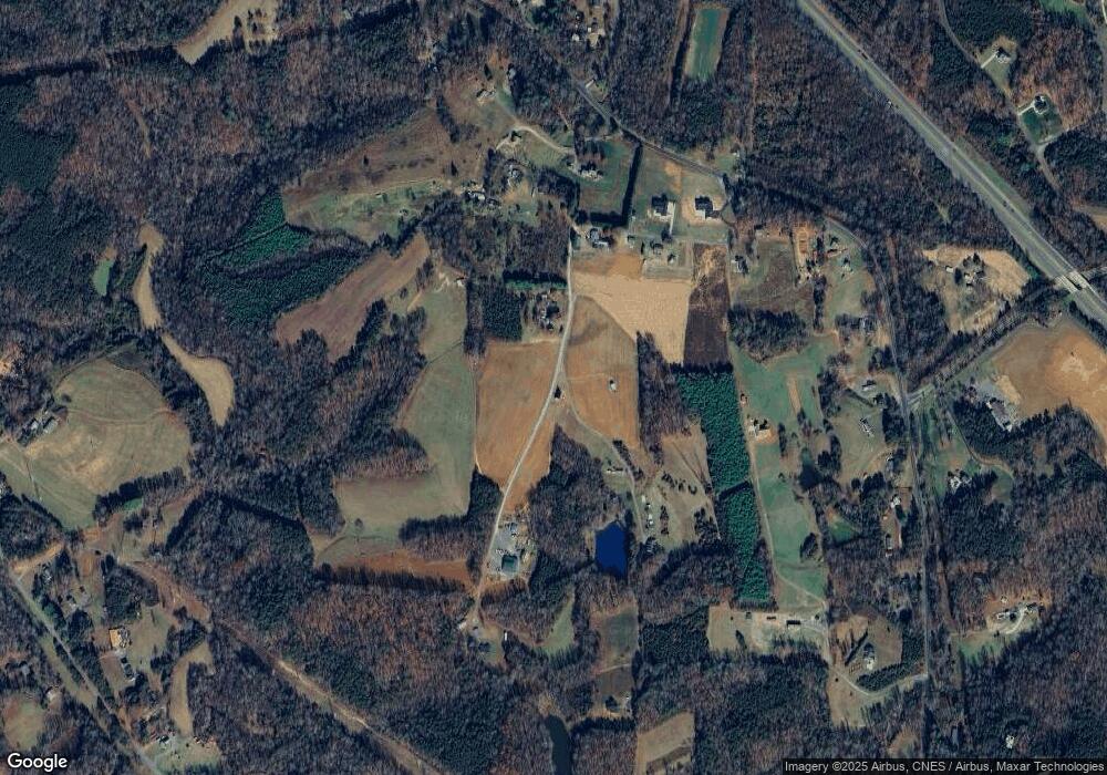
Map
Nearby Homes
- 138 Arthur Needham Rd
- TBD Marbury Trail
- 1319 S Old Us Highway 52
- Lot 5 Morosko Ln
- Lot 6 Morosko Ln
- 143 Jenny Ln
- 166 Springfield Rd
- 0 Wilkes Ln
- 6190 Alleghany Ln
- 9076 Alleghany Ln
- 2109 Cook School Rd
- 1096-1238 Cook School Rd Unit 97+/- AC Tract
- 231 Cp Riddle Trail
- 228 Kermit Lewis Rd
- xx Gilley Rd Unit 20.63 acres
- 446 Gilley Rd
- 000 Holly Springs Rd
- TBD Holly Springs Rd
- 100-186 Jessup Grove Church Rd Unit 3.9 +/- AC tract
- 310 Jessup Grove Church Rd
- 109 Glenn Way
- 205 Arthur Needham Rd
- 9.73 Ac Arthur Needham Rd
- 173 Arthur Needham Rd
- 326 Whisper Trail
- 130 Sugg Farm Ln
- 170 Arthur Needham Rd
- TBD Whisper Trail
- 2.68 Ac S Old Us Highway 52
- 137 Arthur Needham Rd
- 5.6 Ac S Old Us Highway 52
- 2.92 Ac S Old Us Highway 52
- 450 Arthur Needham Rd
- 122 Double H Farm Ln
- 1764 Old Us 52 S
- 1780 Old Us 52 S
- 139 Armstrong Rd
- 239 Whisper Trail
- 2.51 Whisper Trail
- 153 Armstrong Rd
Your Personal Tour Guide
Ask me questions while you tour the home.