
Seller's Agent in 2026
Chris Corroon
Mirr Ranch Group, LLC
(435) 654-4874
76 Total Sales
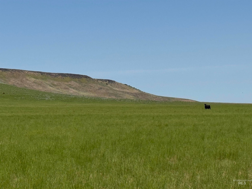
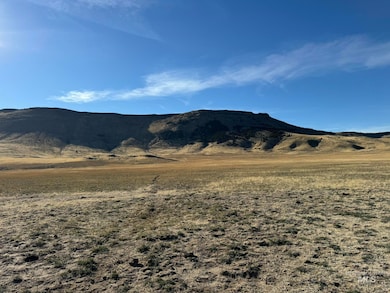

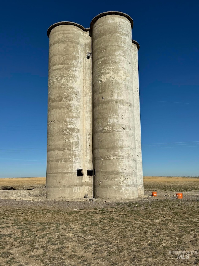
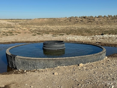
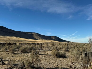
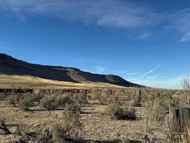
The Cotterel grazing tract runs north to southeast along the base of the Cotterel Mountains and is conveniently accessed from Highway 81 and minutes from Interstate 84. This spectacular pasture is fully fenced and cross-fenced with 2 wells & stock watering infrastructure servicing the bulk of the property. A majority of the property abuts BLM and State land to the west. A majority of the 2,756 acres sits at about 4,500 feet in elevation and is relatively flat. The western boundary of the property runs up the side of the Cotterel mountain range to elevations just over 5,000 feet. A 2-track road runs from the northern end to the southern end of the property and is adjacent to an underground pipeline that services a series of stock tanks in 5 fenced pastures.
Last Agent to Sell the Property
Mirr Ranch Group, LLC Brokerage Phone: 303-623-4545 Listed on: 09/05/2025
Last Buyer's Agent
Mirr Ranch Group, LLC Brokerage Phone: 303-623-4545 Listed on: 09/05/2025
| Date | Event | Price | List to Sale | Price per Sq Ft |
|---|---|---|---|---|
| 02/18/2026 02/18/26 | Sold | -- | -- | -- |
| 10/11/2025 10/11/25 | Pending | -- | -- | -- |
| 09/05/2025 09/05/25 | For Sale | $3,900,000 | -- | -- |
Seller's Agent in 2026
Chris Corroon
Mirr Ranch Group, LLC
(435) 654-4874
76 Total Sales
Source: Intermountain MLS
MLS Number: 98960822
Disclaimer: Certain information contained herein is derived from information provided by parties other than Homes.com. All information provided is deemed reliable, but is not guaranteed to be accurate and should be independently verified.
![]() IDX information is provided exclusively for consumers’ personal, non-commercial use, that it may not be used for any purpose other than to identify prospective properties consumers may be interested in purchasing. IMLS does not assume any liability for missing or inaccurate data.
IDX information is provided exclusively for consumers’ personal, non-commercial use, that it may not be used for any purpose other than to identify prospective properties consumers may be interested in purchasing. IMLS does not assume any liability for missing or inaccurate data.
Information provided by IMLS is deemed reliable but not guaranteed.
Ask me questions while you tour the home.