J
Seller's Agent in 2025
Johann Ulrich
Mountain Valley Real Estate
(530) 524-1975
108 Total Sales
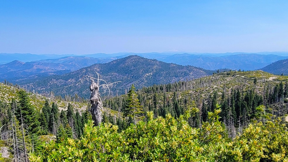

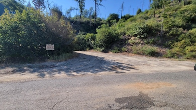
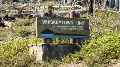
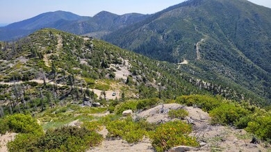

37.89 remote acres at a forested 4900 to 5450 feet elevation. There are stunning panoramic views of Mount Shasta, Mount Bally, and Shasta Bally. This is a sweet getaway place to recreate, target shoot, relax in a hammock, or build a cabin on. The road is in good condition and two wheel drive with high ground clearance should get you there in the summer. Part of the property is in Trinity County and the other part is in Shasta County. Whiskeytown Lake is just 9 miles as the Bald Eagle flies. The property is 10.5 miles on a seasonally maintained dirt road. It appears that part of the property burned in the 2018 CARR Fire.
My cell phone does work here. The property adjoins 155 acres of Crain Mills land and 632 acres of Sierra Pacific Timber Company land to the east and to the south. On driving to the property, you will be traversing over 13,000 acres of BLM or Bureau of Land Management land. In fact, this land is about 1,000 feet away from the property in a straight line.
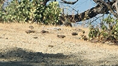
BLM land offers a wide range of recreational opportunities, including camping, hiking, hunting, fishing, and off-roading. Other activities include horseback riding, whitewater rafting, hang gliding, and more. Many BLM lands are free to access and use, with minimal regulations compared to national parks.
Last Agent to Sell the Property
Mountain Valley Real Estate License #01409743 Listed on: 07/18/2025
Last Buyer's Agent
Mountain Valley Real Estate License #01409743 Listed on: 07/18/2025
| Date | Event | Price | List to Sale | Price per Sq Ft |
|---|---|---|---|---|
| 12/23/2025 12/23/25 | Sold | $40,000 | -11.1% | -- |
| 11/01/2025 11/01/25 | Pending | -- | -- | -- |
| 10/05/2025 10/05/25 | Price Changed | $45,000 | -18.2% | -- |
| 07/18/2025 07/18/25 | For Sale | $55,000 | -- | -- |
J
Seller's Agent in 2025
Johann Ulrich
Mountain Valley Real Estate
(530) 524-1975
108 Total Sales
Source: Shasta Association of REALTORS®
MLS Number: 25-3263
Disclaimer: Certain information contained herein is derived from information provided by parties other than Homes.com. All information provided is deemed reliable, but is not guaranteed to be accurate and should be independently verified.
![]() IDX information is provided exclusively for personal, non-commercial use, and may not be used for any purpose other than to identify prospective properties consumers may be interested in purchasing. Information is deemed reliable but not guaranteed.
IDX information is provided exclusively for personal, non-commercial use, and may not be used for any purpose other than to identify prospective properties consumers may be interested in purchasing. Information is deemed reliable but not guaranteed.
Ask me questions while you tour the home.
