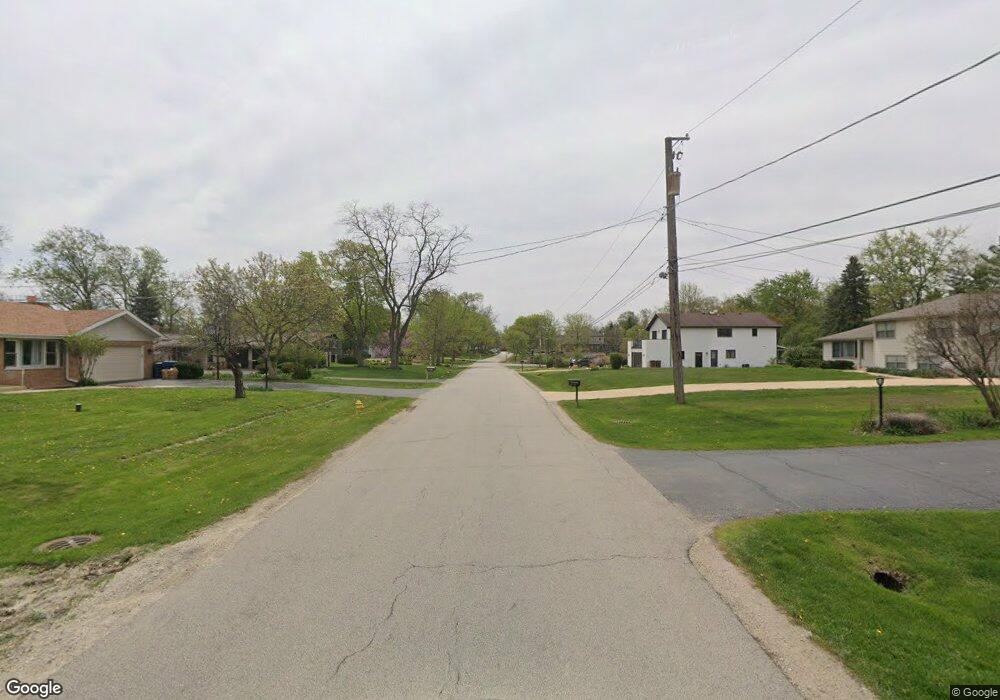
0N455 Herrick Dr Wheaton, IL 60187
Northside-Wheaton NeighborhoodEstimated Value: $459,000 - $539,000
Studio
--
Bath
1,992
Sq Ft
$250/Sq Ft
Est. Value
About This Home
This home is located at 0N455 Herrick Dr, Wheaton, IL 60187 and is currently estimated at $498,253, approximately $250 per square foot. 0N455 Herrick Dr is a home with nearby schools including Carl Sandburg Elementary School, Monroe Middle School, and Wheaton North High School.
Ownership History
Date
Name
Owned For
Owner Type
Purchase Details
Closed on
Feb 28, 2002
Sold by
Smith William L and Smith Raynee E L
Bought by
Milton Township
Current Estimated Value
Purchase Details
Closed on
Jul 25, 1997
Sold by
Colombini Alfred R and Colombini Dolores M
Bought by
Smith William Lynn and Smith Raynie E L
Home Financials for this Owner
Home Financials are based on the most recent Mortgage that was taken out on this home.
Original Mortgage
$165,000
Interest Rate
7.5%
Purchase Details
Closed on
Jan 16, 1996
Sold by
American National Bk & Tr Co Of Chicago
Bought by
Colombini Alfred R and Colombini Dolores M
Create a Home Valuation Report for This Property
The Home Valuation Report is an in-depth analysis detailing your home's value as well as a comparison with similar homes in the area
Home Values in the Area
Average Home Value in this Area
Purchase History
| Date | Buyer | Sale Price | Title Company |
|---|---|---|---|
| Milton Township | -- | -- | |
| Smith William Lynn | $225,000 | -- | |
| Colombini Alfred R | -- | -- |
Source: Public Records
Mortgage History
| Date | Status | Borrower | Loan Amount |
|---|---|---|---|
| Previous Owner | Smith William Lynn | $165,000 |
Source: Public Records
Tax History
| Year | Tax Paid | Tax Assessment Tax Assessment Total Assessment is a certain percentage of the fair market value that is determined by local assessors to be the total taxable value of land and additions on the property. | Land | Improvement |
|---|---|---|---|---|
| 2024 | $7,614 | $137,550 | $41,175 | $96,375 |
| 2023 | $7,240 | $126,610 | $37,900 | $88,710 |
| 2022 | $7,243 | $119,640 | $35,810 | $83,830 |
| 2021 | $6,988 | $116,800 | $34,960 | $81,840 |
| 2020 | $6,949 | $115,710 | $34,630 | $81,080 |
| 2019 | $6,762 | $112,660 | $33,720 | $78,940 |
| 2018 | $6,554 | $103,610 | $31,780 | $71,830 |
| 2017 | $6,444 | $99,790 | $30,610 | $69,180 |
| 2016 | $6,354 | $95,810 | $29,390 | $66,420 |
| 2015 | $6,305 | $91,410 | $28,040 | $63,370 |
| 2014 | $6,673 | $94,760 | $19,840 | $74,920 |
| 2013 | $6,468 | $95,040 | $19,900 | $75,140 |
Source: Public Records
Map
Nearby Homes
- 1561 N Gary Ave
- 1327 Shagbark Ln
- 1037 Wheaton Oaks Dr
- 933 Wheaton Oaks Dr
- 26W181 Grand Ave
- 1310 N Carlton Ave
- 26W237 Parkway Dr
- N405 Gary Ave
- 1N049 Mission Ct
- 1N118 Mission Ct
- 0 Ellis Ave
- 2018 N West St
- 524 Western Ave
- 0N112 Leonard St
- 26W524 Jewell Rd
- Lot 11 Ellis Ave
- 0N105 Lot 1 Nepil Ave
- 0N105 Lot 2 Nepil Ave
- 114 W Prairie Ave
- 606 W Franklin St
- 0N485 Herrick Dr
- 0N461 Herrick Dr
- 0N487 Herrick Dr
- 0N421 Herrick Dr
- 0N438 Herrick Dr
- 0N327 Herrick Dr
- 0N452 Herrick Dr
- 0N466 Herrick Dr
- 0N511 Herrick Dr
- 0N409 Herrick Dr
- 25W664 Armbrust Ave
- 0N500 Herrick Dr
- 1250 W Thomas Rd
- 0N515 Herrick Dr
- 1240 W Thomas Rd
- 25W674 Armbrust Ave
- 0N510 Herrick Dr
- 1230 W Thomas Rd
- 0N371 Herrick Dr
- N527 Herrick Dr
Your Personal Tour Guide
Ask me questions while you tour the home.