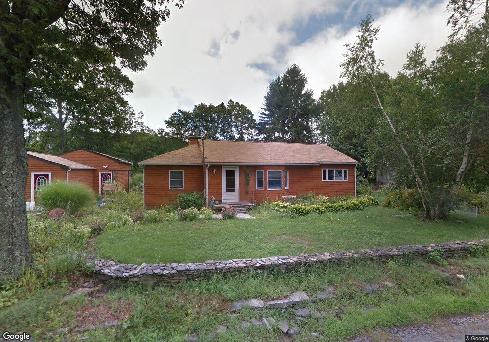
1 Abalone Rd Saunderstown, RI 02874
Saunderstown NeighborhoodEstimated Value: $578,000 - $714,000
3
Beds
1
Bath
1,432
Sq Ft
$436/Sq Ft
Est. Value
About This Home
This home is located at 1 Abalone Rd, Saunderstown, RI 02874 and is currently estimated at $624,404, approximately $436 per square foot. 1 Abalone Rd is a home located in Washington County with nearby schools including Hamilton Elementary School, Wickford Middle School, and North Kingstown Sr. High School.
Ownership History
Date
Name
Owned For
Owner Type
Purchase Details
Closed on
Aug 4, 1995
Sold by
Gladding Joseph and Gladding Debra
Bought by
Blais Diane
Current Estimated Value
Purchase Details
Closed on
Jan 24, 1990
Sold by
Johnson Gladys
Bought by
Gladding Joseph
Create a Home Valuation Report for This Property
The Home Valuation Report is an in-depth analysis detailing your home's value as well as a comparison with similar homes in the area
Home Values in the Area
Average Home Value in this Area
Purchase History
| Date | Buyer | Sale Price | Title Company |
|---|---|---|---|
| Blais Diane | $106,000 | -- | |
| Gladding Joseph | $108,000 | -- | |
| Blais Diane | $106,000 | -- | |
| Gladding Joseph | $108,000 | -- |
Source: Public Records
Mortgage History
| Date | Status | Borrower | Loan Amount |
|---|---|---|---|
| Open | Gladding Joseph | $200,000 | |
| Closed | Gladding Joseph | $84,000 | |
| Closed | Gladding Joseph | $25,138 |
Source: Public Records
Tax History
| Year | Tax Paid | Tax Assessment Tax Assessment Total Assessment is a certain percentage of the fair market value that is determined by local assessors to be the total taxable value of land and additions on the property. | Land | Improvement |
|---|---|---|---|---|
| 2025 | $5,699 | $516,200 | $290,900 | $225,300 |
| 2024 | $5,036 | $351,200 | $160,000 | $191,200 |
| 2023 | $5,036 | $351,200 | $160,000 | $191,200 |
| 2022 | $4,938 | $351,200 | $160,000 | $191,200 |
| 2021 | $4,575 | $261,400 | $108,400 | $153,000 |
| 2020 | $4,467 | $261,400 | $108,400 | $153,000 |
| 2019 | $4,467 | $261,400 | $108,400 | $153,000 |
| 2018 | $3,680 | $194,000 | $79,500 | $114,500 |
| 2017 | $3,606 | $194,000 | $79,500 | $114,500 |
| 2016 | $3,504 | $194,000 | $79,500 | $114,500 |
| 2015 | $3,339 | $173,000 | $79,500 | $93,500 |
| 2014 | $3,271 | $173,000 | $79,500 | $93,500 |
Source: Public Records
Map
Nearby Homes
- 40 Fleetwood Dr
- 16 Triton Dr
- 83 Oceanwoods Dr
- 70 Weaver Rd
- 24 Bayberry Dr
- 121 Seaside Dr
- 174 Seaside Dr
- 80 Spindrift St
- 9 Parsley Ln
- 65 Village Hill Ln
- 13 Starboard Ave
- 510 Boston Neck Rd
- 15 Black Alder Trail
- 63 Buoy St
- 344 Tower Hill Rd
- 429 Boston Neck Rd
- 49 Meadow Sweet Trail
- 11 Elm Dr
- 106 Pettaquamscutt Lake Rd
- 471 Annaquatucket Rd
- 11 Abalone Rd
- 25 Mollusk Dr
- 14 Mollusk Dr
- 15 Mollusk Dr
- 15 Calypso Dr
- 28 Periwinkle Dr
- 10 Mollusk Dr
- 22 Periwinkle Dr
- 9 Mollusk Dr
- 9 Calypso Dr
- 16 Periwinkle Dr
- 55 Plum Point Rd
- 0 Periwinkle Dr
- 30 Abalone Rd
- 10 Periwinkle Dr
- 35 Abalone Rd
- 41 Plum Point Rd
- 25 Periwinkle Dr
- 37 Plum Point Rd
- 6 Calypso Dr
Your Personal Tour Guide
Ask me questions while you tour the home.