1 Bluff Rd Florence, CO 81226
Estimated Value: $268,002 - $313,000
2
Beds
2
Baths
1,066
Sq Ft
$268/Sq Ft
Est. Value
About This Home
This home is located at 1 Bluff Rd, Florence, CO 81226 and is currently estimated at $285,501, approximately $267 per square foot. 1 Bluff Rd is a home located in Fremont County with nearby schools including Fremont Elementary School, Florence High School, and Florence Christian School.
Create a Home Valuation Report for This Property
The Home Valuation Report is an in-depth analysis detailing your home's value as well as a comparison with similar homes in the area
Tax History
| Year | Tax Paid | Tax Assessment Tax Assessment Total Assessment is a certain percentage of the fair market value that is determined by local assessors to be the total taxable value of land and additions on the property. | Land | Improvement |
|---|---|---|---|---|
| 2025 | $1,268 | $19,470 | -- | -- |
| 2024 | $1,268 | $16,537 | $0 | $0 |
| 2023 | $780 | $12,122 | $0 | $0 |
| 2022 | $766 | $12,048 | $0 | $0 |
| 2021 | $769 | $12,395 | $0 | $0 |
| 2020 | $579 | $11,211 | $0 | $0 |
| 2019 | $590 | $11,211 | $0 | $0 |
| 2018 | $164 | $3,159 | $0 | $0 |
| 2017 | $166 | $3,159 | $0 | $0 |
| 2016 | $166 | $3,160 | $0 | $0 |
| 2015 | $164 | $3,160 | $0 | $0 |
| 2012 | $181 | $3,159 | $3,159 | $0 |
Source: Public Records
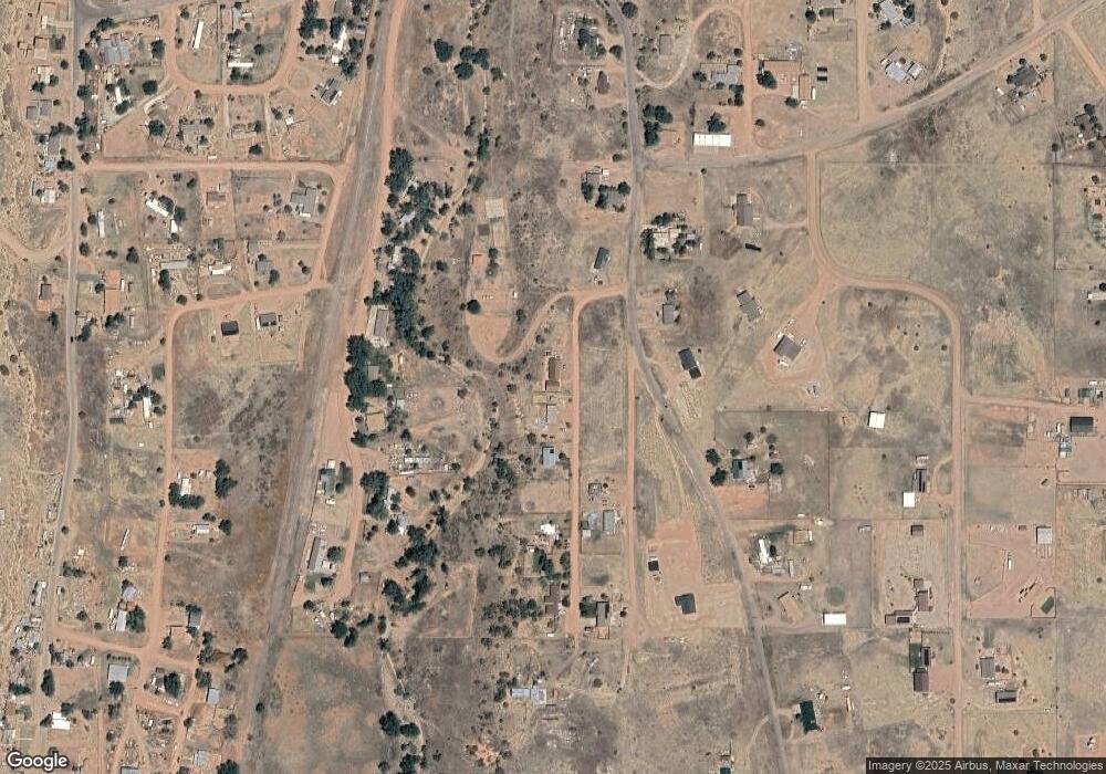
Map
Nearby Homes
- 4 Deklen Dr
- 15 Pikeview Ave
- 0 Quincy St Unit 70608
- 215 N Quail Ct
- 965 Kelly Ave
- 1020 Oak Creek St
- 1180 County Road 13a
- 187 High Meadows Dr
- 189 High Meadows Dr
- 202 High Meadows Dr
- 136 High Meadows Dr
- 184 High Meadows Dr
- 161 High Meadows Dr
- 163 High Meadows Dr
- 104 High Meadows Dr
- 249 High Meadows Dr
- 341 Kelsey Ct
- 339 W Third Ave
- 641 S 6th St
- 440 Twin Pines Ave
Your Personal Tour Guide
Ask me questions while you tour the home.