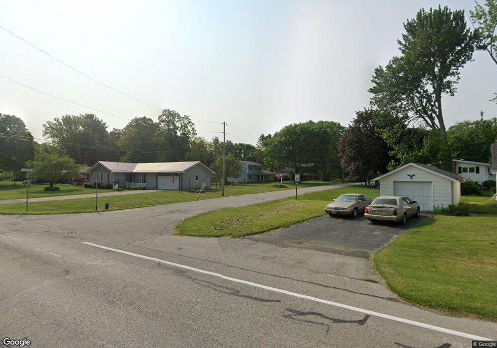
1 Brandon St Conneaut, OH 44030
Kingsville NeighborhoodEstimated Value: $241,197 - $299,000
4
Beds
3
Baths
1,586
Sq Ft
$168/Sq Ft
Est. Value
About This Home
This home is located at 1 Brandon St, Conneaut, OH 44030 and is currently estimated at $266,549, approximately $168 per square foot. 1 Brandon St is a home located in Ashtabula County with nearby schools including Lakeshore Primary Elementary School, Gateway Elementary School, and Conneaut Middle School.
Ownership History
Date
Name
Owned For
Owner Type
Purchase Details
Closed on
Oct 16, 2025
Sold by
Fields Kori and Howard Kori Deann
Bought by
Howard Tyler Scott
Current Estimated Value
Home Financials for this Owner
Home Financials are based on the most recent Mortgage that was taken out on this home.
Original Mortgage
$133,500
Outstanding Balance
$133,500
Interest Rate
6.35%
Mortgage Type
Credit Line Revolving
Estimated Equity
$133,049
Purchase Details
Closed on
Mar 29, 2018
Sold by
Howard Bradley S and Howard Suzan B
Bought by
Howard Tyler and Howard Kori
Home Financials for this Owner
Home Financials are based on the most recent Mortgage that was taken out on this home.
Original Mortgage
$92,000
Interest Rate
4.4%
Mortgage Type
New Conventional
Create a Home Valuation Report for This Property
The Home Valuation Report is an in-depth analysis detailing your home's value as well as a comparison with similar homes in the area
Home Values in the Area
Average Home Value in this Area
Purchase History
| Date | Buyer | Sale Price | Title Company |
|---|---|---|---|
| Howard Tyler Scott | -- | Title Professionals Group | |
| Howard Tyler | $115,000 | Chicago Title Agency |
Source: Public Records
Mortgage History
| Date | Status | Borrower | Loan Amount |
|---|---|---|---|
| Open | Howard Tyler Scott | $133,500 | |
| Previous Owner | Howard Tyler | $92,000 |
Source: Public Records
Tax History
| Year | Tax Paid | Tax Assessment Tax Assessment Total Assessment is a certain percentage of the fair market value that is determined by local assessors to be the total taxable value of land and additions on the property. | Land | Improvement |
|---|---|---|---|---|
| 2024 | $4,742 | $64,830 | $8,650 | $56,180 |
| 2023 | $3,004 | $64,830 | $8,650 | $56,180 |
| 2022 | $2,542 | $48,270 | $6,650 | $41,620 |
| 2021 | $2,586 | $48,270 | $6,650 | $41,620 |
| 2020 | $2,584 | $48,270 | $6,650 | $41,620 |
| 2019 | $2,329 | $42,710 | $5,710 | $37,000 |
| 2018 | $2,220 | $42,710 | $5,710 | $37,000 |
| 2017 | $1,108 | $42,710 | $5,710 | $37,000 |
| 2016 | $1,818 | $38,120 | $5,110 | $33,010 |
| 2015 | $1,836 | $38,120 | $5,110 | $33,010 |
| 2014 | $1,617 | $38,120 | $5,110 | $33,010 |
| 2013 | $1,525 | $36,970 | $3,330 | $33,640 |
Source: Public Records
Map
Nearby Homes
- 1381 Robb Rd
- 28 Lake Park Dr
- 284 W Main Rd
- 2663 Lake Rd
- 202 W Main Rd Unit 132
- 202 W Main Rd Unit 93
- 202 W Main Rd Unit 139
- 1145 Lake Rd
- 210 W Main Rd
- 587 Main St
- 4017 Lake Rd Unit 17
- 220 Daniels Ave
- 436 Keefus Rd
- 805 Main St Unit 807
- 238 Whitney St
- 600 Lakeview Ave
- 7296 Poore Rd
- 736 Lake Erie St
- 536 Madison St
- 522 Shackson St
Your Personal Tour Guide
Ask me questions while you tour the home.