Estimated Value: $973,000 - $1,210,000
4
Beds
3
Baths
2,631
Sq Ft
$419/Sq Ft
Est. Value
About This Home
This home is located at 1 Breezy Point Rd, Acton, MA 01720 and is currently estimated at $1,101,244, approximately $418 per square foot. 1 Breezy Point Rd is a home located in Middlesex County with nearby schools including Acton-Boxborough Regional High School and Oak Meadow Montessori School.
Ownership History
Date
Name
Owned For
Owner Type
Purchase Details
Closed on
Aug 11, 1995
Sold by
1 Breezy Point Rt and Ware Kirk
Bought by
Buxton Todd H and Buxton Shirley E
Current Estimated Value
Home Financials for this Owner
Home Financials are based on the most recent Mortgage that was taken out on this home.
Original Mortgage
$195,000
Interest Rate
7.48%
Mortgage Type
Purchase Money Mortgage
Create a Home Valuation Report for This Property
The Home Valuation Report is an in-depth analysis detailing your home's value as well as a comparison with similar homes in the area
Home Values in the Area
Average Home Value in this Area
Purchase History
| Date | Buyer | Sale Price | Title Company |
|---|---|---|---|
| Buxton Todd H | $255,000 | -- |
Source: Public Records
Mortgage History
| Date | Status | Borrower | Loan Amount |
|---|---|---|---|
| Closed | Buxton Todd H | $195,000 |
Source: Public Records
Tax History
| Year | Tax Paid | Tax Assessment Tax Assessment Total Assessment is a certain percentage of the fair market value that is determined by local assessors to be the total taxable value of land and additions on the property. | Land | Improvement |
|---|---|---|---|---|
| 2025 | $17,395 | $1,014,300 | $356,000 | $658,300 |
| 2024 | $16,210 | $972,400 | $356,000 | $616,400 |
| 2023 | $15,827 | $901,300 | $323,500 | $577,800 |
| 2022 | $15,436 | $793,600 | $281,300 | $512,300 |
| 2021 | $15,075 | $745,200 | $260,000 | $485,200 |
| 2020 | $14,207 | $738,400 | $260,000 | $478,400 |
| 2019 | $13,518 | $697,900 | $260,000 | $437,900 |
| 2018 | $13,459 | $694,500 | $260,000 | $434,500 |
| 2017 | $13,102 | $687,400 | $260,000 | $427,400 |
| 2016 | $12,811 | $666,200 | $260,000 | $406,200 |
| 2015 | $12,371 | $649,400 | $260,000 | $389,400 |
| 2014 | $12,141 | $624,200 | $260,000 | $364,200 |
Source: Public Records
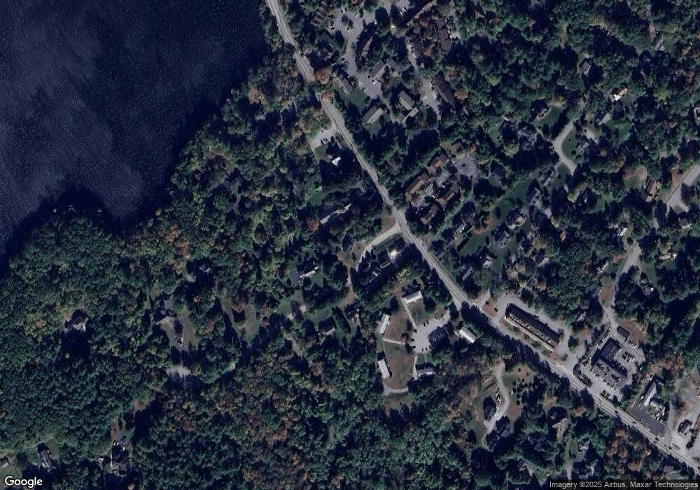
Map
Nearby Homes
- 4 Henley Rd
- 484 Great Road -3
- 232 Old Beaverbrook Unit 232
- 425 Great Elm Way Unit 425
- 491 Acorn Park Dr Unit 62
- 559 Great Elm Way Unit 559
- 557 Acorn Park Dr
- 17 Alexandra Way
- 21 Nashoba Rd
- 384 Great Rd Unit B102
- 17 Wyndcliff Dr
- 368 Great Rd Unit 4
- 3 Mcintosh Ln
- 12 Meyer Hill Dr
- 7 Wampus Ave Unit 15
- 18 Quail Run Unit 18
- 27 Hartland Way Unit 201
- 27 Hartland Way Unit 309
- 11 Davis Rd Unit B8
- 10 Long Ridge Rd
- 5 Beth Cir
- 3 Breezy Point Rd
- 7 Beth Cir
- 7 Beth Cir Unit 7
- 7 Beth Cir Unit 7,I
- 2 Breezy Point Rd
- 12 Beth Cir
- 6 Beth Cir
- 4 Beth Cir
- 1 Aspen Ln Unit A
- 498 Great Rd Unit B
- 498 Great Rd Unit A
- 498 Great Rd Unit A & B
- 498 Great Rd
- 498 Great Rd Unit 1
- 24 Beth Cir
- 22 Beth Cir
- 20 Beth Cir
- 14 Beth Cir
- 17 Beth Cir
Your Personal Tour Guide
Ask me questions while you tour the home.