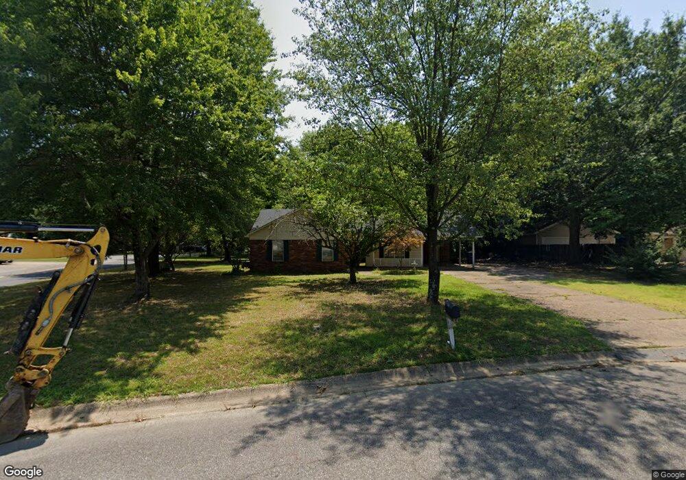
1 Cattail Rd Searcy, AR 72143
Estimated Value: $152,437 - $177,000
Studio
2
Baths
1,296
Sq Ft
$126/Sq Ft
Est. Value
About This Home
This home is located at 1 Cattail Rd, Searcy, AR 72143 and is currently estimated at $163,359, approximately $126 per square foot. 1 Cattail Rd is a home located in White County with nearby schools including Westside Elementary School, Southwest Middle School, and Ahlf Junior High School.
Ownership History
Date
Name
Owned For
Owner Type
Purchase Details
Closed on
May 2, 2002
Bought by
Roberts Bobby J and Roberts Tanja
Current Estimated Value
Purchase Details
Closed on
Oct 1, 1989
Bought by
Roberts Edna
Purchase Details
Closed on
Sep 1, 1989
Bought by
Hayes Danny and Hayes Barbara
Purchase Details
Closed on
Nov 1, 1986
Bought by
Devore Letain
Purchase Details
Closed on
Feb 1, 1984
Bought by
Howes Robert L and Howes Willene
Create a Home Valuation Report for This Property
The Home Valuation Report is an in-depth analysis detailing your home's value as well as a comparison with similar homes in the area
Purchase History
| Date | Buyer | Sale Price | Title Company |
|---|---|---|---|
| Roberts Bobby J | $44,000 | -- | |
| Roberts Edna | $52,000 | -- | |
| Hayes Danny | $10,000 | -- | |
| Devore Letain | $9,000 | -- | |
| Howes Robert L | -- | -- |
Source: Public Records
Tax History
| Year | Tax Paid | Tax Assessment Tax Assessment Total Assessment is a certain percentage of the fair market value that is determined by local assessors to be the total taxable value of land and additions on the property. | Land | Improvement |
|---|---|---|---|---|
| 2025 | $813 | $20,020 | $6,340 | $13,680 |
| 2024 | $813 | $20,020 | $6,340 | $13,680 |
| 2023 | $388 | $20,020 | $6,340 | $13,680 |
| 2022 | $438 | $20,020 | $6,340 | $13,680 |
| 2021 | $438 | $20,020 | $6,340 | $13,680 |
| 2020 | $576 | $23,420 | $9,600 | $13,820 |
| 2019 | $573 | $23,420 | $9,600 | $13,820 |
| 2018 | $558 | $23,420 | $9,600 | $13,820 |
| 2017 | $829 | $23,420 | $9,600 | $13,820 |
| 2016 | $829 | $20,430 | $9,600 | $10,830 |
| 2015 | $790 | $19,460 | $6,480 | $12,980 |
| 2014 | $790 | $19,460 | $6,480 | $12,980 |
Source: Public Records
Map
Nearby Homes
- 28 Stoneybrook Ln
- 0 Stoneybrook Ln
- 32 Stoneybrook Ln
- 42 Stoneybrook Ln
- 8 Robbye Ln
- 9 Pepper Tree Place
- 404 S Sawmill Rd
- 1903 W Arch Ave
- 514 S Sawmill Rd
- 25 Robbye Ln
- 120 Lambert Cir
- 19 Hartwell Place
- 102 N Sawmill Rd
- 126 Western Hills Dr
- 1806 W Arch Ave
- 130 Western Hills Dr
- 142 John Cyrus Dr
- 00-Lot C W Beebe Capps Expy
- 00-Lot A W Beebe Capps Expy
- 00-Lot B W Beebe Capps Expy
- 15 Stoneybrook Ln
- 4 Cattail Rd
- 5 Cattail Rd
- 18 Stoneybrook Ln
- 3 Foxboro Dr
- 6 Cattail Rd
- 1 Foxboro Dr
- 5 Foxboro Dr
- 7 Cattail Rd
- 17 Stoneybrook Ln
- 7 Foxboro Dr
- 16 Stoneybrook Ln Unit 16 Stoneybrook lane
- 8 Cattail Rd
- 3 Baker Dr
- 9 Foxboro Dr
- 9 Cattail Rd
- 28 Stoneybrook Ln Unit 28, 32, 34, 36, 42 S
- 108 Woodlane Dr
- 10 Cattail Rd
Your Personal Tour Guide
Ask me questions while you tour the home.