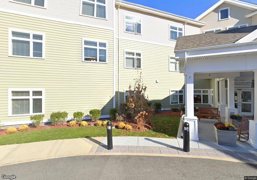
1 Cedar St Woburn, MA 01801
Walnut Hill NeighborhoodEstimated Value: $301,000 - $34,239,678
20
Beds
20
Baths
69,546
Sq Ft
$248/Sq Ft
Est. Value
About This Home
This home is located at 1 Cedar St, Woburn, MA 01801 and is currently estimated at $17,270,339, approximately $248 per square foot. 1 Cedar St is a home with nearby schools including Goodyear Elementary School, John F. Kennedy Middle School, and Woburn High School.
Ownership History
Date
Name
Owned For
Owner Type
Purchase Details
Closed on
Aug 23, 2019
Sold by
Bsl Woburn Development
Bought by
Kre Bsl Husky Woburn Llc
Current Estimated Value
Purchase Details
Closed on
May 18, 2015
Sold by
Lindqust Rt and Govostes
Bought by
Woburn Development Llc
Home Financials for this Owner
Home Financials are based on the most recent Mortgage that was taken out on this home.
Original Mortgage
$17,618,315
Interest Rate
3.69%
Mortgage Type
Purchase Money Mortgage
Create a Home Valuation Report for This Property
The Home Valuation Report is an in-depth analysis detailing your home's value as well as a comparison with similar homes in the area
Home Values in the Area
Average Home Value in this Area
Purchase History
| Date | Buyer | Sale Price | Title Company |
|---|---|---|---|
| Kre Bsl Husky Woburn Llc | $22,590,000 | -- | |
| Woburn Development Llc | $3,400,000 | -- |
Source: Public Records
Mortgage History
| Date | Status | Borrower | Loan Amount |
|---|---|---|---|
| Previous Owner | Woburn Development Llc | $17,618,315 |
Source: Public Records
Tax History
| Year | Tax Paid | Tax Assessment Tax Assessment Total Assessment is a certain percentage of the fair market value that is determined by local assessors to be the total taxable value of land and additions on the property. | Land | Improvement |
|---|---|---|---|---|
| 2025 | $116,951 | $13,694,500 | $2,740,500 | $10,954,000 |
| 2024 | $110,378 | $13,694,500 | $2,740,500 | $10,954,000 |
| 2023 | $119,142 | $13,694,500 | $2,740,500 | $10,954,000 |
| 2022 | $127,907 | $13,694,500 | $2,740,500 | $10,954,000 |
| 2021 | $146,733 | $15,727,000 | $2,740,500 | $12,986,500 |
| 2020 | $146,576 | $15,727,000 | $2,740,500 | $12,986,500 |
| 2019 | $118,404 | $12,463,600 | $2,740,500 | $9,723,100 |
| 2018 | $119,411 | $12,073,900 | $2,740,500 | $9,333,400 |
| 2017 | $161,695 | $16,267,100 | $2,610,000 | $13,657,100 |
| 2016 | $7,775 | $773,600 | $770,000 | $3,600 |
| 2015 | $7,488 | $736,300 | $736,300 | $0 |
Source: Public Records
Map
Nearby Homes
- 9 Olympia Ave
- 18 Montvale Rd
- 16 Felton St
- 18 Central St
- 10 Rodgers Rd
- 20 Hilltop Terrace
- 4 Magnolia Terrace
- 23 Sunrise Ave
- 84 Curtis St
- 219 Montvale Ae
- 164 Green St
- 133 Pine Ridge Rd
- 1 Garvey Rd Unit 1
- 18 Sherman Place
- 75 Whitehall Ln
- 349 South St
- 100 Ledgewood Dr Unit 410
- 7 Augustus Ct Unit 1013
- 6 Stratton Dr Unit 3303
- 6 Stratton Dr Unit 208
- 10 Cedar St Unit 35
- 10 Cedar St Unit 24
- 10 Cedar St Unit 19
- 10 Cedar St Unit 23
- 10 Cedar St Unit 11
- 10 Cedar St Unit 11
- 10 Cedar St Unit 21
- 10 Cedar St Unit 17
- 10 Cedar St Unit 15
- 293 Washington St
- 320 Salem St
- 295 Washington St
- 291 Washington St
- 4 Carlena Terrace
- 8 Cedar St Unit 54a
- 8 Cedar St Unit 67
- 8 Cedar St
- 8 Cedar St Unit 44
- 8 Cedar St Unit 41
- 8 Cedar St Unit 64
Your Personal Tour Guide
Ask me questions while you tour the home.