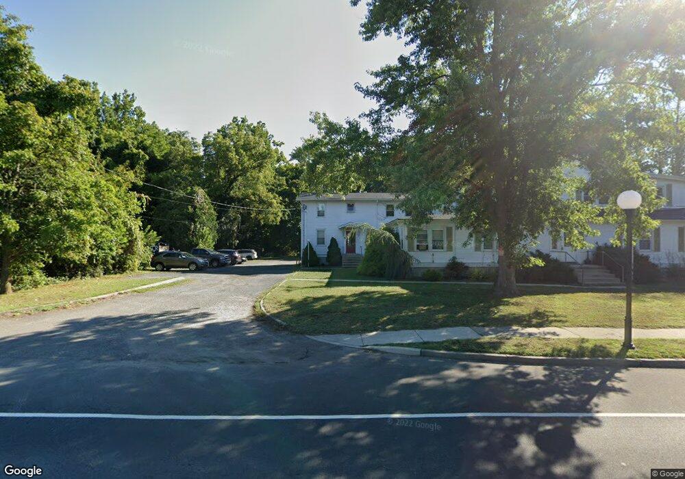
1 Circle Dr Unit A Browns Mills, NJ 08015
Estimated Value: $174,000 - $203,000
Studio
--
Bath
624
Sq Ft
$309/Sq Ft
Est. Value
About This Home
This home is located at 1 Circle Dr Unit A, Browns Mills, NJ 08015 and is currently estimated at $193,121, approximately $309 per square foot. 1 Circle Dr Unit A is a home located in Burlington County.
Ownership History
Date
Name
Owned For
Owner Type
Purchase Details
Closed on
Apr 30, 2025
Sold by
Harris David and Harris David H
Bought by
Spotts Andrew Gregory
Current Estimated Value
Home Financials for this Owner
Home Financials are based on the most recent Mortgage that was taken out on this home.
Original Mortgage
$137,350
Outstanding Balance
$136,863
Interest Rate
6.64%
Mortgage Type
New Conventional
Estimated Equity
$56,258
Purchase Details
Closed on
Dec 15, 2021
Sold by
Allen James S
Bought by
Harris David H
Purchase Details
Closed on
Jul 28, 2000
Sold by
Hill Buford and Hill Margareta
Bought by
Allen William
Home Financials for this Owner
Home Financials are based on the most recent Mortgage that was taken out on this home.
Original Mortgage
$51,000
Interest Rate
8.06%
Create a Home Valuation Report for This Property
The Home Valuation Report is an in-depth analysis detailing your home's value as well as a comparison with similar homes in the area
Home Values in the Area
Average Home Value in this Area
Purchase History
| Date | Buyer | Sale Price | Title Company |
|---|---|---|---|
| Spotts Andrew Gregory | $195,000 | None Listed On Document | |
| Harris David H | $80,000 | Old Republic Title | |
| Allen William | $51,000 | -- |
Source: Public Records
Mortgage History
| Date | Status | Borrower | Loan Amount |
|---|---|---|---|
| Open | Spotts Andrew Gregory | $137,350 | |
| Previous Owner | Allen William | $51,000 |
Source: Public Records
Tax History
| Year | Tax Paid | Tax Assessment Tax Assessment Total Assessment is a certain percentage of the fair market value that is determined by local assessors to be the total taxable value of land and additions on the property. | Land | Improvement |
|---|---|---|---|---|
| 2025 | $2,967 | $96,800 | $36,300 | $60,500 |
| 2024 | $2,784 | $96,800 | $36,300 | $60,500 |
| 2023 | $2,784 | $96,800 | $36,300 | $60,500 |
| 2022 | $2,577 | $96,800 | $36,300 | $60,500 |
| 2021 | $2,471 | $96,800 | $36,300 | $60,500 |
| 2020 | $2,378 | $96,800 | $36,300 | $60,500 |
| 2019 | $2,278 | $96,800 | $36,300 | $60,500 |
| 2018 | $2,200 | $96,800 | $36,300 | $60,500 |
| 2017 | $2,155 | $96,800 | $36,300 | $60,500 |
| 2016 | $2,093 | $56,000 | $15,700 | $40,300 |
| 2015 | $2,076 | $45,500 | $15,700 | $29,800 |
| 2014 | $1,613 | $45,500 | $15,700 | $29,800 |
Source: Public Records
Map
Nearby Homes
- 3 Circle Dr
- 5 Pear Ave
- 16 Pear Ave
- 5 Chestnut Ave
- 111 Crescent Dr
- 108 Juliustown Rd
- 19 Crescent Dr
- 136 S Lakeshore Dr
- 14 Scammell Dr
- 135 Trenton Rd
- 45 W Lakeshore Dr
- 22 Finch St
- 383 Woodbine St
- 88 Eldridge St
- 304 Otter Ave
- 602 S Lakeshore Dr
- 219 Snow Ave
- 612 Katherine Rd
- 387 Lakehurst Rd
- 301 N Lakeshore Dr
- 8 Trenton Rd Unit 8
- 8 Trenton Rd Unit 11
- 8 Trenton Rd Unit 6
- 8 Trenton Rd Unit 3
- 8 Trenton Rd
- 5 Circle Dr
- 7 Circle Dr Unit 3
- 7 Circle Dr Unit 2
- 7 Circle Dr
- 17 Pear Ave
- 19 Pear Ave
- 15 Pear Ave
- 15 Pear Ave Unit A
- 15 Pear Ave Unit B
- 2 Circle Dr
- 0 Park St Unit 1007901144
- 0 Park St Unit 1007480644
- 0 Park St Unit 6638596
- 0 Park St Unit 6765930
- 0 Park St Unit NJBL325200
Your Personal Tour Guide
Ask me questions while you tour the home.