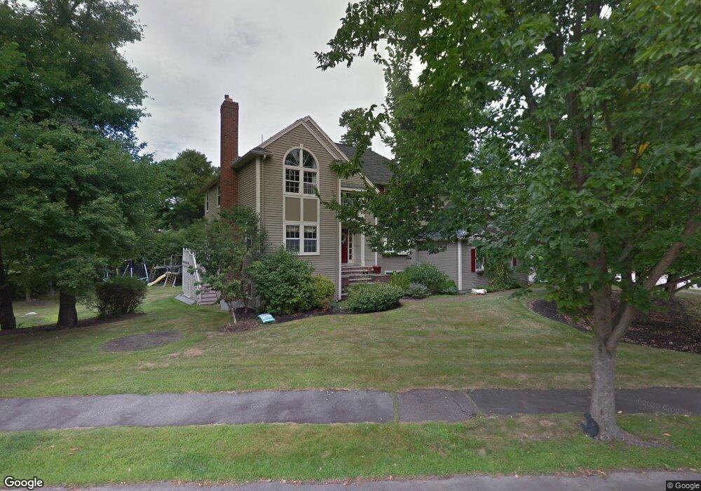
1 Cunningham Ln Milton, MA 02186
Milton AreaEstimated Value: $1,719,000 - $2,052,000
About This Home
This home is located at 1 Cunningham Ln, Milton, MA 02186 and is currently estimated at $1,934,520, approximately $458 per square foot. 1 Cunningham Ln is a home located in Norfolk County with nearby schools including Milton High School, Saint Agatha School, and Milton Academy.
Ownership History
We collect this data history from publicly available records. To have your information removed, we recommend requesting removal directly through your county’s website.
Purchase Details
Purchase Details
Home Financials for this Owner
Home Financials are based on the most recent Mortgage that was taken out on this home.Purchase History
We collect this data history from publicly available records. To have your information removed, we recommend requesting removal directly through your county’s website.
| Date | Buyer | Sale Price | Title Company |
|---|---|---|---|
| -- | -- | ||
| $1,300,000 | None Available |
Mortgage History
We collect this data history from publicly available records. To have your information removed, we recommend requesting removal directly through your county’s website.
| Date | Status | Borrower | Loan Amount |
|---|---|---|---|
| Previous Owner | $650,000 |
Tax History
We collect this data history from publicly available records. To have your information removed, we recommend requesting removal directly through your county’s website.
| Year | Tax Paid | Tax Assessment Tax Assessment Total Assessment is a certain percentage of the fair market value that is determined by local assessors to be the total taxable value of land and additions on the property. | Land | Improvement |
|---|---|---|---|---|
| 2025 | $19,060 | $1,718,700 | $591,400 | $1,127,300 |
| 2024 | $18,532 | $1,697,100 | $563,400 | $1,133,700 |
| 2023 | $18,355 | $1,610,100 | $536,500 | $1,073,600 |
| 2022 | $17,150 | $1,375,300 | $536,500 | $838,800 |
| 2021 | $17,039 | $1,297,700 | $490,700 | $807,000 |
| 2020 | $16,589 | $1,264,400 | $486,000 | $778,400 |
| 2019 | $16,178 | $1,227,500 | $471,800 | $755,700 |
| 2018 | $14,976 | $1,084,400 | $330,100 | $754,300 |
| 2017 | $14,017 | $1,033,700 | $314,400 | $719,300 |
| 2016 | $13,797 | $1,022,000 | $314,400 | $707,600 |
| 2015 | $13,894 | $996,700 | $289,600 | $707,100 |
Map
- 7 Phyllis Ln
- 29 Lawrence Rd
- 22 Bradford Rd
- 15 Rose St
- 106 Edge Hill Rd
- 44 Quarry Ln
- 76 Shawmut St
- 141 Gardiner Rd
- 403405 Reedsdale Rd
- 1200 Brook Rd
- 8 Clifton Rd
- 25 Waldeck Rd
- 20 Rowe St
- 141 Willard St Unit 8
- 159 Willard St Unit 7
- 282 Highland St
- 268 Highland St
- 440 Granite Ave Unit 201
- 580 Quarry St Unit 4
- 45 Foster Ln
Ask me questions while you tour the home.