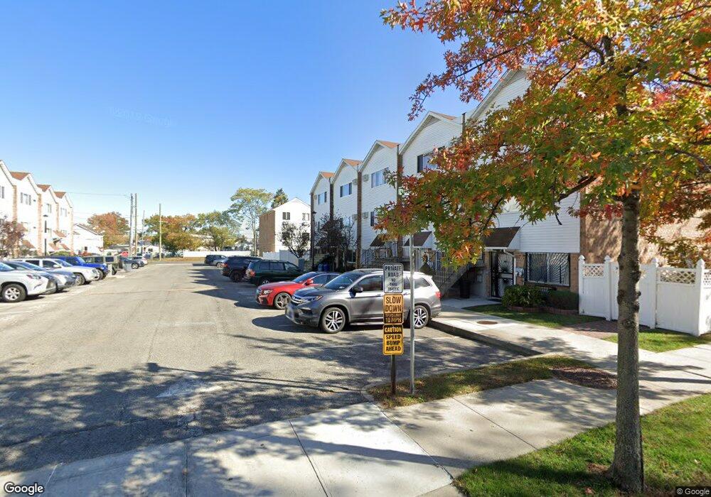
1 Dune Ct Bronx, NY 10473
Clason Point NeighborhoodEstimated Value: $848,000 - $1,005,000
5
Beds
4
Baths
2,420
Sq Ft
$373/Sq Ft
Est. Value
About This Home
This home is located at 1 Dune Ct, Bronx, NY 10473 and is currently estimated at $903,439, approximately $373 per square foot. 1 Dune Ct is a home located in Bronx County with nearby schools including P.S. 069 Journey Prep School - X069 and Holy Cross Elementary School.
Ownership History
Date
Name
Owned For
Owner Type
Purchase Details
Closed on
Sep 20, 2004
Sold by
216 Croes Avenue Realty Corp
Bought by
Rolly Aminul
Current Estimated Value
Home Financials for this Owner
Home Financials are based on the most recent Mortgage that was taken out on this home.
Original Mortgage
$408,500
Interest Rate
5.8%
Mortgage Type
Purchase Money Mortgage
Purchase Details
Closed on
Mar 22, 2004
Sold by
Matos Dominga and Matos Lillian
Bought by
216 Croes Avenue Realty Corp
Create a Home Valuation Report for This Property
The Home Valuation Report is an in-depth analysis detailing your home's value as well as a comparison with similar homes in the area
Home Values in the Area
Average Home Value in this Area
Purchase History
| Date | Buyer | Sale Price | Title Company |
|---|---|---|---|
| Rolly Aminul | $430,000 | -- | |
| 216 Croes Avenue Realty Corp | $360,000 | -- | |
| Matos Dominga | $333,656 | -- |
Source: Public Records
Mortgage History
| Date | Status | Borrower | Loan Amount |
|---|---|---|---|
| Previous Owner | Rolly Aminul | $408,500 |
Source: Public Records
Tax History
| Year | Tax Paid | Tax Assessment Tax Assessment Total Assessment is a certain percentage of the fair market value that is determined by local assessors to be the total taxable value of land and additions on the property. | Land | Improvement |
|---|---|---|---|---|
| 2025 | $6,903 | $37,915 | $6,087 | $31,828 |
| 2024 | $6,903 | $35,770 | $5,608 | $30,162 |
| 2023 | $6,927 | $35,510 | $6,357 | $29,153 |
| 2022 | $6,752 | $44,940 | $8,400 | $36,540 |
| 2021 | $6,697 | $37,560 | $8,400 | $29,160 |
| 2020 | $6,392 | $37,140 | $8,400 | $28,740 |
| 2019 | $5,943 | $32,400 | $8,400 | $24,000 |
| 2018 | $5,735 | $29,592 | $7,332 | $22,260 |
| 2017 | $5,690 | $29,383 | $7,911 | $21,472 |
| 2016 | $5,232 | $27,720 | $8,400 | $19,320 |
| 2015 | $3,319 | $26,330 | $8,891 | $17,439 |
| 2014 | $3,319 | $24,840 | $9,360 | $15,480 |
Source: Public Records
Map
Nearby Homes
- 203 White Plains Rd
- 1323 Harding Park
- 1329 Harding Park
- 1540 Harding Park
- 126 Mermaid Ln Unit 174
- 246 Soundview Ave
- 252 Soundview Ave
- 1015 Harding Park
- 122 Stephens Ave
- 230 Fleet Ct Unit 16230
- 233 Sunset Blvd
- 121 Sunset Blvd Unit 10121
- 321 Newman Ave
- 109 Fleet Ct
- 210 Sunset Blvd Unit 12210
- 325 Underhill Ave
- 326 Underhill Ave
- 204 Sunset Blvd Unit 12204
- 132 Sunset Blvd Unit 11132
- 332 Underhill Ave
- 2 Dune Ct
- 3 Dune Ct
- 135 White Plains Rd
- 135 White Plains Rd Unit 2
- 133 White Plains Rd
- 137 White Plains Rd
- 131 White Plains Rd
- 4 Dune Ct
- 10 Banes Ct
- 129 White Plains Rd
- 9 Banes Ct
- 9 Banes Ct Unit 2
- 8 Banes Ct
- 5 Dune Ct
- 127 White Plains Rd
- 7 Banes Ct
- 125 White Plains Rd Unit 1
- 125 White Plains Rd Unit 2
- 125 White Plains Rd
- 6 Banes Ct
Your Personal Tour Guide
Ask me questions while you tour the home.