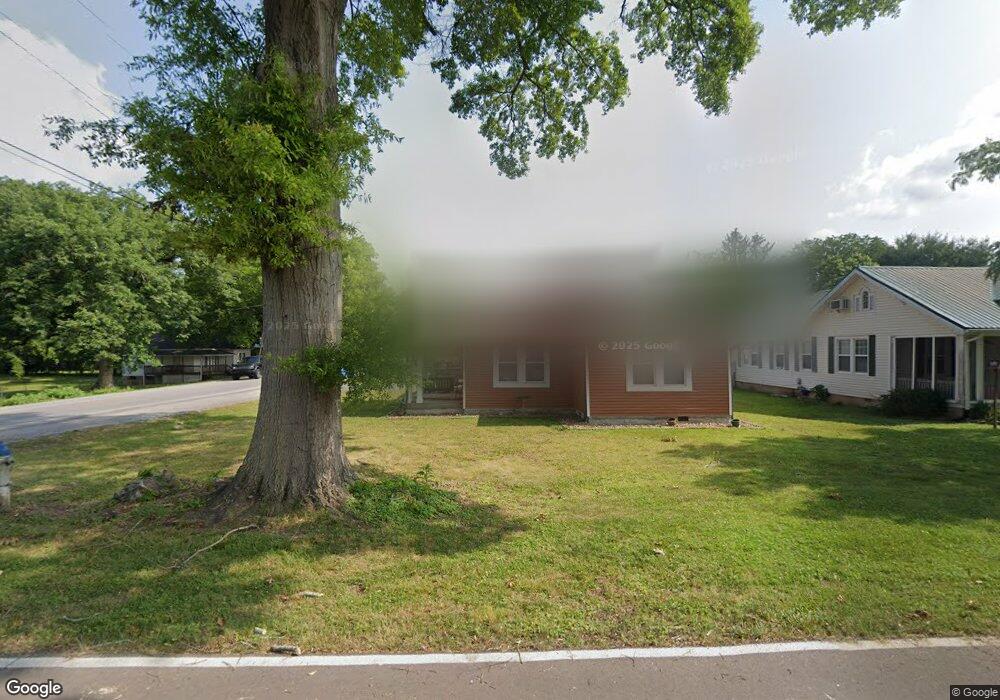
1 E 10th St Chickamauga, GA 30707
Estimated Value: $257,172 - $267,000
3
Beds
1
Bath
1,268
Sq Ft
$207/Sq Ft
Est. Value
About This Home
This home is located at 1 E 10th St, Chickamauga, GA 30707 and is currently estimated at $262,543, approximately $207 per square foot. 1 E 10th St is a home located in Walker County with nearby schools including Chickamauga Elementary School, Gordon Lee Middle School, and Gordon Lee High School.
Ownership History
Date
Name
Owned For
Owner Type
Purchase Details
Closed on
Jan 9, 2026
Sold by
Cogswell Douglas E
Bought by
Irwin Luke and Irwin Rebekah
Current Estimated Value
Home Financials for this Owner
Home Financials are based on the most recent Mortgage that was taken out on this home.
Original Mortgage
$240,000
Outstanding Balance
$240,000
Interest Rate
6.6%
Mortgage Type
Purchase Money Mortgage
Estimated Equity
$22,543
Purchase Details
Closed on
Dec 20, 2013
Sold by
Forester Christine Brooks
Bought by
Cogswell Douglas E and Glenda Cogswell V
Home Financials for this Owner
Home Financials are based on the most recent Mortgage that was taken out on this home.
Original Mortgage
$65,000
Interest Rate
4.25%
Mortgage Type
New Conventional
Purchase Details
Closed on
Oct 27, 1978
Sold by
Brooks Carl J
Bought by
Brooks Christine
Purchase Details
Closed on
Jan 1, 1972
Bought by
Brooks Carl J
Create a Home Valuation Report for This Property
The Home Valuation Report is an in-depth analysis detailing your home's value as well as a comparison with similar homes in the area
Home Values in the Area
Average Home Value in this Area
Purchase History
| Date | Buyer | Sale Price | Title Company |
|---|---|---|---|
| Irwin Luke | $270,000 | -- | |
| Cogswell Douglas E | $51,000 | -- | |
| Brooks Christine | -- | -- | |
| Brooks Carl J | -- | -- |
Source: Public Records
Mortgage History
| Date | Status | Borrower | Loan Amount |
|---|---|---|---|
| Open | Irwin Luke | $240,000 | |
| Previous Owner | Cogswell Douglas E | $65,000 |
Source: Public Records
Tax History
| Year | Tax Paid | Tax Assessment Tax Assessment Total Assessment is a certain percentage of the fair market value that is determined by local assessors to be the total taxable value of land and additions on the property. | Land | Improvement |
|---|---|---|---|---|
| 2025 | $1,574 | $67,609 | $14,045 | $53,564 |
| 2024 | $1,555 | $65,467 | $9,364 | $56,103 |
| 2023 | $1,530 | $62,472 | $9,364 | $53,108 |
| 2022 | $648 | $52,504 | $9,364 | $43,140 |
| 2021 | $577 | $37,622 | $9,364 | $28,258 |
| 2020 | $535 | $30,736 | $9,364 | $21,372 |
| 2019 | $535 | $30,736 | $9,364 | $21,372 |
| 2018 | $404 | $30,736 | $9,364 | $21,372 |
| 2017 | $638 | $30,736 | $9,364 | $21,372 |
| 2016 | $466 | $30,736 | $9,364 | $21,372 |
| 2015 | $394 | $22,916 | $2,936 | $19,980 |
| 2014 | $305 | $22,916 | $2,936 | $19,980 |
| 2013 | -- | $22,916 | $2,936 | $19,980 |
Source: Public Records
Map
Nearby Homes
- 8 W 8th St
- 130 Krystal Dr
- 74 Cove Rd
- 80 Cove Rd
- 661 Jill Ln
- 107 Hamel Dr
- 111 Clebourne Ave
- 140 Park St
- 0 Cheatham Ave Unit 1529843
- 311 Crescent Ave
- 0 W 12th St Unit 1526508
- 801 Thomas Ave
- 138 Dana Ln
- 409 Elder Ave
- 308 Pinehurst Cir
- 1527 Glass Mill Rd
- 90 Park St
- 327 Starr Hawk Ln
- 110 Christopher Dr
- 260 E Tennant Cir
Your Personal Tour Guide
Ask me questions while you tour the home.