1 Export Dr Sterling, VA 20164
Estimated Value: $10,925,413
Studio
--
Bath
74,827
Sq Ft
$146/Sq Ft
Est. Value
About This Home
This home is located at 1 Export Dr, Sterling, VA 20164 and is currently estimated at $10,925,413, approximately $146 per square foot. 1 Export Dr is a home located in Loudoun County with nearby schools including Guilford Elementary School, Sterling Middle School, and Park View High School.
Ownership History
Date
Name
Owned For
Owner Type
Purchase Details
Closed on
May 4, 2018
Sold by
401 Glenn Sterling Llc A Virginia Limite
Bought by
Ex Industrial Llc A Virginia Limited Lia
Current Estimated Value
Home Financials for this Owner
Home Financials are based on the most recent Mortgage that was taken out on this home.
Original Mortgage
$5,250,000
Outstanding Balance
$4,525,623
Interest Rate
4.45%
Mortgage Type
Commercial
Estimated Equity
$6,399,790
Create a Home Valuation Report for This Property
The Home Valuation Report is an in-depth analysis detailing your home's value as well as a comparison with similar homes in the area
Home Values in the Area
Average Home Value in this Area
Purchase History
| Date | Buyer | Sale Price | Title Company |
|---|---|---|---|
| Ex Industrial Llc A Virginia Limited Lia | $7,300,000 | Attorney |
Source: Public Records
Mortgage History
| Date | Status | Borrower | Loan Amount |
|---|---|---|---|
| Open | Ex Industrial Llc A Virginia Limited Lia | $5,250,000 |
Source: Public Records
Tax History
| Year | Tax Paid | Tax Assessment Tax Assessment Total Assessment is a certain percentage of the fair market value that is determined by local assessors to be the total taxable value of land and additions on the property. | Land | Improvement |
|---|---|---|---|---|
| 2025 | $68,205 | $7,373,560 | $3,078,800 | $4,294,760 |
| 2024 | $79,878 | $7,948,050 | $3,078,800 | $4,869,250 |
| 2023 | $78,137 | $7,549,450 | $2,822,200 | $4,727,250 |
| 2022 | $64,387 | $7,234,500 | $2,565,700 | $4,668,800 |
| 2021 | $65,670 | $6,700,990 | $2,565,700 | $4,135,290 |
| 2020 | $73,103 | $7,063,100 | $2,565,700 | $4,497,400 |
| 2019 | $73,354 | $7,019,520 | $2,565,700 | $4,453,820 |
| 2018 | $61,388 | $5,657,880 | $2,309,100 | $3,348,780 |
| 2017 | $60,820 | $5,406,250 | $2,309,100 | $3,097,150 |
| 2016 | $57,029 | $4,980,680 | $0 | $0 |
| 2015 | $45,450 | $1,695,280 | $0 | $1,695,280 |
| 2014 | $48,702 | $2,035,840 | $0 | $2,035,840 |
Source: Public Records
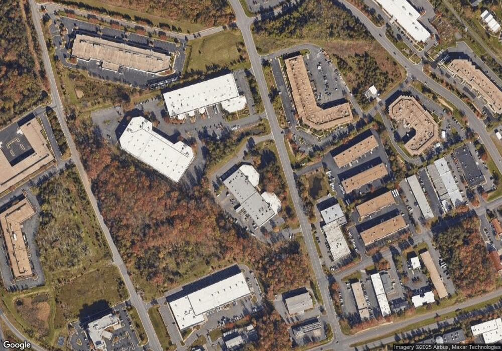
Map
Nearby Homes
- 1021A Brixton Ct
- 1049A Margate Ct
- 1032B Margate Ct
- 45458 Oak Trail Square
- 45310 Gable Square
- 1042 Tottenham Ct
- 22216 Stablehouse Dr
- 45426 Clarkes Crossing Square
- 46270 Mount Allen Terrace Unit 300
- 46294 Mount Milstead Terrace Unit 400
- 21630 Hawksbill High Cir Unit 204
- 46294 Mount Milstead Terrace Unit 303
- 801 S Hoga St
- 1014 Ruritan Cir
- 45591 Hutchens Square
- 708 W Jasper Ct
- 22855 Lacey Oak Terrace
- 2 Providence Square
- 110 Almey Ct
- 21877 Elkins Terrace
- 401 Glenn Dr
- 405 Glenn Dr
- 403 Glenn Dr
- 22560 Glenn Dr Unit 103
- 22560 Glenn Dr
- 312 Glenn Dr
- 1439 Shepard Dr
- 22580 Glenn Dr Unit 100
- 22580 Glenn Dr Unit 110
- 22580 Glenn Dr Unit 160
- 22580 Glenn Dr Unit 150
- 22580 Glenn Dr Unit 180
- 22580 Glenn Dr
- 22570 Shaw Rd
- 310 Glenn Dr
- 45570 Shepard Dr Unit 100
- 45580 Shepard Dr Unit 170
- 45570 Shepard Dr Unit 180
- 45571 Shepard Dr
- 100 Glenn Dr Unit A-10
Your Personal Tour Guide
Ask me questions while you tour the home.