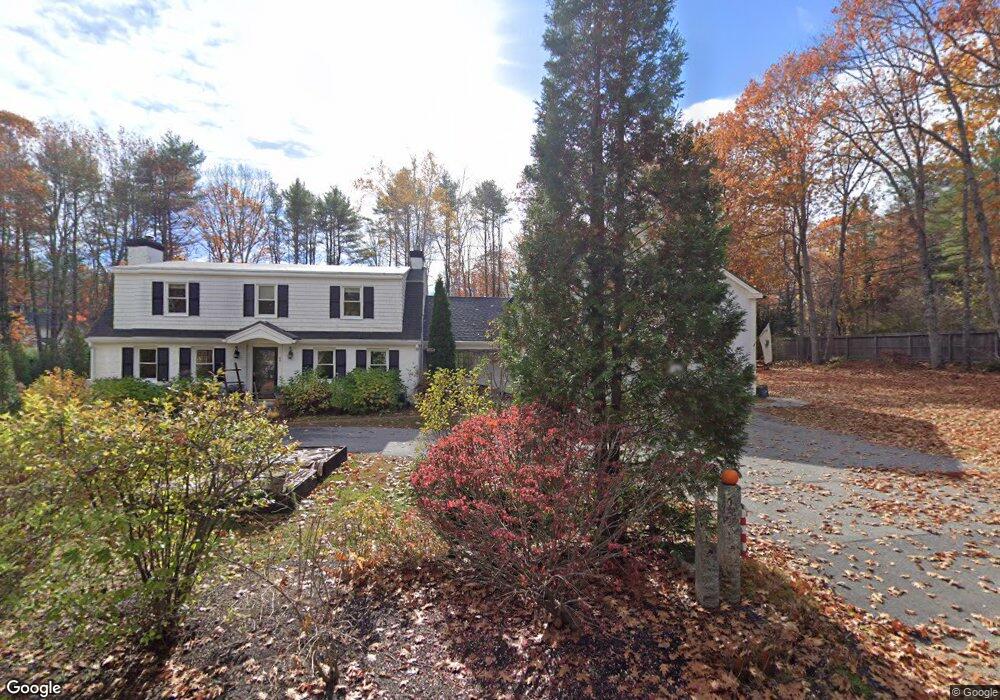
1 Lanewood Rd Cumberland Foreside, ME 04110
Cumberland Foreside NeighborhoodEstimated Value: $1,334,520 - $1,653,000
3
Beds
2
Baths
3,809
Sq Ft
$405/Sq Ft
Est. Value
About This Home
This home is located at 1 Lanewood Rd, Cumberland Foreside, ME 04110 and is currently estimated at $1,542,130, approximately $404 per square foot. 1 Lanewood Rd is a home located in Cumberland County with nearby schools including Mabel I. Wilson School, Greely Middle School 4-5, and Greely Middle School.
Ownership History
Date
Name
Owned For
Owner Type
Purchase Details
Closed on
Jun 1, 2006
Sold by
Poole William W
Bought by
Smith Robert R and Mcgee Chessell N
Current Estimated Value
Create a Home Valuation Report for This Property
The Home Valuation Report is an in-depth analysis detailing your home's value as well as a comparison with similar homes in the area
Home Values in the Area
Average Home Value in this Area
Purchase History
| Date | Buyer | Sale Price | Title Company |
|---|---|---|---|
| Smith Robert R | -- | -- | |
| Smith Robert R | -- | -- | |
| Smith Robert R | -- | -- |
Source: Public Records
Mortgage History
| Date | Status | Borrower | Loan Amount |
|---|---|---|---|
| Open | Smith Robert R | $417,000 | |
| Closed | Smith Robert R | $410,000 | |
| Closed | Smith Robert R | $150,000 |
Source: Public Records
Tax History
| Year | Tax Paid | Tax Assessment Tax Assessment Total Assessment is a certain percentage of the fair market value that is determined by local assessors to be the total taxable value of land and additions on the property. | Land | Improvement |
|---|---|---|---|---|
| 2025 | $13,776 | $547,100 | $235,400 | $311,700 |
| 2024 | $12,720 | $547,100 | $235,400 | $311,700 |
| 2023 | $12,118 | $547,100 | $235,400 | $311,700 |
| 2022 | $11,599 | $547,100 | $235,400 | $311,700 |
| 2021 | $11,243 | $547,100 | $235,400 | $311,700 |
| 2020 | $11,133 | $547,100 | $235,400 | $311,700 |
| 2019 | $10,860 | $547,100 | $235,400 | $311,700 |
| 2018 | $10,664 | $541,300 | $235,400 | $305,900 |
| 2017 | $8,640 | $459,600 | $235,400 | $224,200 |
| 2016 | $8,379 | $459,100 | $235,400 | $223,700 |
| 2015 | $8,310 | $459,100 | $235,400 | $223,700 |
| 2014 | $7,988 | $459,100 | $235,400 | $223,700 |
| 2013 | $7,805 | $459,100 | $235,400 | $223,700 |
Source: Public Records
Map
Nearby Homes
- 9 Conifer Ridge
- 59 Underwood Rd
- 16 Town Landing Rd
- 24 Amerescoggin Rd
- 24 Johnson Rd
- 76 Johnson Rd
- 252 Foreside Rd
- 5 & 6 Harmony Way
- 5 Harmony Way
- 6 Mackworth Ln Unit 6
- 5 Torry Pine Dr Unit 31
- 140 Longwoods Rd
- 142 Longwoods Rd
- 0 Ravine Dr Unit 1652137
- 11 Coastal Pines Lot 5
- 59 Astilbe Ln
- Lot 3 Dunham Ln
- 267 U S Route 1 Unit 308
- 267 U S 1 Unit 305
- 267 U S 1 Unit 301
- 97 Foreside Rd
- 13 Deans Way
- 3 Lanewood Rd
- 2 Lanewood Rd
- 96 Foreside Rd
- 41 Nubbin Way
- 113 Foreside Rd
- 100 Foreside Rd
- 26 Deans Way
- 4 Lanewood Rd
- 104 Foreside Rd Unit East Lot
- 104 Foreside Rd Unit West Lot
- 104 Foreside Rd
- 9 Osprey Reach
- 92 Foreside Rd
- 11 Lanewood Rd
- 106 Foreside Rd
- Lot B Chestnut Way
- 109 Foreside Rd
- 21 Heron Ln
Your Personal Tour Guide
Ask me questions while you tour the home.