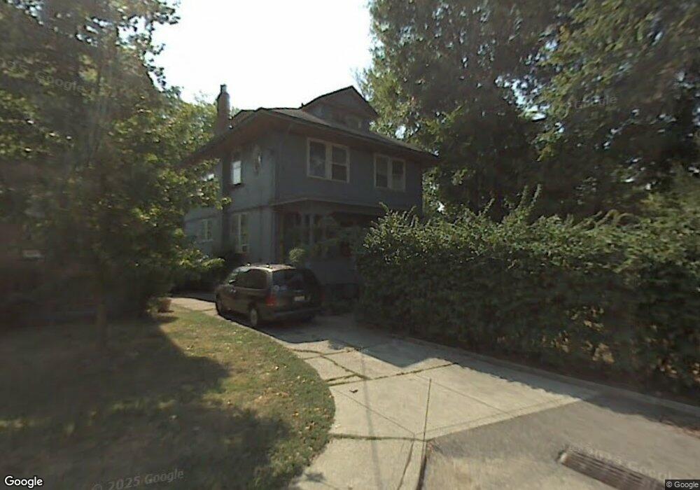
1 Lenox Ln Cincinnati, OH 45229
North Avondale NeighborhoodEstimated Value: $407,825 - $552,000
4
Beds
4
Baths
3,389
Sq Ft
$136/Sq Ft
Est. Value
About This Home
This home is located at 1 Lenox Ln, Cincinnati, OH 45229 and is currently estimated at $461,206, approximately $136 per square foot. 1 Lenox Ln is a home located in Hamilton County with nearby schools including South Avondale School, Clark Montessori High School, and Robert A. Taft Information Technology High School.
Ownership History
Date
Name
Owned For
Owner Type
Purchase Details
Closed on
Jan 26, 2010
Sold by
Harten Chris and Harten Allison
Bought by
Cash Bret P
Current Estimated Value
Purchase Details
Closed on
Jul 24, 2009
Sold by
Fannie Mae
Bought by
Harten Chris and Harten Allison
Purchase Details
Closed on
Aug 4, 2008
Sold by
Truck Henry Clay and Turck Janet L
Bought by
Federal National Mortgage Association
Create a Home Valuation Report for This Property
The Home Valuation Report is an in-depth analysis detailing your home's value as well as a comparison with similar homes in the area
Home Values in the Area
Average Home Value in this Area
Purchase History
We collect this data history from publicly available records. To have your information removed, we recommend requesting removal directly through your county’s website.
| Date | Buyer | Sale Price | Title Company |
|---|---|---|---|
| Cash Bret P | $217,000 | Attorney | |
| Harten Chris | -- | Title First Agency Inc | |
| Federal National Mortgage Association | $120,000 | None Available |
Source: Public Records
Tax History
| Year | Tax Paid | Tax Assessment Tax Assessment Total Assessment is a certain percentage of the fair market value that is determined by local assessors to be the total taxable value of land and additions on the property. | Land | Improvement |
|---|---|---|---|---|
| 2025 | $6,486 | $105,420 | $19,754 | $85,666 |
| 2024 | $6,289 | $105,420 | $19,754 | $85,666 |
| 2023 | $6,431 | $105,420 | $19,754 | $85,666 |
| 2022 | $5,174 | $76,049 | $16,209 | $59,840 |
| 2021 | $4,981 | $76,049 | $16,209 | $59,840 |
| 2020 | $5,127 | $76,049 | $16,209 | $59,840 |
| 2019 | $5,048 | $68,513 | $14,602 | $53,911 |
| 2018 | $5,050 | $68,513 | $14,602 | $53,911 |
| 2017 | $4,798 | $68,513 | $14,602 | $53,911 |
| 2016 | $5,394 | $75,951 | $12,751 | $63,200 |
| 2015 | $4,862 | $75,951 | $12,751 | $63,200 |
| 2014 | $4,897 | $75,951 | $12,751 | $63,200 |
| 2013 | $4,983 | $75,951 | $12,751 | $63,200 |
Source: Public Records
Map
Nearby Homes
- 961 Marion Ave
- 3900 Rose Hill Ave
- 945 Dana Ave
- 3852 Dakota Ave
- 3896 Reading Rd
- 3966 Rose Hill Ave
- 974 Burton Ave
- 1006 Lenox Place
- 1039 Burton Ave
- 990 Burton Ave
- 798 Clinton Springs Ave
- 3990 Beechwood Ave
- 810 S Fred Shuttlesworth Cir
- 1025 Dana Ave
- 4 Burton Woods Ln
- 1029 Dana Ave
- 4009 Beechwood Ave
- 740 N Fred Shuttlesworth Cir
- 708 Greenwood Ave
- 704 Greenwood Ave
Your Personal Tour Guide
Ask me questions while you tour the home.