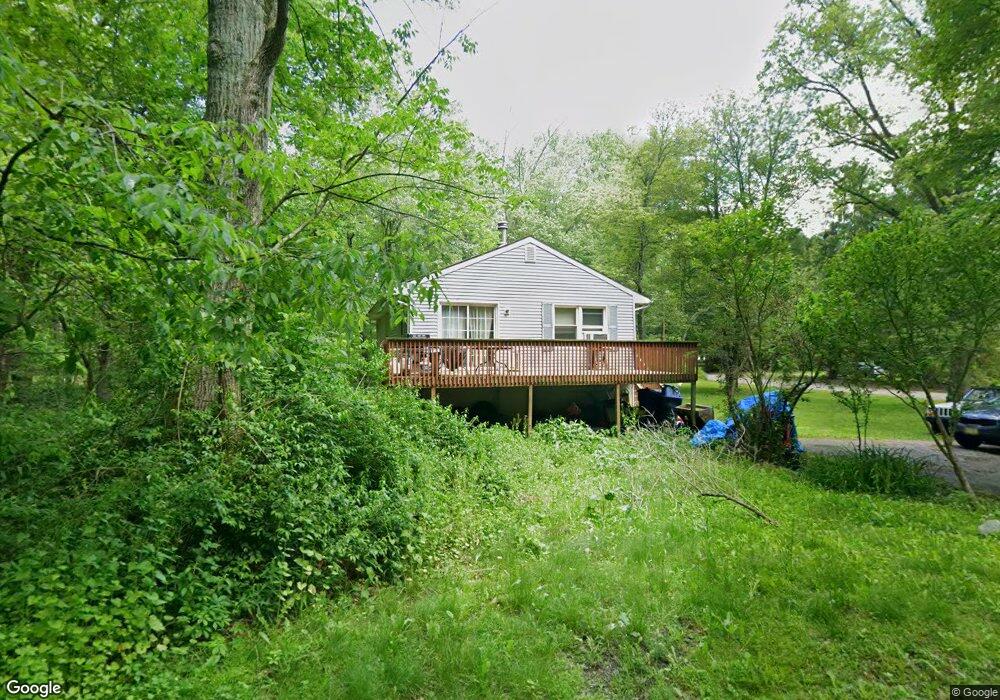
1 Maple Path Newton, NJ 07860
Estimated Value: $321,642 - $417,000
Studio
--
Bath
1,008
Sq Ft
$349/Sq Ft
Est. Value
About This Home
This home is located at 1 Maple Path, Newton, NJ 07860 and is currently estimated at $351,411, approximately $348 per square foot. 1 Maple Path is a home located in Sussex County with nearby schools including Stillwater Township School and Kittatinny Regional High School.
Ownership History
Date
Name
Owned For
Owner Type
Purchase Details
Closed on
Aug 20, 2001
Sold by
Librizzi Jeffrey and Librizzi Michelle
Bought by
Bell David and Bell Sondra
Current Estimated Value
Home Financials for this Owner
Home Financials are based on the most recent Mortgage that was taken out on this home.
Original Mortgage
$133,000
Outstanding Balance
$51,506
Interest Rate
7.05%
Estimated Equity
$299,905
Purchase Details
Closed on
Dec 16, 1994
Sold by
Ciamillo Ruth and Brozat Reverend Richard P
Bought by
Librizzi Jeffrey and Librizzi Michelle
Create a Home Valuation Report for This Property
The Home Valuation Report is an in-depth analysis detailing your home's value as well as a comparison with similar homes in the area
Home Values in the Area
Average Home Value in this Area
Purchase History
| Date | Buyer | Sale Price | Title Company |
|---|---|---|---|
| Bell David | $140,000 | -- | |
| Librizzi Jeffrey | $76,200 | -- |
Source: Public Records
Mortgage History
| Date | Status | Borrower | Loan Amount |
|---|---|---|---|
| Open | Bell David | $133,000 |
Source: Public Records
Tax History
| Year | Tax Paid | Tax Assessment Tax Assessment Total Assessment is a certain percentage of the fair market value that is determined by local assessors to be the total taxable value of land and additions on the property. | Land | Improvement |
|---|---|---|---|---|
| 2025 | $5,351 | $160,300 | $54,900 | $105,400 |
| 2024 | $5,067 | $160,300 | $54,900 | $105,400 |
Source: Public Records
Map
Nearby Homes
- 000 Pepperidge Dr
- 903 Aspen Ct
- 40 E Shore Dr
- 901 Chestnut Path
- 27 Plaza Dr
- 68 W Shore Dr
- 121 W Shore Dr
- 24 Plaza Dr
- 15 Copeley Rd
- 31 Kent Rd
- 17 17 West Owassa Tnpk
- 90 Kemah Mecca Lake Rd
- 0 Mount Benevolence Rd
- 239 E Shore Lake Owassa Rd
- 00 Plymouth Lake Dr
- 4 Grove St
- 951 Owassa Rd
- 40 Martin Ln
- 15 Ike Williams Rd
- 1071 County Road 521
- 2 Palmetto Trail
- 13 W Shore Dr
- 11 W Shore Dr
- 15 W Shore Dr
- 23 W Shore Dr
- 7 W Shore Dr
- 904 Poplar Terrace
- 906 Maple Path
- 903 Maple Path
- 19 W Shore Dr
- 5 W Shore Dr
- 916 Maple Path
- 903 Palmetto Trail
- 905 Maple Path
- 4 W Shore Dr
- 904 Pepperidge Dr
- 1 W Shore Dr
- 1056 W Shore Dr Rt 521
- 902 Palmetto Trail
- 904 Crandon Lake Dr W
Your Personal Tour Guide
Ask me questions while you tour the home.