1 Ohio Rd Little Compton, RI 02837
Estimated Value: $4,057,666 - $4,072,000
4
Beds
5
Baths
5,001
Sq Ft
$813/Sq Ft
Est. Value
About This Home
This home is located at 1 Ohio Rd, Little Compton, RI 02837 and is currently estimated at $4,064,833, approximately $812 per square foot. 1 Ohio Rd is a home located in Newport County with nearby schools including Wilbur & McMahon School.
Ownership History
Date
Name
Owned For
Owner Type
Purchase Details
Closed on
Sep 5, 2018
Sold by
John C Whitehead Ret 2
Bought by
John C Whitehead Ret 2
Current Estimated Value
Create a Home Valuation Report for This Property
The Home Valuation Report is an in-depth analysis detailing your home's value as well as a comparison with similar homes in the area
Home Values in the Area
Average Home Value in this Area
Purchase History
We collect this data history from publicly available records. To have your information removed, we recommend requesting removal directly through your county’s website.
| Date | Buyer | Sale Price | Title Company |
|---|---|---|---|
| John C Whitehead Ret 2 | -- | -- | |
| John C Whitehead Ret 2 | -- | -- |
Source: Public Records
Mortgage History
We collect this data history from publicly available records. To have your information removed, we recommend requesting removal directly through your county’s website.
| Date | Status | Borrower | Loan Amount |
|---|---|---|---|
| Previous Owner | John C Whitehead Ret 2 | $3,000,000 |
Source: Public Records
Tax History
| Year | Tax Paid | Tax Assessment Tax Assessment Total Assessment is a certain percentage of the fair market value that is determined by local assessors to be the total taxable value of land and additions on the property. | Land | Improvement |
|---|---|---|---|---|
| 2025 | $25,065 | $5,232,700 | $4,723,000 | $509,700 |
| 2024 | $23,109 | $4,549,000 | $4,108,500 | $440,500 |
| 2023 | $22,563 | $4,549,000 | $4,108,500 | $440,500 |
| 2022 | $22,290 | $4,549,000 | $4,108,500 | $440,500 |
| 2021 | $22,739 | $3,764,700 | $3,467,500 | $297,200 |
| 2020 | $22,570 | $3,767,900 | $3,467,500 | $300,400 |
| 2019 | $22,344 | $3,767,900 | $3,467,500 | $300,400 |
| 2018 | $14,386 | $2,413,700 | $2,020,900 | $392,800 |
| 2016 | $13,686 | $2,413,700 | $2,020,900 | $392,800 |
| 2015 | $12,344 | $2,146,700 | $1,689,600 | $457,100 |
| 2014 | $12,107 | $2,146,700 | $1,689,600 | $457,100 |
Source: Public Records
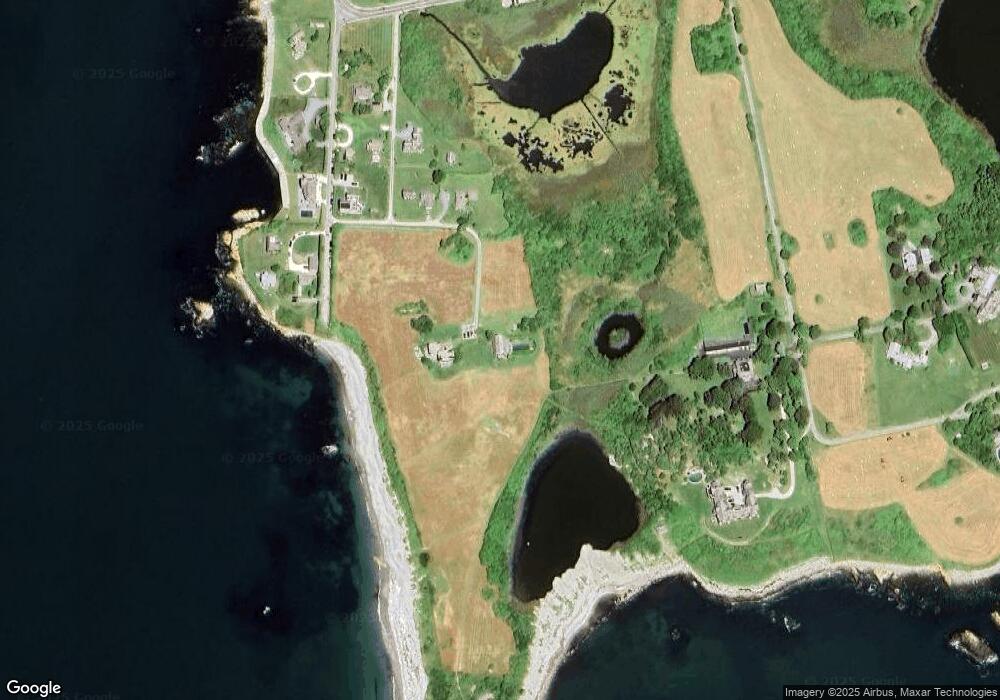
Map
Nearby Homes
- 536 W Main Rd
- 6 Moorings Way
- 8 Taylors Ln N
- 24 Point Meadows Rd
- 141 S Of Commons Rd
- 441 W Main Rd
- 1 Butts Rock Rd
- 89 S Shore Rd
- 35 Wild Cherry Dr
- 515 Indian Ave
- 138 Willow Ave
- 58 Vaucluse Ave
- 424 3rd Beach Rd
- 592 Tuckerman Ave
- 47 Kane Ave
- 56 Summerfield Ln
- 141 Gray Craig Rd
- 100 Summerfield Ln
- 418 Long Hwy
- 4 James St
- 5 Ohio Rd
- 16 Maryland Rd
- 10 Ohio Rd
- 18 Rhode Island Rd
- 21 Rhode Island Rd
- 17 Rhode Island Rd
- 14 Maryland Rd
- 11 Rhode Island Rd
- 7 Rhode Island Rd
- 47 Washington Rd
- 8 Maryland Rd
- 43 Washington Rd
- 12 Maryland Rd
- 3 Maryland Rd
- 1 Rhode Island Rd
- 9 Bluff Head Ave
- 6 Bluff Head Ave
- 10 Bluff Head Ave Unit NORTH
- 7 Bluff Head Ave
- 42 Washington Rd
Your Personal Tour Guide
Ask me questions while you tour the home.