1 Overlook Ln Mendham, NJ 07945
Estimated Value: $1,194,000 - $1,548,000
Studio
--
Bath
3,367
Sq Ft
$415/Sq Ft
Est. Value
About This Home
This home is located at 1 Overlook Ln, Mendham, NJ 07945 and is currently estimated at $1,397,402, approximately $415 per square foot. 1 Overlook Ln is a home located in Morris County with nearby schools including Mendham Township Elementary School, Mendham Township Middle School, and West Morris Mendham High School.
Ownership History
Date
Name
Owned For
Owner Type
Purchase Details
Closed on
Oct 23, 2002
Sold by
Johnson Dave
Bought by
Nitz William and Carpenter Marie
Current Estimated Value
Home Financials for this Owner
Home Financials are based on the most recent Mortgage that was taken out on this home.
Original Mortgage
$400,000
Outstanding Balance
$166,838
Interest Rate
6.09%
Estimated Equity
$1,230,564
Purchase Details
Closed on
Oct 1, 1995
Sold by
Hamje Kenneth H L and Hamje Alison L
Bought by
Johnson David L
Create a Home Valuation Report for This Property
The Home Valuation Report is an in-depth analysis detailing your home's value as well as a comparison with similar homes in the area
Home Values in the Area
Average Home Value in this Area
Purchase History
We collect this data history from publicly available records. To have your information removed, we recommend requesting removal directly through your county’s website.
| Date | Buyer | Sale Price | Title Company |
|---|---|---|---|
| Nitz William | $783,000 | -- | |
| Johnson David L | $563,000 | -- |
Source: Public Records
Mortgage History
We collect this data history from publicly available records. To have your information removed, we recommend requesting removal directly through your county’s website.
| Date | Status | Borrower | Loan Amount |
|---|---|---|---|
| Open | Nitz William | $400,000 |
Source: Public Records
Tax History
| Year | Tax Paid | Tax Assessment Tax Assessment Total Assessment is a certain percentage of the fair market value that is determined by local assessors to be the total taxable value of land and additions on the property. | Land | Improvement |
|---|---|---|---|---|
| 2025 | $19,571 | $1,090,300 | $494,900 | $595,400 |
| 2024 | $19,160 | $1,007,800 | $438,900 | $568,900 |
| 2023 | $19,160 | $917,200 | $378,400 | $538,800 |
| 2022 | $19,528 | $892,900 | $367,900 | $525,000 |
| 2021 | $19,528 | $882,400 | $509,800 | $372,600 |
| 2020 | $19,404 | $882,400 | $509,800 | $372,600 |
| 2019 | $19,042 | $882,400 | $509,800 | $372,600 |
| 2018 | $18,680 | $882,400 | $509,800 | $372,600 |
| 2017 | $18,248 | $882,400 | $509,800 | $372,600 |
| 2016 | $18,222 | $882,400 | $509,800 | $372,600 |
| 2015 | $17,886 | $882,400 | $509,800 | $372,600 |
| 2014 | $17,480 | $882,400 | $509,800 | $372,600 |
Source: Public Records
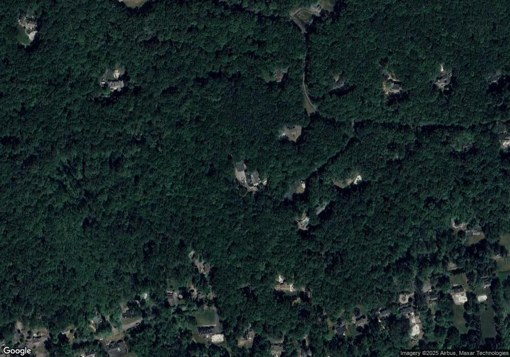
Map
Nearby Homes
- 89 Mountain Ave
- 81 Mountain Ave
- 211 Mountainside Rd
- 56 Mountainside Rd
- 5 Calais Rd
- 7 Calais Rd
- 79 Dean Rd
- 54 Dean Rd
- 235 Mountainside Rd
- 38 Essex Dr
- 14 Pembroke Dr
- 8 Pembroke Dr
- 42 Calais Rd
- 87 Hampshire Dr
- 251 Mountainside Rd
- 8 Forest Dr
- 128 Cold Hill Rd
- 2 Aster Terrace
- 11 Combs Hollow Rd
- 12 W Main St
- 18 Horizon Dr
- 4 Overlook Ln
- 145 Mountainside Rd
- 131 Mountainside Rd
- 20 Horizon Dr
- 2 Overlook Ln
- 121 Mountainside Rd
- 149 Mountainside Rd
- 23 Horizon Dr
- 151 Mountainside Rd
- 136 Mountainside Rd
- 88 Mountainside Rd
- 225 Mountainside Rd
- 2 Lone Spruce Trail
- 16 Horizon Dr
- 21 Horizon Dr
- 130 Mountainside Rd
- 107 Mountainside Rd
- 157 Mountainside Rd
- 116 Mountainside Rd
Your Personal Tour Guide
Ask me questions while you tour the home.