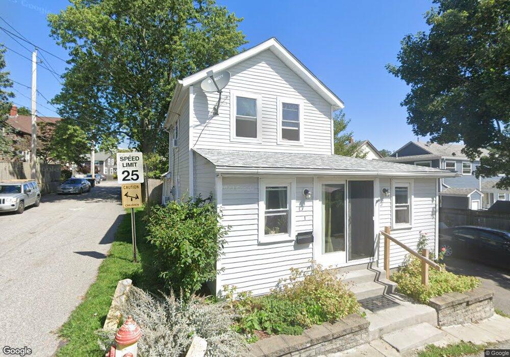
1 Peary St Riverside, RI 02915
Riverside NeighborhoodEstimated Value: $354,000 - $421,000
3
Beds
1
Bath
1,327
Sq Ft
$292/Sq Ft
Est. Value
About This Home
This home is located at 1 Peary St, Riverside, RI 02915 and is currently estimated at $387,155, approximately $291 per square foot. 1 Peary St is a home located in Providence County with nearby schools including East Providence High School, St Mary Academy-Bay View, and St Luke Elementary School.
Ownership History
Date
Name
Owned For
Owner Type
Purchase Details
Closed on
Mar 6, 1990
Sold by
Capobianco John E
Bought by
Oconnor Donald M
Current Estimated Value
Home Financials for this Owner
Home Financials are based on the most recent Mortgage that was taken out on this home.
Original Mortgage
$78,150
Interest Rate
9.78%
Create a Home Valuation Report for This Property
The Home Valuation Report is an in-depth analysis detailing your home's value as well as a comparison with similar homes in the area
Home Values in the Area
Average Home Value in this Area
Purchase History
| Date | Buyer | Sale Price | Title Company |
|---|---|---|---|
| Oconnor Donald M | $77,000 | -- |
Source: Public Records
Mortgage History
| Date | Status | Borrower | Loan Amount |
|---|---|---|---|
| Open | Oconnor Donald M | $44,631 | |
| Closed | Oconnor Donald M | $70,000 | |
| Closed | Oconnor Donald M | $78,150 |
Source: Public Records
Tax History
| Year | Tax Paid | Tax Assessment Tax Assessment Total Assessment is a certain percentage of the fair market value that is determined by local assessors to be the total taxable value of land and additions on the property. | Land | Improvement |
|---|---|---|---|---|
| 2025 | $4,066 | $311,100 | $76,200 | $234,900 |
| 2024 | $3,584 | $233,800 | $63,500 | $170,300 |
| 2023 | $3,451 | $233,800 | $63,500 | $170,300 |
| 2022 | $3,115 | $142,500 | $57,400 | $85,100 |
| 2021 | $3,064 | $142,500 | $57,300 | $85,200 |
| 2020 | $2,934 | $142,500 | $57,300 | $85,200 |
| 2019 | $2,853 | $142,500 | $57,300 | $85,200 |
| 2018 | $2,814 | $123,000 | $57,400 | $65,600 |
| 2017 | $2,752 | $123,000 | $57,400 | $65,600 |
| 2016 | $2,738 | $123,000 | $57,400 | $65,600 |
| 2015 | $2,591 | $112,900 | $49,100 | $63,800 |
| 2014 | $2,591 | $112,900 | $49,100 | $63,800 |
Source: Public Records
Map
Nearby Homes
- 56 Knowlton St
- 33 Pine St Unit 35
- 79 Sherman St
- 27 Hoppin Ave
- 2 Sprague Ave
- 48 Read St
- 25 Arnold St
- 33 Bullocks Point Ave Unit 5C
- 43 Bullocks Point Ave Unit 4A
- 102 Willett Ave
- 25 Bullocks Point Ave Unit 5C
- 47 Dartmouth Ave
- 131 Anson Dr
- 41 Whitcomb Rd
- 525 Willett Ave
- 0 Carousel Dr
- 6 Fuller Ave
- 63 Cul de Sac Way
- 15 Claire St
- 49 Forbes St
Your Personal Tour Guide
Ask me questions while you tour the home.