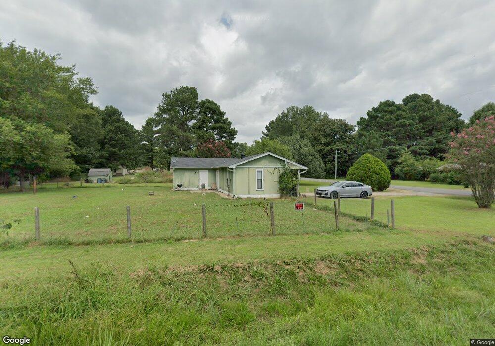
1 Sagebrush Conway, AR 72032
Estimated Value: $144,000 - $170,000
About This Home
This home is located at 1 Sagebrush, Conway, AR 72032 and is currently estimated at $156,336, approximately $135 per square foot. 1 Sagebrush is a home located in Faulkner County with nearby schools including Preston & Florence Mattison Elementary School, Bob Courtway Middle School, and Conway Junior High School.
Ownership History
We collect this data history from publicly available records. To have your information removed, we recommend requesting removal directly through your county’s website.
Purchase Details
Home Financials for this Owner
Home Financials are based on the most recent Mortgage that was taken out on this home.Purchase Details
Home Values in the Area
Average Home Value in this Area
Purchase History
We collect this data history from publicly available records. To have your information removed, we recommend requesting removal directly through your county’s website.
| Date | Buyer | Sale Price | Title Company |
|---|---|---|---|
| $71,000 | Lenders Title Co | ||
| $50,000 | -- | ||
| -- | -- |
Mortgage History
We collect this data history from publicly available records. To have your information removed, we recommend requesting removal directly through your county’s website.
| Date | Status | Borrower | Loan Amount |
|---|---|---|---|
| Closed | $4,260 | ||
| Closed | $71,000 |
Tax History
We collect this data history from publicly available records. To have your information removed, we recommend requesting removal directly through your county’s website.
| Year | Tax Paid | Tax Assessment Tax Assessment Total Assessment is a certain percentage of the fair market value that is determined by local assessors to be the total taxable value of land and additions on the property. | Land | Improvement |
|---|---|---|---|---|
| 2025 | $762 | $20,690 | $2,400 | $18,290 |
| 2024 | $728 | $20,690 | $2,400 | $18,290 |
| 2023 | $693 | $15,400 | $2,400 | $13,000 |
| 2022 | $338 | $15,400 | $2,400 | $13,000 |
| 2021 | $292 | $15,400 | $2,400 | $13,000 |
| 2020 | $262 | $12,980 | $2,400 | $10,580 |
| 2019 | $262 | $12,980 | $2,400 | $10,580 |
| 2018 | $287 | $12,980 | $2,400 | $10,580 |
| 2017 | $287 | $12,980 | $2,400 | $10,580 |
| 2016 | $287 | $12,980 | $2,400 | $10,580 |
| 2015 | $604 | $13,020 | $2,400 | $10,620 |
| 2014 | $289 | $13,020 | $2,400 | $10,620 |
Map
- 11 Jackie Ln
- 77 Oak Tree Cir
- 368 Hwy 64 E
- Tract 4 Rooster Rd
- Tract 6 Rooster Rd
- Tract 5 Rooster Rd
- Tract 12 Rooster Rd
- 53 Oak Tree Cir
- 3490 Appomattox Dr
- 3480 Appomattox Dr
- 28 Oak Tree Cir
- 42 Ranchette Rd
- 3400 Perryville Dr
- 000 Rooster Rd
- 3475 Homestead Rd
- 3335 Antietam Dr
- 3300 Antietam Dr
- 510 Shiloh Dr
- 630 Shiloh Dr
- 132 Daugherty Hill Rd
Ask me questions while you tour the home.