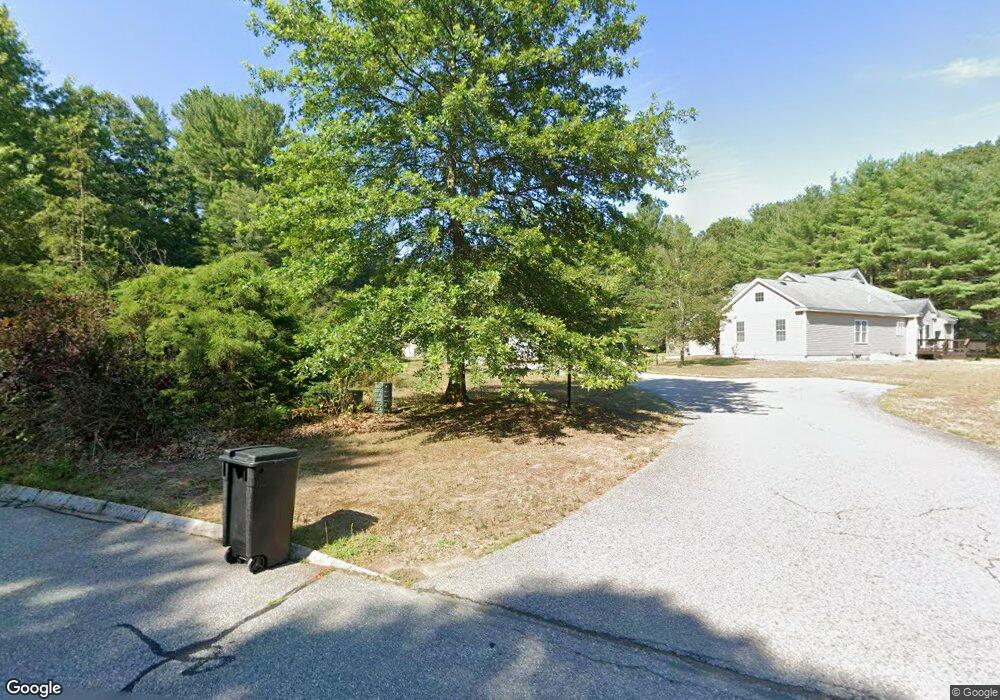
1 Silo Path Unit A Westford, MA 01886
Estimated Value: $548,000 - $623,000
2
Beds
2
Baths
1,276
Sq Ft
$463/Sq Ft
Est. Value
About This Home
This home is located at 1 Silo Path Unit A, Westford, MA 01886 and is currently estimated at $590,924, approximately $463 per square foot. 1 Silo Path Unit A is a home located in Middlesex County with nearby schools including Col John Robinson, John A. Crisafulli Elementary School, and Blanchard Middle School.
Ownership History
Date
Name
Owned For
Owner Type
Purchase Details
Closed on
Jan 17, 2007
Sold by
Bentley Building Corp
Bought by
Andjus Dana D and Andjus Monica S
Current Estimated Value
Home Financials for this Owner
Home Financials are based on the most recent Mortgage that was taken out on this home.
Original Mortgage
$240,000
Outstanding Balance
$142,864
Interest Rate
6.14%
Mortgage Type
Purchase Money Mortgage
Estimated Equity
$448,060
Create a Home Valuation Report for This Property
The Home Valuation Report is an in-depth analysis detailing your home's value as well as a comparison with similar homes in the area
Home Values in the Area
Average Home Value in this Area
Purchase History
| Date | Buyer | Sale Price | Title Company |
|---|---|---|---|
| Andjus Dana D | $300,000 | -- |
Source: Public Records
Mortgage History
| Date | Status | Borrower | Loan Amount |
|---|---|---|---|
| Open | Andjus Dana D | $240,000 |
Source: Public Records
Tax History
| Year | Tax Paid | Tax Assessment Tax Assessment Total Assessment is a certain percentage of the fair market value that is determined by local assessors to be the total taxable value of land and additions on the property. | Land | Improvement |
|---|---|---|---|---|
| 2025 | $6,744 | $500,700 | $0 | $500,700 |
| 2024 | $6,327 | $459,500 | $0 | $459,500 |
| 2023 | $6,227 | $421,900 | $0 | $421,900 |
| 2022 | $6,761 | $419,400 | $0 | $419,400 |
| 2021 | $6,351 | $381,700 | $0 | $381,700 |
| 2020 | $6,274 | $384,200 | $0 | $384,200 |
| 2019 | $5,715 | $345,100 | $0 | $345,100 |
| 2018 | $5,584 | $345,100 | $0 | $345,100 |
| 2017 | $5,543 | $337,800 | $0 | $337,800 |
| 2016 | $5,478 | $336,100 | $0 | $336,100 |
| 2015 | $4,749 | $292,400 | $0 | $292,400 |
| 2014 | $4,663 | $280,900 | $0 | $280,900 |
Source: Public Records
Map
Nearby Homes
- 50 Acton Rd
- 875 Acton St
- 252 Concord Rd Unit Lot 3A
- 254 Concord Rd Unit Lot 2A
- 58 Carlisle Rd
- 243 Concord Rd
- 58 Johnson Rd
- 80 Daniels Ln
- 516 Cross St
- 927 Main St
- 258 Virginia Farme Ln
- 27 Hartland Way Unit 309
- 31 Aaron Way
- 87 Canterbury Hill Rd
- 74 Canterbury Hill Rd
- 18 Mcintosh Ln
- 111 Log Hill Rd
- 65 Canterbury Hill Rd
- 79 Garrison Rd
- 84 Powers Rd
- 1 Silo Path Unit B
- 2 Silo Path Unit B
- 2 Silo Path Unit A
- 2B Silo Path Unit 2
- 52 Acton Rd
- 53 Acton Rd
- 2 Vose Hill Rd
- 4 Vose Hill Rd
- 6 Rebecca Ln
- 45 Acton Rd
- 45 Acton Rd Unit garage
- 3 Vose Hill Rd
- 55 Acton Rd
- 16 Shelly Ln
- 2 Elderberry Way
- 4 Rebecca Ln
- 1 Elderberry Way
- 5 Rebecca Ln
- 6 Vose Hill Rd
- 57 Acton Rd
Your Personal Tour Guide
Ask me questions while you tour the home.