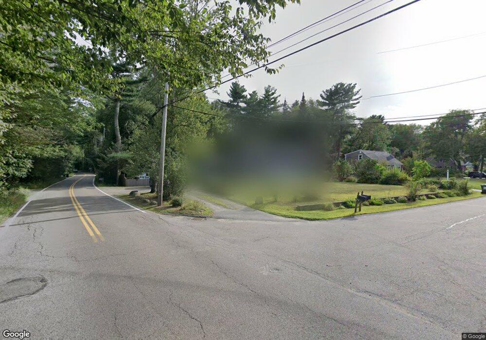
1 Spring St Norfolk, MA 02056
Estimated Value: $657,490 - $805,000
4
Beds
2
Baths
2,112
Sq Ft
$339/Sq Ft
Est. Value
About This Home
This home is located at 1 Spring St, Norfolk, MA 02056 and is currently estimated at $716,123, approximately $339 per square foot. 1 Spring St is a home located in Norfolk County with nearby schools including H. Olive Day School, Freeman-Kennedy School, and Woodside Montessori Academy.
Ownership History
Date
Name
Owned For
Owner Type
Purchase Details
Closed on
Dec 28, 2020
Sold by
Omalley Sean P and Omalley Jennifer A
Bought by
Omalley Ret
Current Estimated Value
Purchase Details
Closed on
Nov 22, 2011
Sold by
Burke Nancy E
Bought by
Leary Jennifer A and Omalley Sean P
Home Financials for this Owner
Home Financials are based on the most recent Mortgage that was taken out on this home.
Original Mortgage
$329,591
Interest Rate
3.92%
Mortgage Type
Purchase Money Mortgage
Create a Home Valuation Report for This Property
The Home Valuation Report is an in-depth analysis detailing your home's value as well as a comparison with similar homes in the area
Home Values in the Area
Average Home Value in this Area
Purchase History
| Date | Buyer | Sale Price | Title Company |
|---|---|---|---|
| Omalley Ret | -- | None Available | |
| Leary Jennifer A | $323,000 | -- |
Source: Public Records
Mortgage History
| Date | Status | Borrower | Loan Amount |
|---|---|---|---|
| Previous Owner | Leary Jennifer A | $329,591 |
Source: Public Records
Tax History
| Year | Tax Paid | Tax Assessment Tax Assessment Total Assessment is a certain percentage of the fair market value that is determined by local assessors to be the total taxable value of land and additions on the property. | Land | Improvement |
|---|---|---|---|---|
| 2025 | $8,700 | $544,800 | $192,900 | $351,900 |
| 2024 | $8,296 | $532,800 | $192,900 | $339,900 |
| 2023 | $8,006 | $487,900 | $192,900 | $295,000 |
| 2022 | $7,526 | $413,500 | $180,600 | $232,900 |
| 2021 | $7,266 | $403,900 | $175,300 | $228,600 |
| 2020 | $6,958 | $373,300 | $159,200 | $214,100 |
| 2019 | $6,711 | $366,900 | $159,200 | $207,700 |
| 2018 | $6,476 | $347,800 | $159,200 | $188,600 |
| 2017 | $6,384 | $350,400 | $159,200 | $191,200 |
| 2016 | $5,956 | $329,400 | $159,200 | $170,200 |
| 2015 | $5,724 | $324,100 | $151,600 | $172,500 |
| 2014 | $5,618 | $322,300 | $151,600 | $170,700 |
Source: Public Records
Map
Nearby Homes
- 33 Boydes Crossing Unit 33
- 33 Boydes Crossing
- 118 Main St
- 3 Elliot Mills Unit 2
- 6 Elliot Mills Unit 31
- 92 Seekonk St
- 1187 West St
- 45 Meetinghouse Rd Unit 45
- 4 Haydn Ln
- 12 Brookside Ln
- 7 Keeney Pond Rd
- 37 Thomas Mann Cir Unit 23
- 27 Thomas Mann Cir Unit 18
- 45 Thomas Mann Cir Unit 27
- 26 Thomas Mann Cir Unit 37
- 49 Thomas Mann Cir Unit 29
- 44 Thomas Mann Cir Unit 40
- 533 Lincoln Rd
- 53 Thomas Mann Cir Unit 31
- 18 Keeney Pond Rd
Your Personal Tour Guide
Ask me questions while you tour the home.