1 Stratton Dr Moorestown, NJ 08057
Estimated Value: $1,263,972 - $1,680,000
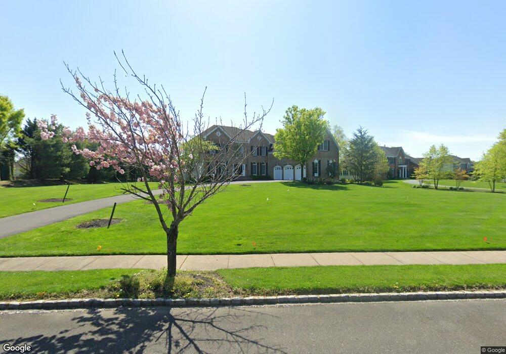
About This Home
This home is located at 1 Stratton Dr, Moorestown, NJ 08057 and is currently estimated at $1,425,991, approximately $324 per square foot. 1 Stratton Dr is a home located in Burlington County with nearby schools including South Valley Elementary School, Moorestown Upper Elementary School, and William Allen Middle School.
Ownership History
We collect this data history from publicly available records. To have your information removed, we recommend requesting removal directly through your county’s website.
Purchase Details
Home Financials for this Owner
Home Financials are based on the most recent Mortgage that was taken out on this home.Home Values in the Area
Average Home Value in this Area
Purchase History
We collect this data history from publicly available records. To have your information removed, we recommend requesting removal directly through your county’s website.
| Date | Buyer | Sale Price | Title Company |
|---|---|---|---|
| $662,067 | -- |
Mortgage History
We collect this data history from publicly available records. To have your information removed, we recommend requesting removal directly through your county’s website.
| Date | Status | Borrower | Loan Amount |
|---|---|---|---|
| Open | $375,000 |
Tax History
We collect this data history from publicly available records. To have your information removed, we recommend requesting removal directly through your county’s website.
| Year | Tax Paid | Tax Assessment Tax Assessment Total Assessment is a certain percentage of the fair market value that is determined by local assessors to be the total taxable value of land and additions on the property. | Land | Improvement |
|---|---|---|---|---|
| 2025 | $23,124 | $815,100 | $238,800 | $576,300 |
| 2024 | $22,423 | $815,100 | $238,800 | $576,300 |
| 2023 | $22,423 | $815,100 | $238,800 | $576,300 |
| 2022 | $22,195 | $815,100 | $238,800 | $576,300 |
| 2021 | $21,902 | $815,100 | $238,800 | $576,300 |
| 2020 | $21,763 | $815,100 | $238,800 | $576,300 |
| 2019 | $21,380 | $815,100 | $238,800 | $576,300 |
| 2018 | $20,801 | $815,100 | $238,800 | $576,300 |
| 2017 | $20,981 | $815,100 | $238,800 | $576,300 |
| 2016 | $20,907 | $815,100 | $238,800 | $576,300 |
| 2015 | $20,655 | $815,100 | $238,800 | $576,300 |
| 2014 | $19,611 | $815,100 | $238,800 | $576,300 |
Map
- 712 Kimberly Dr
- 740 Garwood Rd
- 697 Garwood Rd
- 101 Congressional Ct
- 115 Congressional Ct
- 870 Cox Rd
- 11 Winterberry Place
- 720 Mcelwee Rd
- 606 Mcelwee Rd Unit RD2
- 68 Foxglove Dr Unit 68
- 901 Mcelwee Rd
- 54 Foxglove Dr Unit CO54
- 44 Foxglove Dr Unit CO44
- 26 Foxglove Dr Unit 26
- 27 Foxglove Dr Unit 27
- 19 Foxglove Dr Unit 19
- 305 Hidden Acres Ln
- 18 Apple Orchard Rd
- 0 0 Swarthmore Dr
- 203 Congressional Ct
- 718 Bentley Ct
- 722 Bentley Ct
- 700 Kimberly Dr
- 735 Hartford Rd Unit RD2
- 713 Bentley Ct
- 714 Bentley Ct
- 739 Hartford Rd Unit RD2
- 701 Kimberly Dr
- 717 Bentley Ct
- 709 Bentley Ct
- 726 Bentley Ct
- 710 Bentley Ct
- 755 Hartford Rd
- 705 Bentley Ct
- 708 Kimberly Dr
- 705 Kimberly Dr
- 721 Bentley Ct
- 651 Hartford Rd Unit RD2
- 751 Hartford Rd
- 730 Bentley Ct
Ask me questions while you tour the home.