1 Vito Ct Rowley, MA 01969
Estimated Value: $370,000 - $660,000
2
Beds
2
Baths
1,457
Sq Ft
$382/Sq Ft
Est. Value
About This Home
This home is located at 1 Vito Ct, Rowley, MA 01969 and is currently estimated at $556,792, approximately $382 per square foot. 1 Vito Ct is a home located in Essex County with nearby schools including Triton Regional High School, Clark School, and North Shore Montessori School.
Ownership History
Date
Name
Owned For
Owner Type
Purchase Details
Closed on
Nov 13, 2020
Sold by
Pelletier Jeannine and Pelletier John
Bought by
Pelletier Ft
Current Estimated Value
Purchase Details
Closed on
Jun 1, 2006
Sold by
Pingree Farms Llc
Bought by
Pelletier John and Pelletier Jeannine A
Home Financials for this Owner
Home Financials are based on the most recent Mortgage that was taken out on this home.
Original Mortgage
$375,000
Interest Rate
6.55%
Mortgage Type
Purchase Money Mortgage
Create a Home Valuation Report for This Property
The Home Valuation Report is an in-depth analysis detailing your home's value as well as a comparison with similar homes in the area
Home Values in the Area
Average Home Value in this Area
Purchase History
| Date | Buyer | Sale Price | Title Company |
|---|---|---|---|
| Pelletier Ft | -- | None Available | |
| Pelletier John | $469,900 | -- |
Source: Public Records
Mortgage History
| Date | Status | Borrower | Loan Amount |
|---|---|---|---|
| Previous Owner | Pelletier John | $375,000 |
Source: Public Records
Tax History
| Year | Tax Paid | Tax Assessment Tax Assessment Total Assessment is a certain percentage of the fair market value that is determined by local assessors to be the total taxable value of land and additions on the property. | Land | Improvement |
|---|---|---|---|---|
| 2025 | $6,322 | $537,100 | $0 | $537,100 |
| 2024 | $6,440 | $532,200 | $0 | $532,200 |
| 2023 | $6,658 | $511,400 | $0 | $511,400 |
| 2022 | $6,611 | $452,200 | $0 | $452,200 |
| 2021 | $6,861 | $440,400 | $0 | $440,400 |
| 2020 | $6,419 | $412,000 | $0 | $412,000 |
| 2019 | $5,743 | $391,200 | $0 | $391,200 |
| 2018 | $5,309 | $364,100 | $0 | $364,100 |
| 2017 | $4,798 | $339,300 | $0 | $339,300 |
| 2016 | $4,803 | $334,500 | $0 | $334,500 |
| 2015 | $4,461 | $313,300 | $0 | $313,300 |
Source: Public Records
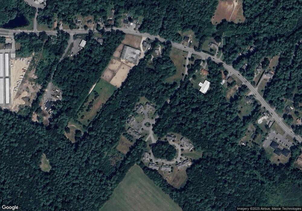
Map
Nearby Homes
Your Personal Tour Guide
Ask me questions while you tour the home.