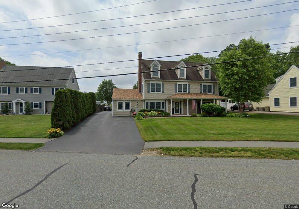
1 Waring Rd Natick, MA 01760
Estimated Value: $1,260,000 - $1,613,000
4
Beds
3
Baths
3,262
Sq Ft
$438/Sq Ft
Est. Value
About This Home
This home is located at 1 Waring Rd, Natick, MA 01760 and is currently estimated at $1,429,203, approximately $438 per square foot. 1 Waring Rd is a home located in Middlesex County with nearby schools including Natick High School, Bennett-Hemenway (Ben-Hem) Elementary School, and Wilson Middle School.
Ownership History
Date
Name
Owned For
Owner Type
Purchase Details
Closed on
Nov 17, 1993
Sold by
Catherine Hickey T
Bought by
Donahue Mary A and Donahue Kevin M
Current Estimated Value
Create a Home Valuation Report for This Property
The Home Valuation Report is an in-depth analysis detailing your home's value as well as a comparison with similar homes in the area
Home Values in the Area
Average Home Value in this Area
Purchase History
| Date | Buyer | Sale Price | Title Company |
|---|---|---|---|
| Donahue Mary A | $140,000 | -- |
Source: Public Records
Mortgage History
| Date | Status | Borrower | Loan Amount |
|---|---|---|---|
| Open | Donahue Mary A | $400,700 | |
| Closed | Donahue Mary A | $138,500 | |
| Closed | Donahue Mary A | $413,450 |
Source: Public Records
Tax History
| Year | Tax Paid | Tax Assessment Tax Assessment Total Assessment is a certain percentage of the fair market value that is determined by local assessors to be the total taxable value of land and additions on the property. | Land | Improvement |
|---|---|---|---|---|
| 2025 | $14,125 | $1,181,000 | $457,900 | $723,100 |
| 2024 | $13,634 | $1,112,100 | $432,500 | $679,600 |
| 2023 | $13,095 | $1,036,000 | $406,300 | $629,700 |
| 2022 | $12,685 | $950,900 | $370,100 | $580,800 |
| 2021 | $11,585 | $851,200 | $349,900 | $501,300 |
| 2020 | $11,377 | $835,900 | $334,600 | $501,300 |
| 2019 | $10,624 | $835,900 | $334,600 | $501,300 |
| 2018 | $10,065 | $771,300 | $304,200 | $467,100 |
| 2017 | $9,834 | $729,000 | $270,300 | $458,700 |
| 2016 | $9,631 | $709,700 | $255,300 | $454,400 |
| 2015 | $9,279 | $671,400 | $255,300 | $416,100 |
Source: Public Records
Map
Nearby Homes
- 278 N Main St
- 6 Cypress Rd
- 14 Drury Ln
- 6 Ash St
- 50 Wethersfield Rd
- 48 Wethersfield Rd
- 340 N Main St
- 5 Bradford Rd
- 4 Richard Rd
- 1 Richard Rd
- 29 Irving Rd
- 25 Irving Rd
- 8 Liberty St
- 136 Commonwealth Rd
- 5 Loker St
- 13 Shawmut Avenue Extension
- 78 E Plain St
- 7 Jackson Ct Unit B
- 45 W Plain St Unit 1
- 210 Bacon St
Your Personal Tour Guide
Ask me questions while you tour the home.