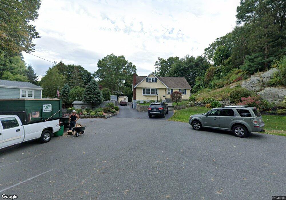
1 Windsor Rd Stoneham, MA 02180
Haywardville NeighborhoodEstimated Value: $884,000 - $955,000
3
Beds
2
Baths
1,969
Sq Ft
$459/Sq Ft
Est. Value
About This Home
This home is located at 1 Windsor Rd, Stoneham, MA 02180 and is currently estimated at $904,499, approximately $459 per square foot. 1 Windsor Rd is a home located in Middlesex County with nearby schools including Stoneham High School, Mystic Valley Regional Charter School, and Pioneer Charter School Of Science II.
Ownership History
Date
Name
Owned For
Owner Type
Purchase Details
Closed on
Jun 30, 1988
Sold by
Archdeacon John P
Bought by
Puglia Thomas J
Current Estimated Value
Home Financials for this Owner
Home Financials are based on the most recent Mortgage that was taken out on this home.
Original Mortgage
$80,000
Interest Rate
10.47%
Mortgage Type
Purchase Money Mortgage
Create a Home Valuation Report for This Property
The Home Valuation Report is an in-depth analysis detailing your home's value as well as a comparison with similar homes in the area
Home Values in the Area
Average Home Value in this Area
Purchase History
| Date | Buyer | Sale Price | Title Company |
|---|---|---|---|
| Puglia Thomas J | $230,000 | -- |
Source: Public Records
Mortgage History
| Date | Status | Borrower | Loan Amount |
|---|---|---|---|
| Open | Puglia Thomas J | $352,762 | |
| Closed | Puglia Thomas J | $80,000 |
Source: Public Records
Tax History
| Year | Tax Paid | Tax Assessment Tax Assessment Total Assessment is a certain percentage of the fair market value that is determined by local assessors to be the total taxable value of land and additions on the property. | Land | Improvement |
|---|---|---|---|---|
| 2025 | $8,007 | $782,700 | $420,900 | $361,800 |
| 2024 | $7,825 | $738,900 | $400,900 | $338,000 |
| 2023 | $7,491 | $674,900 | $360,900 | $314,000 |
| 2022 | $6,623 | $636,200 | $340,900 | $295,300 |
| 2021 | $6,603 | $610,300 | $320,900 | $289,400 |
| 2020 | $6,377 | $591,000 | $310,900 | $280,100 |
| 2019 | $6,052 | $539,400 | $276,400 | $263,000 |
| 2018 | $6,014 | $513,600 | $257,400 | $256,200 |
| 2017 | $5,730 | $462,500 | $247,900 | $214,600 |
| 2016 | $5,452 | $429,300 | $228,900 | $200,400 |
| 2015 | $5,338 | $411,900 | $228,900 | $183,000 |
| 2014 | $5,210 | $386,200 | $209,900 | $176,300 |
Source: Public Records
Map
Nearby Homes
- 53 Perkins St
- 833 Franklin St
- 177 Franklin St Unit 2
- 35 Maple Rd
- 33 Lake Ave
- 611 Franklin St
- 159 Franklin St Unit D2
- 159 Franklin St Unit C2
- 159 Franklin St Unit E6
- 129 Greenwood St
- 17 Franklin St
- 24 Ellsworth Ave
- 26 Poplar St
- 137 Franklin St Unit 406
- 43-51 Albion St Unit C9
- 31 Tamarock Terrace
- 11 Ludlow Ave
- 62 Vinton St Unit 4
- 62 Maple St
- 300 Park Terrace Dr Unit 354
- 3 Windsor Rd
- 5 Martin Louis Way
- 3 Martin Louis Way
- 21 Stonewood Ave
- 51 Perkins St
- 5 Windsor Rd
- 12 Stockwell Rd
- 49 Perkins St
- 59 Perkins St
- 59 Perkins St Unit 59
- 7 Windsor Rd
- 6 Windsor Rd
- 9 Windsor Rd
- 18 Stonewood Ave
- 19 Stonewood Ave
- 47 Perkins St
- 54 Perkins St
- 8 Martin Louis Way
- 4 Martin Louis Way
- 50 Perkins St
Your Personal Tour Guide
Ask me questions while you tour the home.