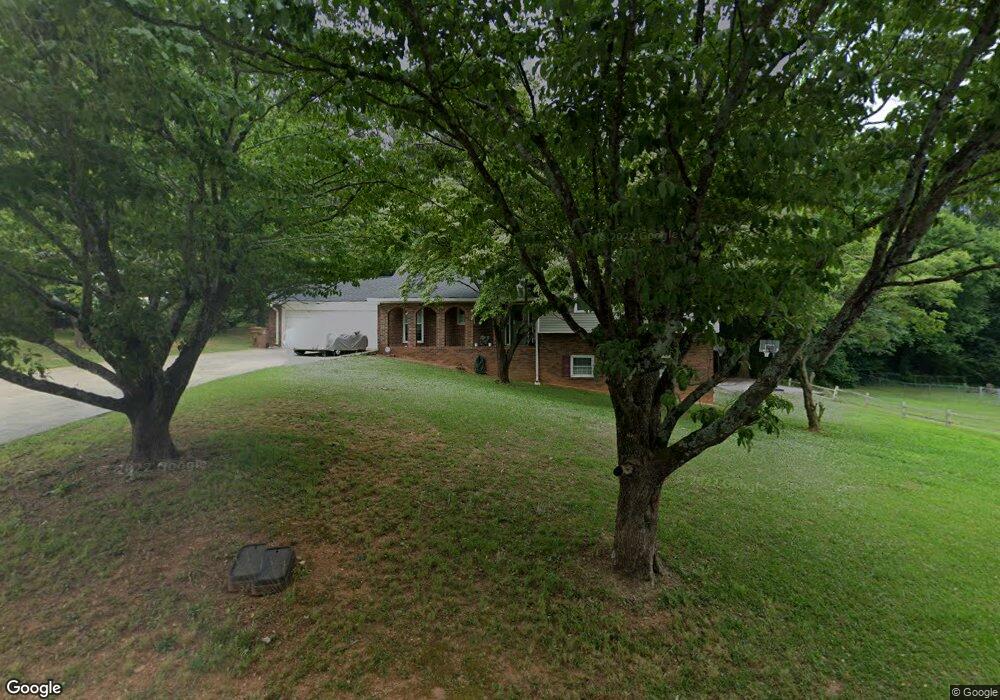
10 Benham Cir Cartersville, GA 30120
Estimated Value: $293,000 - $317,000
3
Beds
3
Baths
1,514
Sq Ft
$201/Sq Ft
Est. Value
About This Home
This home is located at 10 Benham Cir, Cartersville, GA 30120 and is currently estimated at $303,649, approximately $200 per square foot. 10 Benham Cir is a home located in Bartow County with nearby schools including Cartersville Primary School, Cartersville Elementary School, and Cartersville Middle School.
Ownership History
Date
Name
Owned For
Owner Type
Purchase Details
Closed on
Dec 21, 2018
Sold by
Powell Scott
Bought by
Powell Dewey Scott and Powell Misty Nicole
Current Estimated Value
Home Financials for this Owner
Home Financials are based on the most recent Mortgage that was taken out on this home.
Original Mortgage
$115,000
Outstanding Balance
$71,427
Interest Rate
4.8%
Mortgage Type
New Conventional
Estimated Equity
$232,222
Purchase Details
Closed on
Sep 16, 2018
Sold by
May Eric M
Bought by
May Julia K
Create a Home Valuation Report for This Property
The Home Valuation Report is an in-depth analysis detailing your home's value as well as a comparison with similar homes in the area
Home Values in the Area
Average Home Value in this Area
Purchase History
| Date | Buyer | Sale Price | Title Company |
|---|---|---|---|
| Powell Dewey Scott | -- | -- | |
| May Julia K | -- | -- |
Source: Public Records
Mortgage History
| Date | Status | Borrower | Loan Amount |
|---|---|---|---|
| Open | Powell Dewey Scott | $115,000 |
Source: Public Records
Tax History
| Year | Tax Paid | Tax Assessment Tax Assessment Total Assessment is a certain percentage of the fair market value that is determined by local assessors to be the total taxable value of land and additions on the property. | Land | Improvement |
|---|---|---|---|---|
| 2025 | $2,304 | $98,328 | $22,400 | $75,928 |
| 2024 | $2,304 | $98,328 | $22,400 | $75,928 |
| 2023 | $2,391 | $98,049 | $22,400 | $75,649 |
| 2022 | $1,896 | $75,145 | $18,000 | $57,145 |
| 2021 | $1,680 | $65,388 | $18,000 | $47,388 |
| 2020 | $1,795 | $65,388 | $18,000 | $47,388 |
| 2019 | $1,545 | $55,056 | $12,000 | $43,056 |
| 2018 | $1,492 | $52,846 | $12,000 | $40,846 |
| 2017 | $1,525 | $52,846 | $12,000 | $40,846 |
| 2016 | $1,225 | $42,120 | $10,000 | $32,120 |
| 2015 | $1,197 | $42,120 | $10,000 | $32,120 |
| 2014 | $1,095 | $37,840 | $10,000 | $27,840 |
| 2013 | -- | $37,840 | $10,000 | $27,840 |
Source: Public Records
Map
Nearby Homes
- 30 Grove Cir
- 21 Ember Way
- 212 Meadow Ln
- 506 Cassville Rd
- 27 Cotton Bend
- 303 Iron Belt Ct
- 38 Middleton Ct
- 24 E Iron Belt Rd SE
- 170 Parr Wade Rd SE
- 17 Middlebrook Dr
- 73 Cotton Bend
- 37 Middlebrook Dr
- 38 Brookwood Dr
- 13 Parr Wade Rd SE
- 14 Parr Wade Rd SE
- 4 Miles Dr
- 20 Wesley Trace SE
- 172 Mercer Ln
- 101 Marion Dr
- 0 Joe Frank Harris Pkwy SE Unit 7284313
Your Personal Tour Guide
Ask me questions while you tour the home.