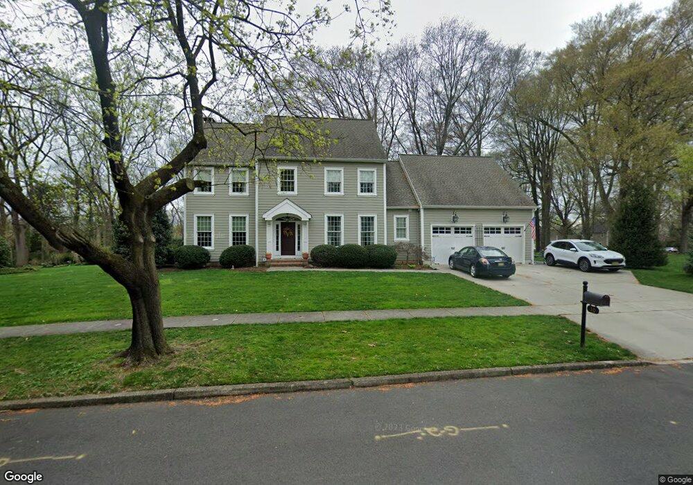
10 Circle Dr Moorestown, NJ 08057
Estimated Value: $720,000 - $932,000
About This Home
This home is located at 10 Circle Dr, Moorestown, NJ 08057 and is currently estimated at $833,203, approximately $324 per square foot. 10 Circle Dr is a home with nearby schools including Mary E. Roberts Elementary School, Moorestown Upper Elementary School, and William Allen Middle School.
Ownership History
We collect this data history from publicly available records. To have your information removed, we recommend requesting removal directly through your county’s website.
Purchase Details
Home Financials for this Owner
Home Financials are based on the most recent Mortgage that was taken out on this home.Home Values in the Area
Average Home Value in this Area
Purchase History
We collect this data history from publicly available records. To have your information removed, we recommend requesting removal directly through your county’s website.
| Date | Buyer | Sale Price | Title Company |
|---|---|---|---|
| $185,000 | None Available |
Mortgage History
We collect this data history from publicly available records. To have your information removed, we recommend requesting removal directly through your county’s website.
| Date | Status | Borrower | Loan Amount |
|---|---|---|---|
| Open | $325,000 |
Tax History
We collect this data history from publicly available records. To have your information removed, we recommend requesting removal directly through your county’s website.
| Year | Tax Paid | Tax Assessment Tax Assessment Total Assessment is a certain percentage of the fair market value that is determined by local assessors to be the total taxable value of land and additions on the property. | Land | Improvement |
|---|---|---|---|---|
| 2025 | $13,084 | $461,200 | $170,900 | $290,300 |
| 2024 | $12,688 | $461,200 | $170,900 | $290,300 |
| 2023 | $12,688 | $461,200 | $170,900 | $290,300 |
| 2022 | $12,558 | $461,200 | $170,900 | $290,300 |
| 2021 | $12,392 | $461,200 | $170,900 | $290,300 |
| 2020 | $12,314 | $461,200 | $170,900 | $290,300 |
| 2019 | $12,097 | $461,200 | $170,900 | $290,300 |
| 2018 | $11,770 | $461,200 | $170,900 | $290,300 |
| 2017 | $11,871 | $461,200 | $170,900 | $290,300 |
| 2016 | $11,830 | $461,200 | $170,900 | $290,300 |
| 2015 | $11,687 | $461,200 | $170,900 | $290,300 |
| 2014 | $11,096 | $461,200 | $170,900 | $290,300 |
Map
- 12 Circle Dr
- 93 Westbrook Dr
- 3 Overbrook Cir
- 444 Shady Ln
- 52 Westbrook Dr
- 320 W 3rd St
- 36 Eraser Rd
- 400 Pleasant Valley Ave
- 27 S Lenola Rd
- 338 Clark Ave
- 419 Edgemoor Dr
- 10 S Lenola Rd
- 308 Kenwood Dr
- 543 Bethel Ave
- 11 Errickson Ave
- 10 N Close Unit 10N
- 129 S Church St
- 213 S Church St
- 9 Haines Dr
- 421 Irving Ave
Ask me questions while you tour the home.