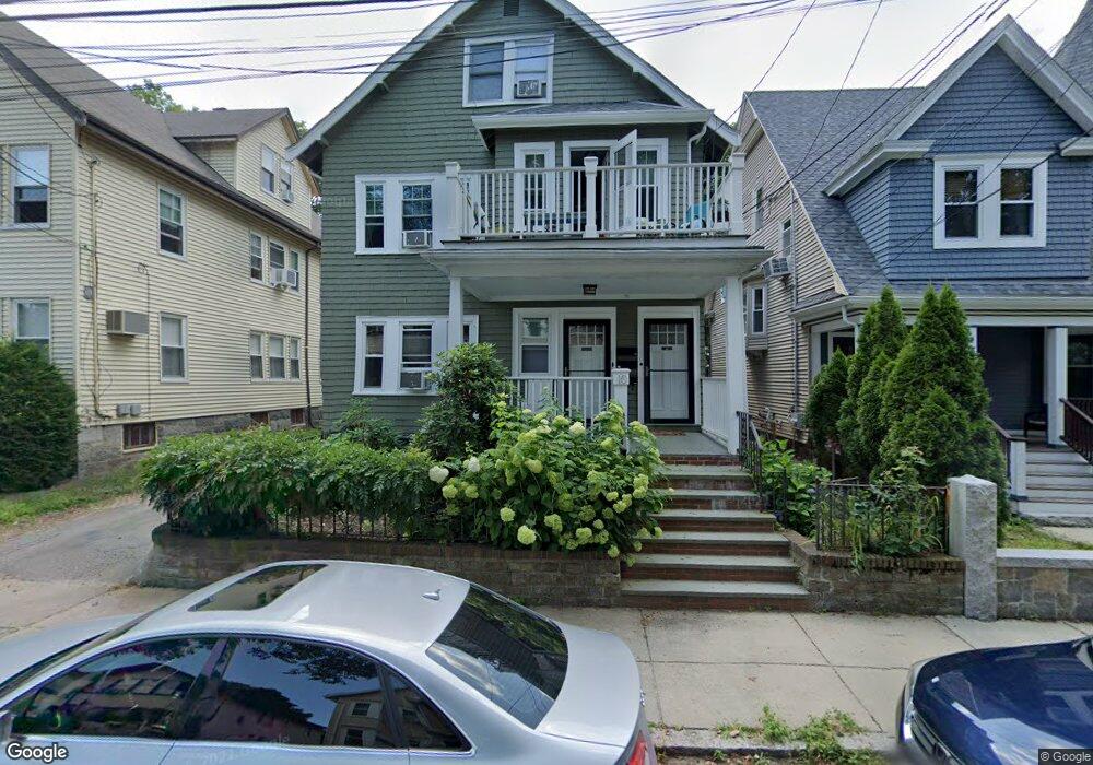
10 Dent St West Roxbury, MA 02132
West Roxbury NeighborhoodEstimated Value: $1,115,580
8
Beds
4
Baths
2,871
Sq Ft
$389/Sq Ft
Est. Value
About This Home
This home is located at 10 Dent St, West Roxbury, MA 02132 and is currently estimated at $1,115,580, approximately $388 per square foot. 10 Dent St is a home located in Suffolk County with nearby schools including St Theresa School, Holy Name Parish School, and Catholic Memorial School.
Ownership History
Date
Name
Owned For
Owner Type
Purchase Details
Closed on
Feb 18, 2009
Sold by
Dent Street Ret
Bought by
Cullen Rose
Current Estimated Value
Home Financials for this Owner
Home Financials are based on the most recent Mortgage that was taken out on this home.
Original Mortgage
$457,875
Outstanding Balance
$288,812
Interest Rate
5.06%
Mortgage Type
Purchase Money Mortgage
Estimated Equity
$826,768
Purchase Details
Closed on
Feb 10, 2004
Sold by
Luz John J
Bought by
John J Luz 2003 Ret
Create a Home Valuation Report for This Property
The Home Valuation Report is an in-depth analysis detailing your home's value as well as a comparison with similar homes in the area
Home Values in the Area
Average Home Value in this Area
Purchase History
| Date | Buyer | Sale Price | Title Company |
|---|---|---|---|
| Cullen Rose | $500,000 | -- | |
| John J Luz 2003 Ret | -- | -- |
Source: Public Records
Mortgage History
| Date | Status | Borrower | Loan Amount |
|---|---|---|---|
| Open | Cullen Rose | $457,875 | |
| Previous Owner | John J Luz 2003 Ret | $128,000 |
Source: Public Records
Tax History
| Year | Tax Paid | Tax Assessment Tax Assessment Total Assessment is a certain percentage of the fair market value that is determined by local assessors to be the total taxable value of land and additions on the property. | Land | Improvement |
|---|---|---|---|---|
| 2025 | $0 | $0 | $0 | $0 |
| 2024 | $0 | $0 | $0 | $0 |
| 2023 | $0 | $0 | $0 | $0 |
| 2022 | $7,857 | $0 | $0 | $0 |
| 2021 | $0 | $0 | $0 | $0 |
| 2020 | $0 | $0 | $0 | $0 |
| 2019 | $7,857 | $0 | $0 | $0 |
| 2018 | $7,857 | $749,700 | $196,500 | $553,200 |
| 2017 | $1,344 | $713,700 | $196,500 | $517,200 |
| 2016 | $7,337 | $667,000 | $196,500 | $470,500 |
| 2015 | $6,365 | $525,600 | $180,400 | $345,200 |
| 2014 | $6,237 | $495,800 | $180,400 | $315,400 |
Source: Public Records
Map
Nearby Homes
- 481 Lagrange St
- 425 Lagrange St Unit 203
- 183 Temple St
- 95 Landseer St Unit 2
- 95 Landseer St
- 95 Landseer St Unit 1
- 116 Spring St Unit D2
- 7 Long Terrace
- 15 Cass St Unit 3
- 10 Earnshaw St
- 1216 Vfw Pkwy Unit 40
- 63 Johnson St
- 1210 Vfw Pkwy Unit 11
- 1210 Vfw Pkwy Unit 12
- 76 Vermont St
- 99 Vermont St
- 990 Vfw Pkwy Unit 204
- 11 Myles Standish Rd
- 34 Addington Rd
- 12 Brier Rd
Your Personal Tour Guide
Ask me questions while you tour the home.