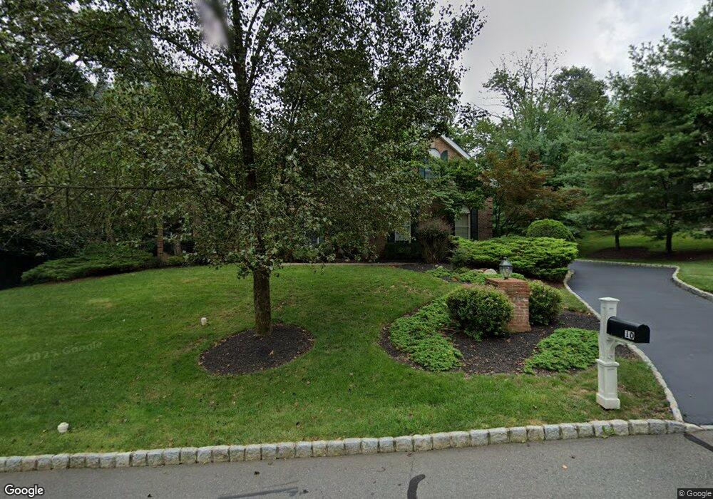
10 Devon Ct Basking Ridge, NJ 07920
Estimated Value: $1,728,000 - $1,871,000
About This Home
This home is located at 10 Devon Ct, Basking Ridge, NJ 07920 and is currently estimated at $1,782,708, approximately $462 per square foot. 10 Devon Ct is a home located in Somerset County with nearby schools including Mount Prospect Elementary School, William Annin Middle School, and Ridge High School.
Ownership History
We collect this data history from publicly available records. To have your information removed, we recommend requesting removal directly through your county’s website.
Purchase Details
Purchase Details
Purchase Details
Home Financials for this Owner
Home Financials are based on the most recent Mortgage that was taken out on this home.Home Values in the Area
Average Home Value in this Area
Purchase History
We collect this data history from publicly available records. To have your information removed, we recommend requesting removal directly through your county’s website.
| Date | Buyer | Sale Price | Title Company |
|---|---|---|---|
| -- | None Listed On Document | ||
| -- | None Listed On Document | ||
| -- | None Available | ||
| $597,443 | -- |
Mortgage History
We collect this data history from publicly available records. To have your information removed, we recommend requesting removal directly through your county’s website.
| Date | Status | Borrower | Loan Amount |
|---|---|---|---|
| Previous Owner | $300,000 |
Tax History
We collect this data history from publicly available records. To have your information removed, we recommend requesting removal directly through your county’s website.
| Year | Tax Paid | Tax Assessment Tax Assessment Total Assessment is a certain percentage of the fair market value that is determined by local assessors to be the total taxable value of land and additions on the property. | Land | Improvement |
|---|---|---|---|---|
| 2025 | $24,210 | $1,523,900 | $478,900 | $1,045,000 |
| 2024 | $24,210 | $1,360,900 | $403,900 | $957,000 |
| 2023 | $23,907 | $1,267,600 | $403,900 | $863,700 |
| 2022 | $23,026 | $1,145,000 | $403,900 | $741,100 |
| 2021 | $22,320 | $1,057,800 | $388,900 | $668,900 |
| 2020 | $23,455 | $1,120,100 | $388,900 | $731,200 |
| 2019 | $23,702 | $1,165,300 | $388,900 | $776,400 |
| 2018 | $23,491 | $1,171,600 | $395,200 | $776,400 |
| 2017 | $23,228 | $1,167,800 | $395,200 | $772,600 |
| 2016 | $22,179 | $1,136,800 | $388,900 | $747,900 |
| 2015 | $22,396 | $1,168,900 | $415,200 | $753,700 |
| 2014 | $22,661 | $1,171,700 | $436,000 | $735,700 |
Map
- 82 Woodman Ln
- 115 Constitution Way
- 25 Sullivan Dr
- 118 Patriot Hill Dr
- 20 Hopkinson Ct
- 59 Ramapo Dr
- 47 Ramapo Dr
- 9 Knox Ct
- 49 Liberty Corner Rd
- 6 Clark Ct
- 72 Dorchester Dr
- 24 Benedict Crescent
- 10 Raleigh Ct
- 6 Dorchester Dr
- 13 Battalion Dr
- 184 Smoke Rise Rd
- 16 Landau Rd
- 1101 Washington Valley Rd
- 10 Deer Ridge Rd
- 48 Huntington Rd
- 93 Independence Dr
- 9 Devon Ct
- 85 Independence Dr
- 75 Independence Dr
- 97 Independence Dr
- 16 Devon Ct
- 63 Independence Dr
- 19 Devon Ct
- 47 Independence Dr
- 41 Independence Dr
- 55 Independence Dr
- 103 Independence Dr
- 96 Independence Dr
- 35 Independence Dr
- 82 Independence Dr
- 72 Independence Dr
- 78 Independence Dr
- 86 Independence Dr
- 7 Independence Dr
- 5 Independence Dr
Ask me questions while you tour the home.