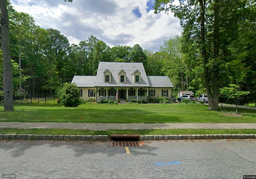
10 Eagle Nest Rd Newton, NJ 07860
Estimated Value: $648,000 - $835,000
Studio
--
Bath
2,440
Sq Ft
$295/Sq Ft
Est. Value
About This Home
This home is located at 10 Eagle Nest Rd, Newton, NJ 07860 and is currently estimated at $719,645, approximately $294 per square foot. 10 Eagle Nest Rd is a home located in Sussex County with nearby schools including Green Hills School and Tranquility Adventist School.
Ownership History
Date
Name
Owned For
Owner Type
Purchase Details
Closed on
Sep 30, 2004
Sold by
Forest Knoll Llc
Bought by
Corcoran John W and Corcoran Elizabeth M
Current Estimated Value
Home Financials for this Owner
Home Financials are based on the most recent Mortgage that was taken out on this home.
Original Mortgage
$283,000
Outstanding Balance
$140,437
Interest Rate
5.8%
Mortgage Type
Purchase Money Mortgage
Estimated Equity
$579,208
Create a Home Valuation Report for This Property
The Home Valuation Report is an in-depth analysis detailing your home's value as well as a comparison with similar homes in the area
Home Values in the Area
Average Home Value in this Area
Purchase History
| Date | Buyer | Sale Price | Title Company |
|---|---|---|---|
| Corcoran John W | $450,400 | -- |
Source: Public Records
Mortgage History
| Date | Status | Borrower | Loan Amount |
|---|---|---|---|
| Open | Corcoran John W | $283,000 |
Source: Public Records
Tax History
| Year | Tax Paid | Tax Assessment Tax Assessment Total Assessment is a certain percentage of the fair market value that is determined by local assessors to be the total taxable value of land and additions on the property. | Land | Improvement |
|---|---|---|---|---|
| 2025 | $15,447 | $656,000 | $189,900 | $466,100 |
| 2024 | $15,336 | $396,900 | $129,700 | $267,200 |
Source: Public Records
Map
Nearby Homes
- 37 Pequest Rd
- 83 Creek Rd
- 2 Stone Forge Rd
- 14 Misty Ln
- 112 Kennedy Rd
- 26 Fox Hollow Way
- 15 Mountainview Dr
- 10 Sunny Ln
- 10 Old Forge Rd
- 96 Brighton Rd
- 0 Decker Pond Airport Rd Unit 3945534
- 8 Spring Hunter Ct
- 155 Wintermute Rd
- 8 Huntsville Rd
- 488 Ridge Rd
- 84 Yellow Frame Rd
- 569 Ervey Rd
- 21 Greendale Rd
- 661 U S Highway 206
- 17 High St
- 12 Eagles Nest Rd
- 12 Eagles Nest Rd
- 8 Eagle Nest Rd
- 5 Fawn Hollow Dr
- 11 Eagles Nest Rd
- 11 Eagle Nest Rd
- 9 Eagle Nest Rd
- 3 Fawn Hollow Dr
- 16 Eagle Nest Rd
- 14 Eagle Nest Rd
- 7 Fawn Hollow Dr
- 15 Eagle Nest Rd
- 7 Eagle Nest Rd
- 7 Eagles Nest Rd
- 6 Eagle Nest Rd
- 16 Eagles Nest Rd
- 29 Fawn Hollow Dr
- 27 Fawn Hollow Dr
- 31 Fawn Hollow Dr
- 6 Eagles Nest Rd
Your Personal Tour Guide
Ask me questions while you tour the home.