10 Elphis Rd Biddeford, ME 04005
Fortunes Rocks NeighborhoodEstimated Value: $806,000 - $1,856,978
About This Home
This home is located at 10 Elphis Rd, Biddeford, ME 04005 and is currently estimated at $1,331,489, approximately $1,184 per square foot. 10 Elphis Rd is a home with nearby schools including John F Kennedy Memorial School, Biddeford Primary School, and Biddeford Intermediate School.
Ownership History
We collect this data history from publicly available records. To have your information removed, we recommend requesting removal directly through your county’s website.
Purchase Details
Purchase Details
Home Values in the Area
Average Home Value in this Area
Purchase History
We collect this data history from publicly available records. To have your information removed, we recommend requesting removal directly through your county’s website.
| Date | Buyer | Sale Price | Title Company |
|---|---|---|---|
| -- | -- | ||
| -- | -- |
Mortgage History
We collect this data history from publicly available records. To have your information removed, we recommend requesting removal directly through your county’s website.
| Date | Status | Borrower | Loan Amount |
|---|---|---|---|
| Previous Owner | $60,000 |
Tax History
We collect this data history from publicly available records. To have your information removed, we recommend requesting removal directly through your county’s website.
| Year | Tax Paid | Tax Assessment Tax Assessment Total Assessment is a certain percentage of the fair market value that is determined by local assessors to be the total taxable value of land and additions on the property. | Land | Improvement |
|---|---|---|---|---|
| 2025 | $24,080 | $1,611,800 | $1,452,600 | $159,200 |
| 2024 | $22,876 | $1,608,700 | $1,452,600 | $156,100 |
| 2023 | $21,055 | $1,604,800 | $1,448,700 | $156,100 |
| 2022 | $17,923 | $1,092,200 | $923,600 | $168,600 |
| 2021 | $17,020 | $933,600 | $788,500 | $145,100 |
| 2020 | $17,929 | $894,200 | $760,200 | $134,000 |
| 2019 | $17,866 | $894,200 | $760,200 | $134,000 |
| 2018 | $17,616 | $894,200 | $760,200 | $134,000 |
| 2017 | $17,613 | $877,600 | $760,200 | $117,400 |
| 2016 | $17,429 | $877,600 | $760,200 | $117,400 |
| 2015 | $17,087 | $877,600 | $760,200 | $117,400 |
| 2014 | $16,666 | $877,600 | $760,200 | $117,400 |
| 2013 | -- | $868,500 | $743,400 | $125,100 |
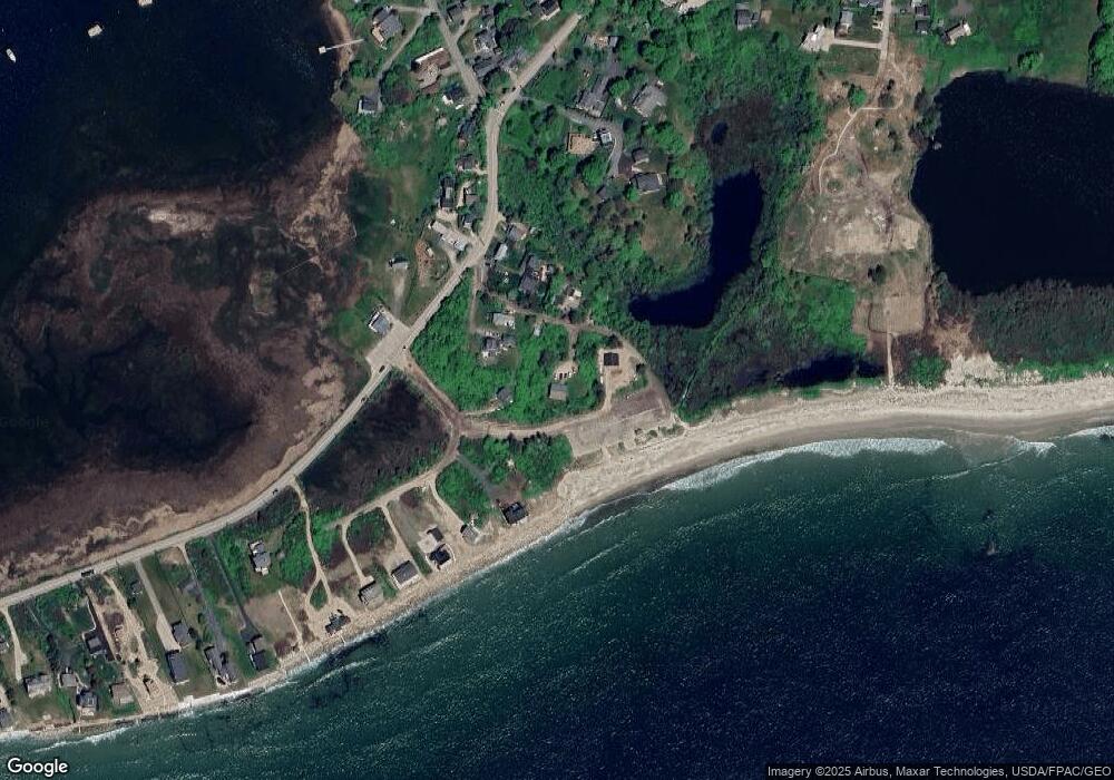
Map
- 114 Mile Stretch Rd
- 111 Mile Stretch Rd
- 12-14 Bayview Ave
- 99 Mile Stretch Rd
- 1 Bay St
- 52 Lester B Orcutt Blvd
- 1 St Martins Ln
- 1 Heron Cove
- 37 Fortunes Rocks Rd
- 8 Days Landing
- 71 Old Pool Rd
- 24 Maddox Pond Rd
- 88-90 Old Pool Rd
- 66 Old Pool Rd
- Lot 1 Longboard Ln
- Lot 2 Longboard Ln
- Lot 3 Longboard Ln
- Lot 7 Longboard Ln
- Lot 6 Longboard Ln
- 700 Pool St
- 8 Elphis Rd
- 5 Elphis Rd
- 1 Gilbert Place
- 3 Gilbert Place
- 116 Mile Stretch Rd
- 115 Mile Stretch Rd
- 118 Mile Stretch Rd
- 5 Gilbert Place
- 4 Lindsay Ln
- 109 Mile Stretch Rd
- 3 Lindsay Ln
- 120 Mile Stretch Rd
- 121 Mile Stretch Rd
- 122 Mile Stretch Rd
- 123 Mile Stretch Rd
- 11 Lester B Orcutt Blvd
- 13 Lester B Orcutt Blvd
- 9 Gilbert Place
- 1 Yates St
- 124 Mile Stretch Rd
Ask me questions while you tour the home.