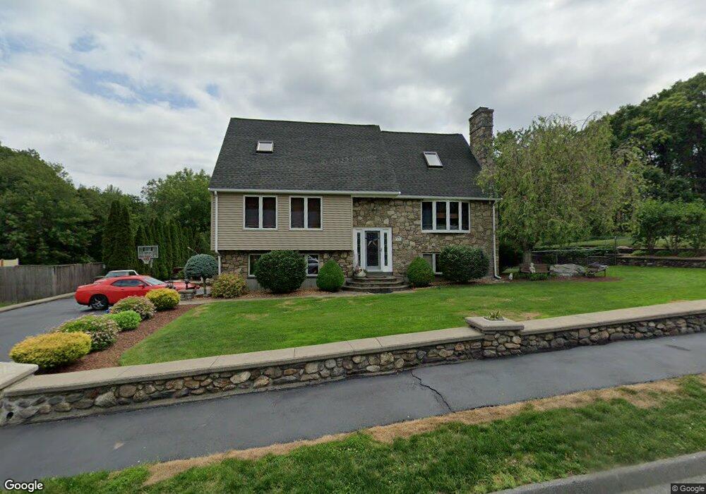
10 Flint Pond Rd Worcester, MA 01604
Broadmeadow Brook NeighborhoodEstimated Value: $561,897 - $641,000
3
Beds
3
Baths
1,796
Sq Ft
$335/Sq Ft
Est. Value
About This Home
This home is located at 10 Flint Pond Rd, Worcester, MA 01604 and is currently estimated at $601,474, approximately $334 per square foot. 10 Flint Pond Rd is a home located in Worcester County with nearby schools including Roosevelt Elementary School, Jacob Hiatt Magnet School, and Chandler Magnet.
Ownership History
Date
Name
Owned For
Owner Type
Purchase Details
Closed on
Apr 29, 1992
Sold by
Etre Ronald J
Bought by
Mattero Antonio M
Current Estimated Value
Home Financials for this Owner
Home Financials are based on the most recent Mortgage that was taken out on this home.
Original Mortgage
$80,000
Interest Rate
8.96%
Mortgage Type
Purchase Money Mortgage
Purchase Details
Closed on
Jul 3, 1991
Sold by
A P Etre Bldrs Inc
Bought by
Etre Ronald J
Create a Home Valuation Report for This Property
The Home Valuation Report is an in-depth analysis detailing your home's value as well as a comparison with similar homes in the area
Home Values in the Area
Average Home Value in this Area
Purchase History
We collect this data history from publicly available records. To have your information removed, we recommend requesting removal directly through your county’s website.
| Date | Buyer | Sale Price | Title Company |
|---|---|---|---|
| Mattero Antonio M | $150,000 | -- | |
| Etre Ronald J | $55,000 | -- |
Source: Public Records
Mortgage History
We collect this data history from publicly available records. To have your information removed, we recommend requesting removal directly through your county’s website.
| Date | Status | Borrower | Loan Amount |
|---|---|---|---|
| Open | Etre Ronald J | $78,000 | |
| Closed | Etre Ronald J | $80,000 |
Source: Public Records
Tax History
| Year | Tax Paid | Tax Assessment Tax Assessment Total Assessment is a certain percentage of the fair market value that is determined by local assessors to be the total taxable value of land and additions on the property. | Land | Improvement |
|---|---|---|---|---|
| 2025 | $6,748 | $511,600 | $124,600 | $387,000 |
| 2024 | $6,585 | $478,900 | $124,600 | $354,300 |
| 2023 | $6,343 | $442,300 | $107,300 | $335,000 |
| 2022 | $5,874 | $386,200 | $85,900 | $300,300 |
| 2021 | $5,810 | $356,900 | $68,800 | $288,100 |
| 2020 | $5,636 | $331,500 | $68,600 | $262,900 |
| 2019 | $5,663 | $314,600 | $66,400 | $248,200 |
| 2018 | $5,673 | $300,000 | $66,400 | $233,600 |
| 2017 | $5,412 | $281,600 | $66,400 | $215,200 |
| 2016 | $5,591 | $271,300 | $56,100 | $215,200 |
| 2015 | $5,445 | $271,300 | $56,100 | $215,200 |
| 2014 | $5,301 | $271,300 | $56,100 | $215,200 |
Source: Public Records
Map
Nearby Homes
- 22 Wildwood Rd
- 27 A-B Grafton St
- 2 Salisbury St
- 19 Marion Ave
- 1 Bay View Dr
- 1260 Grafton St
- 469 Lake Ave
- 41 Westview Ave
- 13 Pocasset St
- 3 Amherst St
- 36 Canna Dr
- 411B Lake Ave
- 330 Sunderland Rd Unit 95
- 11 Sunset Ln
- 565 Lake St
- 59 Samuel Dr
- 31 Blithewood Ave Unit 701
- 31 Blithewood Ave Unit 1201
- 14 Hovey Pond Dr
- 14 Northgate Ct Unit 14
- 8 Flint Pond Rd
- 8 Flint Pond Rd Unit 4
- 12 Flint Pond Rd
- 12 Flint Pond Rd Unit 12
- 12 Flint Pond Rd Unit 12
- 9 Flint Pond Rd
- 11 Flint Pond Rd
- 6 Flint Pond Rd
- 7 Flint Pond Rd
- 14 Flint Pond Rd
- 14 Flint Pond Rd Unit 7
- 54 Etre Dr
- 4 Flint Pond Rd
- 4 Flint Pond Rd Unit 4
- 2 Etre Dr
- 15 Flint Pond Rd
- 3 Flint Pond Rd
- 52 Etre Dr
- 4 Etre Dr
- 17 Flint Pond Rd
Your Personal Tour Guide
Ask me questions while you tour the home.