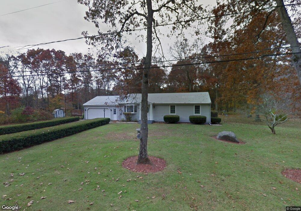
10 Hanson Rd Plainfield, CT 06374
Estimated Value: $372,318 - $403,000
About This Home
This home is located at 10 Hanson Rd, Plainfield, CT 06374 and is currently estimated at $386,330, approximately $309 per square foot. 10 Hanson Rd is a home located in Windham County with nearby schools including Plainfield Memorial School, Plainfield Central Middle School, and Plainfield High School.
Ownership History
We collect this data history from publicly available records. To have your information removed, we recommend requesting removal directly through your county’s website.
Purchase Details
Home Financials for this Owner
Home Financials are based on the most recent Mortgage that was taken out on this home.Purchase Details
Home Values in the Area
Average Home Value in this Area
Purchase History
We collect this data history from publicly available records. To have your information removed, we recommend requesting removal directly through your county’s website.
| Date | Buyer | Sale Price | Title Company |
|---|---|---|---|
| $107,000 | -- | ||
| $107,000 | -- | ||
| $105,000 | -- |
Mortgage History
We collect this data history from publicly available records. To have your information removed, we recommend requesting removal directly through your county’s website.
| Date | Status | Borrower | Loan Amount |
|---|---|---|---|
| Closed | $100,000 | ||
| Closed | $86,000 | ||
| Closed | $97,100 |
Tax History
We collect this data history from publicly available records. To have your information removed, we recommend requesting removal directly through your county’s website.
| Year | Tax Paid | Tax Assessment Tax Assessment Total Assessment is a certain percentage of the fair market value that is determined by local assessors to be the total taxable value of land and additions on the property. | Land | Improvement |
|---|---|---|---|---|
| 2025 | $4,555 | $196,010 | $37,740 | $158,270 |
| 2024 | $4,377 | $196,010 | $37,740 | $158,270 |
| 2023 | $4,355 | $196,010 | $37,740 | $158,270 |
| 2022 | $5,599 | $123,880 | $32,550 | $91,330 |
| 2021 | $3,733 | $123,880 | $32,550 | $91,330 |
| 2020 | $3,720 | $123,880 | $32,550 | $91,330 |
| 2019 | $3,720 | $123,880 | $32,550 | $91,330 |
| 2018 | $3,674 | $123,880 | $32,550 | $91,330 |
| 2017 | $3,588 | $113,470 | $34,270 | $79,200 |
| 2016 | $3,461 | $113,470 | $34,270 | $79,200 |
| 2015 | $3,383 | $113,470 | $34,270 | $79,200 |
| 2014 | $3,383 | $113,470 | $34,270 | $79,200 |
Map
- 504 Kate Downing Rd
- 59 Oakwood Blvd
- 13 Fernwood St
- 0 West Pkwy
- 295 Lathrop Rd
- 43 High Meadow Dr
- 109 Colonial Rd
- 0 Pond St Unit 24037041
- 83 Kate Downing Rd
- 0A Norwich Rd
- 107 Erin Dr
- 8 Erin Dr
- 609 Norwich Rd
- 59-61 Gallup St
- 37 Laperle Ave
- 34 Pleasant St Unit 4
- 34 Pleasant St Unit 6
- 34 Pleasant St Unit 8
- 25-27 Pleasant St
- 97 Lillibridge Rd
Ask me questions while you tour the home.