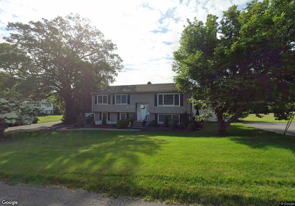
10 Hemlock Rd Seymour, CT 06483
Estimated Value: $479,015 - $518,000
5
Beds
4
Baths
2,116
Sq Ft
$237/Sq Ft
Est. Value
About This Home
This home is located at 10 Hemlock Rd, Seymour, CT 06483 and is currently estimated at $501,754, approximately $237 per square foot. 10 Hemlock Rd is a home located in New Haven County with nearby schools including Bungay Elementary School, Seymour Middle School, and Seymour High School.
Ownership History
Date
Name
Owned For
Owner Type
Purchase Details
Closed on
May 21, 1999
Sold by
Belfanti Theodore M and Belfanti Katherine I
Bought by
Karpovich Jason A and Karpovich Jennifer
Current Estimated Value
Create a Home Valuation Report for This Property
The Home Valuation Report is an in-depth analysis detailing your home's value as well as a comparison with similar homes in the area
Home Values in the Area
Average Home Value in this Area
Purchase History
| Date | Buyer | Sale Price | Title Company |
|---|---|---|---|
| Karpovich Jason A | $156,000 | -- |
Source: Public Records
Mortgage History
| Date | Status | Borrower | Loan Amount |
|---|---|---|---|
| Open | Karpovich Jason A | $259,954 | |
| Closed | Karpovich Jason A | $266,500 | |
| Closed | Karpovich Jason A | $260,000 | |
| Closed | Karpovich Jason A | $32,500 |
Source: Public Records
Tax History
| Year | Tax Paid | Tax Assessment Tax Assessment Total Assessment is a certain percentage of the fair market value that is determined by local assessors to be the total taxable value of land and additions on the property. | Land | Improvement |
|---|---|---|---|---|
| 2025 | $8,658 | $312,340 | $45,920 | $266,420 |
| 2024 | $8,129 | $220,670 | $37,100 | $183,570 |
| 2023 | $7,211 | $200,410 | $37,100 | $163,310 |
| 2022 | $7,133 | $200,410 | $37,100 | $163,310 |
| 2021 | $6,956 | $200,410 | $37,100 | $163,310 |
| 2020 | $5,766 | $160,160 | $43,610 | $116,550 |
| 2019 | $5,766 | $160,160 | $43,610 | $116,550 |
| 2018 | $5,766 | $160,160 | $43,610 | $116,550 |
| 2017 | $5,766 | $160,160 | $43,610 | $116,550 |
| 2016 | $5,766 | $160,160 | $43,610 | $116,550 |
| 2015 | $5,683 | $164,290 | $45,920 | $118,370 |
| 2014 | $5,592 | $164,290 | $45,920 | $118,370 |
Source: Public Records
Map
Nearby Homes
- 67 Micko Dr
- 71 Micko Dr
- 69 Micko Dr
- 65 Micko Dr
- 28 Elmwood Dr
- 73 Micko Dr
- 48 Micko Dr
- 50 Bissell Place
- 29 Balance Rock Rd Unit 5
- 22 Greenwood Cir
- 122 Derby Ave
- 85 Balance Rock Rd Unit 4
- 41 Balance Rock Rd Unit 16
- 50 Balance Rock Rd Unit 16
- 43 Balance Rock Rd Unit 1
- 75 Balance Rock Rd Unit 20
- 79 Balance Rock Rd Unit 12
- 79 Balance Rock Rd Unit 8
- 42 Greenwood Cir
- 68 New St
Your Personal Tour Guide
Ask me questions while you tour the home.