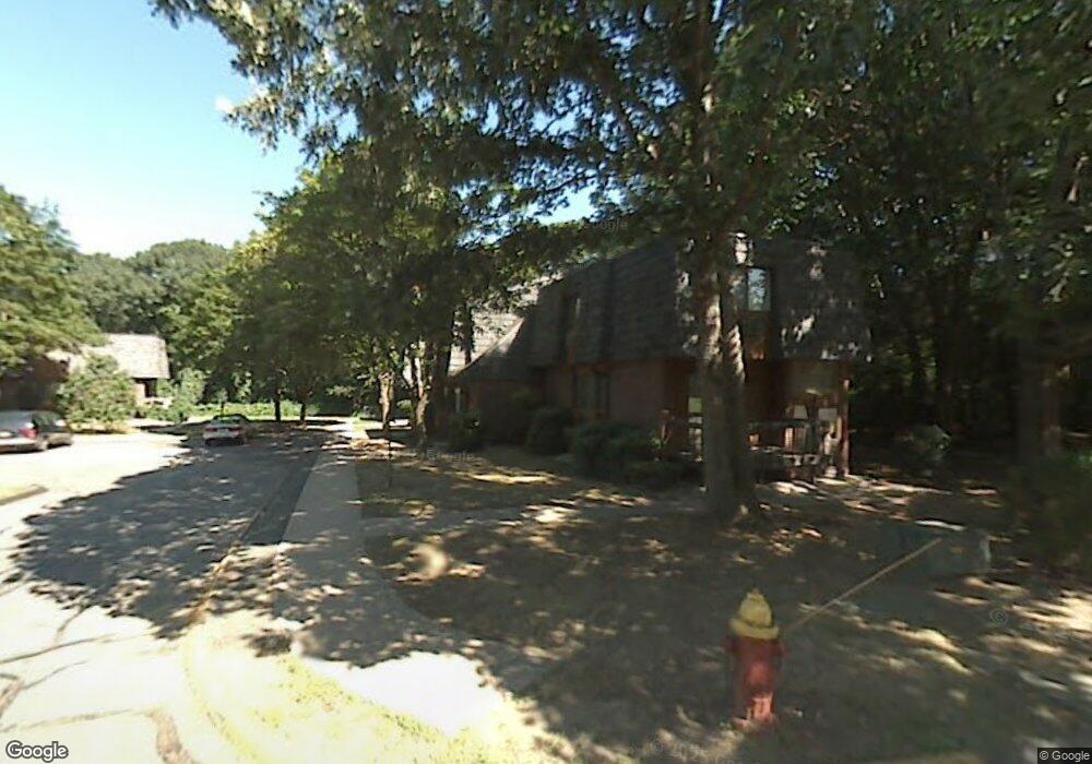
10 High Path Rd Windsor, CT 06095
West Windsor NeighborhoodEstimated Value: $186,000 - $236,949
3
Beds
3
Baths
1,390
Sq Ft
$152/Sq Ft
Est. Value
About This Home
This home is located at 10 High Path Rd, Windsor, CT 06095 and is currently estimated at $210,987, approximately $151 per square foot. 10 High Path Rd is a home located in Hartford County with nearby schools including Oliver Ellsworth School, John F. Kennedy School, and Sage Park Middle School.
Ownership History
Date
Name
Owned For
Owner Type
Purchase Details
Closed on
Nov 7, 2016
Sold by
Department Of Housing & Urban Dev
Bought by
Sweeney Anne M
Current Estimated Value
Home Financials for this Owner
Home Financials are based on the most recent Mortgage that was taken out on this home.
Original Mortgage
$94,261
Outstanding Balance
$75,616
Interest Rate
3.48%
Mortgage Type
FHA
Estimated Equity
$135,371
Purchase Details
Closed on
Nov 26, 2003
Sold by
Wells Fargo Bk
Bought by
Hypolite Pamela
Purchase Details
Closed on
Jul 16, 2001
Sold by
Henderson Marcie
Bought by
Rose Tanisha
Purchase Details
Closed on
Oct 23, 1995
Sold by
Davis Eleanor
Bought by
Henderson Marci
Create a Home Valuation Report for This Property
The Home Valuation Report is an in-depth analysis detailing your home's value as well as a comparison with similar homes in the area
Home Values in the Area
Average Home Value in this Area
Purchase History
| Date | Buyer | Sale Price | Title Company |
|---|---|---|---|
| Sweeney Anne M | $96,000 | -- | |
| Sweeney Anne M | $96,000 | -- | |
| Hypolite Pamela | $99,000 | -- | |
| Hypolite Pamela | $99,000 | -- | |
| Rose Tanisha | $80,000 | -- | |
| Rose Tanisha | $80,000 | -- | |
| Henderson Marci | $75,000 | -- | |
| Henderson Marci | $75,000 | -- |
Source: Public Records
Mortgage History
| Date | Status | Borrower | Loan Amount |
|---|---|---|---|
| Open | Henderson Marci | $94,261 |
Source: Public Records
Tax History
| Year | Tax Paid | Tax Assessment Tax Assessment Total Assessment is a certain percentage of the fair market value that is determined by local assessors to be the total taxable value of land and additions on the property. | Land | Improvement |
|---|---|---|---|---|
| 2025 | $2,810 | $98,770 | $0 | $98,770 |
| 2024 | $2,995 | $98,770 | $0 | $98,770 |
| 2023 | $2,166 | $64,470 | $0 | $64,470 |
| 2022 | $2,145 | $64,470 | $0 | $64,470 |
| 2021 | $2,145 | $64,470 | $0 | $64,470 |
| 2020 | $2,135 | $64,470 | $0 | $64,470 |
| 2019 | $2,088 | $64,470 | $0 | $64,470 |
| 2018 | $1,622 | $49,210 | $0 | $49,210 |
| 2017 | $1,590 | $49,000 | $0 | $49,000 |
| 2016 | $1,544 | $49,000 | $0 | $49,000 |
| 2015 | $1,515 | $49,000 | $0 | $49,000 |
| 2014 | $1,493 | $49,000 | $0 | $49,000 |
Source: Public Records
Map
Nearby Homes
- 98 High Path Rd
- 136 High Path Rd
- 943 High Path Rd Unit 943
- 268 High Path Rd Unit 268
- 485 River St
- 105 Sunrise Cir
- 22 Eastview Dr
- 1 Deanne Lynn Cir
- 35 Hollow Brook Rd
- 58 Hollow Brook Rd
- 32 Walnut Cir
- 24 Mary Catherine Cir
- 109 Old Village Cir
- 957 Palisado Ave
- 24 Coolidge St
- 490 Old Day Hill Rd
- 24 Bel-Aire Cir
- 24 MacKtown Rd
- 34 Cornwall Dr
- 3 Concorde Way Unit B1
- 10 High Path Rd Unit 10
- 12 High Path Rd
- 8 High Path Rd
- 14 High Path Rd
- 14 High Path Rd Unit 14
- 6 High Path Rd
- 6 High Path Rd Unit 6
- 4 High Path Rd
- 2 High Path Rd
- 16 High Path Rd
- 20 High Path Rd
- 20 High Path Rd Unit 20
- 22 High Path Rd
- 22 High Path Rd Unit 22
- 24 High Path Rd
- 24 High Path Rd Unit 24
- 26 High Path Rd
- 28 High Path Rd
- 30 High Path Rd
- 32 High Path Rd
Your Personal Tour Guide
Ask me questions while you tour the home.