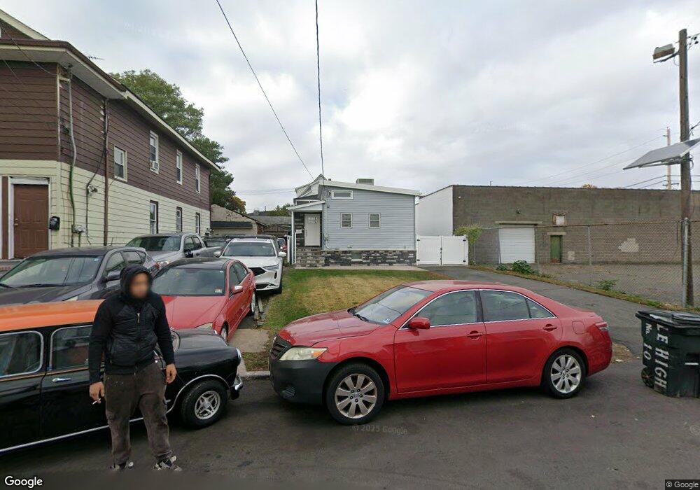
10 Lehigh Ave Paterson, NJ 07503
South Paterson NeighborhoodEstimated Value: $123,000 - $519,000
Studio
--
Bath
656
Sq Ft
$447/Sq Ft
Est. Value
About This Home
This home is located at 10 Lehigh Ave, Paterson, NJ 07503 and is currently estimated at $293,239, approximately $447 per square foot. 10 Lehigh Ave is a home located in Passaic County with nearby schools including Dale Avenue Elementary School, Edward W. Kilpatrick School of Discovery, and Paterson Public School No. 3.
Ownership History
Date
Name
Owned For
Owner Type
Purchase Details
Closed on
Jul 27, 2016
Sold by
Kislowski Marty
Bought by
Silva Saavera Paulo C
Current Estimated Value
Home Financials for this Owner
Home Financials are based on the most recent Mortgage that was taken out on this home.
Original Mortgage
$58,200
Outstanding Balance
$46,332
Interest Rate
3.41%
Mortgage Type
New Conventional
Estimated Equity
$246,907
Purchase Details
Closed on
Jul 11, 2006
Sold by
Tango Gertrude
Bought by
Kislowski Marty
Create a Home Valuation Report for This Property
The Home Valuation Report is an in-depth analysis detailing your home's value as well as a comparison with similar homes in the area
Home Values in the Area
Average Home Value in this Area
Purchase History
| Date | Buyer | Sale Price | Title Company |
|---|---|---|---|
| Silva Saavera Paulo C | $60,000 | Westcor Land Title Ins Co | |
| Kislowski Marty | -- | -- |
Source: Public Records
Mortgage History
| Date | Status | Borrower | Loan Amount |
|---|---|---|---|
| Open | Silva Saavera Paulo C | $58,200 |
Source: Public Records
Tax History
| Year | Tax Paid | Tax Assessment Tax Assessment Total Assessment is a certain percentage of the fair market value that is determined by local assessors to be the total taxable value of land and additions on the property. | Land | Improvement |
|---|---|---|---|---|
| 2025 | $4,988 | $97,900 | $45,100 | $52,800 |
| 2024 | $4,800 | $97,900 | $45,100 | $52,800 |
| 2022 | $4,545 | $97,900 | $45,100 | $52,800 |
| 2021 | $4,382 | $97,900 | $45,100 | $52,800 |
| 2020 | $4,087 | $97,900 | $45,100 | $52,800 |
| 2019 | $3,952 | $95,600 | $44,100 | $51,500 |
| 2018 | $4,002 | $92,500 | $43,600 | $48,900 |
| 2017 | $3,819 | $91,800 | $43,200 | $48,600 |
| 2016 | $4,200 | $96,800 | $45,500 | $51,300 |
| 2015 | $3,977 | $96,800 | $45,500 | $51,300 |
| 2014 | $4,785 | $165,000 | $143,400 | $21,600 |
Source: Public Records
Map
Nearby Homes
- 209 Michigan Ave Unit 211
- 73 Raritan Ave Unit 75
- 357-361 Getty Ave
- 355-357 Getty Ave
- 297 Delaware Ave Unit 299
- 156 Kentucky Ave Unit 158
- 126 Gould Ave
- 185 Trenton Ave Unit 187
- 162 Dundee Ave Unit 164
- 432-434 Trenton Ave Unit 7
- 432-434 Trenton Ave Unit 9
- 213 Vernon Ave Unit 215
- 213-215 Vernon Ave
- 432 Trenton Ave
- 137 23rd Ave
- 137-139 23rd Ave
- 27 Robert St Unit 29
- 1046 E 26th St Unit 1048
- 1046-1048 E 26th St
- 8 Kipp Place
- 12 Lehigh Ave Unit 14
- 78 Illinois Ave
- 76 Illinois Ave
- 179 Michigan Ave
- 185-187 Michigan Ave
- 9 Lehigh Ave
- 9 Columbia Ave Unit 11
- 193 Michigan Ave
- 185 Michigan Ave Unit 187
- 181 Michigan Ave Unit 183
- 173 Michigan Ave Unit 175
- 94 Illinois Ave
- 195 Michigan Ave Unit 197
- 96 Illinois Ave
- 199 Michigan Ave Unit 201
- 201 Michigan Ave Unit 203
- 205 Michigan Ave
- 230 Wabash Ave Unit 232
- 180 Michigan Ave Unit 182
- 100 Illinois Ave Unit 102
Your Personal Tour Guide
Ask me questions while you tour the home.