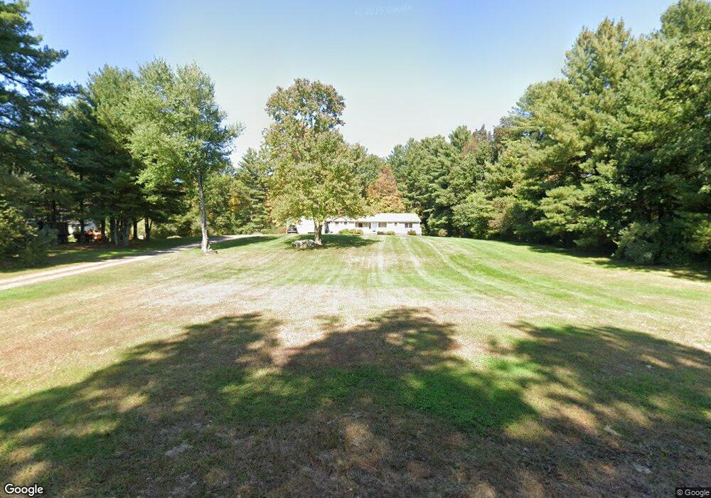
10 Liska Rd Willington, CT 06279
Estimated Value: $375,000 - $435,000
3
Beds
3
Baths
1,892
Sq Ft
$217/Sq Ft
Est. Value
About This Home
This home is located at 10 Liska Rd, Willington, CT 06279 and is currently estimated at $410,173, approximately $216 per square foot. 10 Liska Rd is a home located in Tolland County with nearby schools including Center Elementary School, Hall Memorial School, and E.O. Smith High School.
Ownership History
Date
Name
Owned For
Owner Type
Purchase Details
Closed on
Mar 26, 2020
Sold by
Collins Jessica L
Bought by
Malia James G
Current Estimated Value
Home Financials for this Owner
Home Financials are based on the most recent Mortgage that was taken out on this home.
Original Mortgage
$237,000
Outstanding Balance
$183,594
Interest Rate
3.4%
Mortgage Type
New Conventional
Estimated Equity
$226,579
Purchase Details
Closed on
Oct 15, 1998
Sold by
Deskus Christopher and Hughes Janice
Bought by
Malia James and Malia Melanie
Purchase Details
Closed on
Jan 3, 1991
Sold by
Desus Robert
Bought by
Deskus Christopher and Hughes Janice
Create a Home Valuation Report for This Property
The Home Valuation Report is an in-depth analysis detailing your home's value as well as a comparison with similar homes in the area
Home Values in the Area
Average Home Value in this Area
Purchase History
| Date | Buyer | Sale Price | Title Company |
|---|---|---|---|
| Malia James G | -- | None Available | |
| Malia James G | -- | None Available | |
| Malia James | $137,500 | -- | |
| Malia James | $137,500 | -- | |
| Deskus Christopher | $150,000 | -- |
Source: Public Records
Mortgage History
| Date | Status | Borrower | Loan Amount |
|---|---|---|---|
| Open | Malia James G | $237,000 | |
| Closed | Malia James G | $237,000 | |
| Previous Owner | Deskus Christopher | $252,360 |
Source: Public Records
Tax History
| Year | Tax Paid | Tax Assessment Tax Assessment Total Assessment is a certain percentage of the fair market value that is determined by local assessors to be the total taxable value of land and additions on the property. | Land | Improvement |
|---|---|---|---|---|
| 2025 | $6,895 | $271,240 | $57,750 | $213,490 |
| 2024 | $5,907 | $174,310 | $35,310 | $139,000 |
| 2023 | $5,606 | $174,310 | $35,310 | $139,000 |
| 2022 | $5,451 | $174,310 | $35,310 | $139,000 |
| 2021 | $5,228 | $174,310 | $35,310 | $139,000 |
| 2020 | $5,228 | $174,310 | $35,310 | $139,000 |
| 2019 | $5,245 | $174,310 | $35,310 | $139,000 |
| 2018 | $5,249 | $174,440 | $47,170 | $127,270 |
| 2017 | $5,249 | $174,440 | $47,170 | $127,270 |
| 2015 | $4,769 | $174,440 | $47,170 | $127,270 |
| 2014 | $4,769 | $174,440 | $47,170 | $127,270 |
Source: Public Records
Map
Nearby Homes
- 0 Jared Sparks Rd
- 228 Ruby Rd
- 292 Tolland Turnpike
- 0 Lohse Rd Unit map 42 block 21
- 173 Westford Hill Rd
- 167 Armitage Rd
- 102 Krapf Rd
- 0 River Rd Unit 24120753
- 21 Ashley Ln
- 38 Schofield Rd
- 159 Nott Hwy
- 144 Hnath Rd
- 44 Michalec Rd
- 49 Lake View Dr
- 28 Cemetery Rd
- 280 Village Hill Rd
- 0 Tolland Stage Rd Unit 24101836
- 57 Hall Hill Rd
- 214 James Rd
- 69 Cisar Rd
Your Personal Tour Guide
Ask me questions while you tour the home.